Rail Infrastructure
Drone Railway Survey Service
Precise rail corridor mapping, clearance analysis, and structure gauging—all without costly track possessions or access requirements.
Avg Response within 5 Mins • Or ring +44 1334 804554
Understanding Drone Railway Surveys
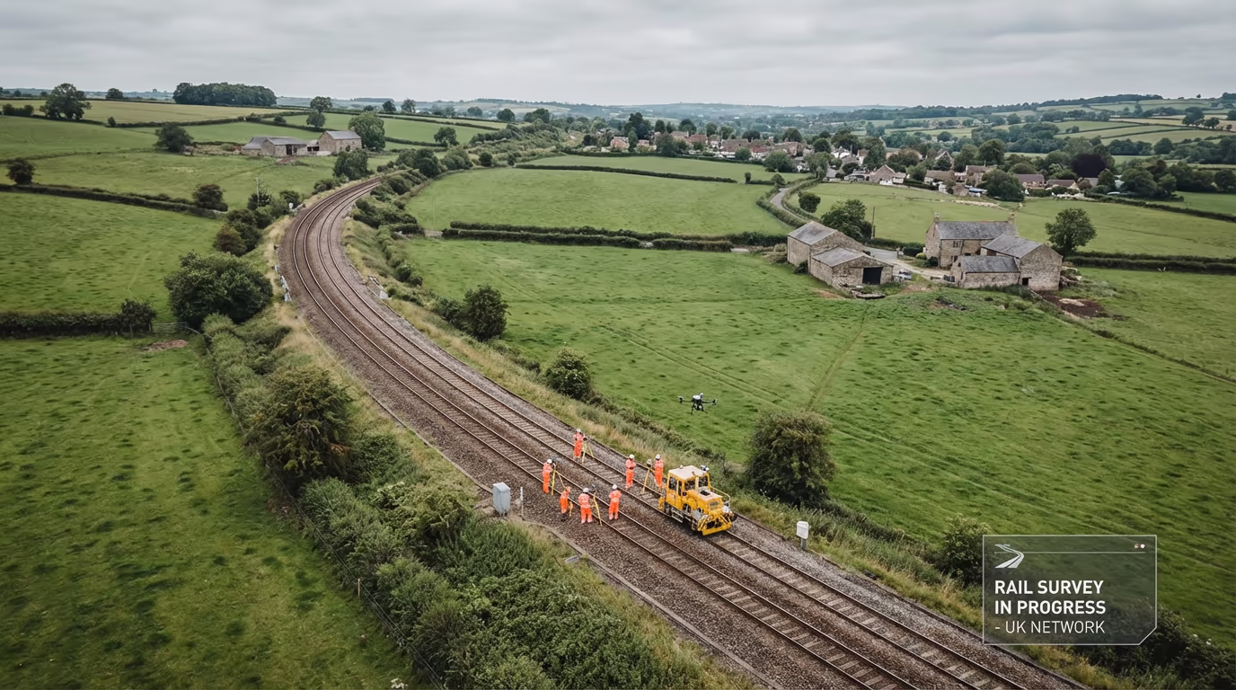
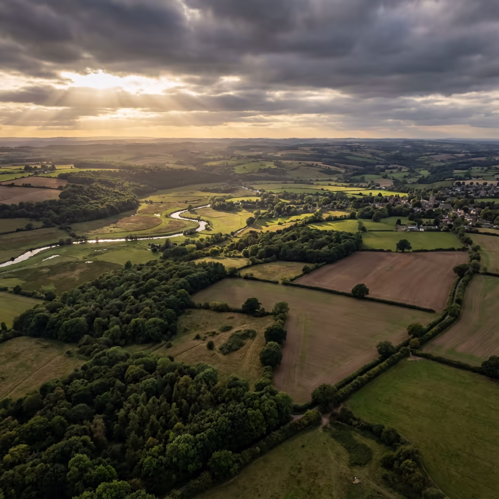
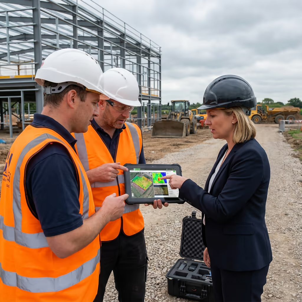
A UAV railway survey employs unmanned aircraft to gather detailed data along rail corridors without requiring track access or possessions. Our drones fly parallel to the track, capturing high-resolution imagery and precise measurements of the permanent way, structures, vegetation, and lineside assets.
At Hire Drone Pilot, we specialise in rail infrastructure surveys for Network Rail projects, heritage railways, and private freight operators. Our drone-based approach delivers survey-grade precision while eliminating the safety risks and operational disruption of conventional track-based methods.

Peter Leslie
Owner & Drone Pilot
"Have questions? Ring me directly - I'm happy to discuss your project requirements."
Call NowRail Corridor Data,No Track Access Needed
What You'll Receive
- Corridor orthomosaic imagery
- Cross-sections at specified intervals
- Clearance analysis reports
- Structure gauging data
Delivered in 5-10 working days
Why Use HireDronePilot
- CAA certified & fully insured
- No track possessions required
- Network Rail project experience
- Nationwide availability
Relied upon by rail infrastructure managers, TOCs, and engineering consultancies.
Relied upon by leading organisations
What's the Investment for an Drone Railway Survey?
Pricing depends on corridor length, deliverable requirements, and site complexity. Here's a guide to assist with your budget planning:
| Corridor Length | Guide Price |
|---|---|
| Short SectionUnder 2km | £1,000+ |
| Medium2–10km | £2,500+ |
| Long Corridor10–25km | £5,000+ |
| Major Route25+km | POA |
| Network Rail ProjectsAll sizes | POA |
*Guide prices include standard deliverables. Final quote based on corridor complexity, vegetation, structures, and specific requirements.
What affects your quote?
- Corridor length & complexity
- Number of structures
- Vegetation density
- Deliverable requirements
By eliminating the need for track possessions, our UAV railway surveys save substantial costs compared to conventional rail surveying methods. Get in touch with your project details for a tailored quote within 24 hours.
Prepared to receive a quote for your rail project?
Free, no-obligation quotes within 24 hours
How Do Drone Railway Surveys Compare to Conventional Methods?
Conventional rail surveys require track possessions—blocking the line to allow survey teams safe access. This means service disruption, substantial possession costs, and complex safety planning including Controller of Site Safety (COSS) and Personal Track Safety (PTS) requirements.
UAV railway surveys eliminate these requirements entirely. Our drones fly from positions adjacent to the track, capturing thorough data without ever needing to step on the ballast. This transforms project timelines and budgets while actually improving data coverage—we can survey areas that would be difficult or dangerous to access on foot.
When to Choose Each Approach
UAV Railway Survey
No track access required
Conventional Rail Survey
Track possession required
Not sure which approach suits your project?
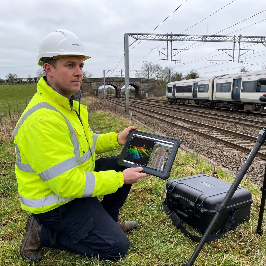
What Precision Levels Do Drone Railway Surveys Attain?
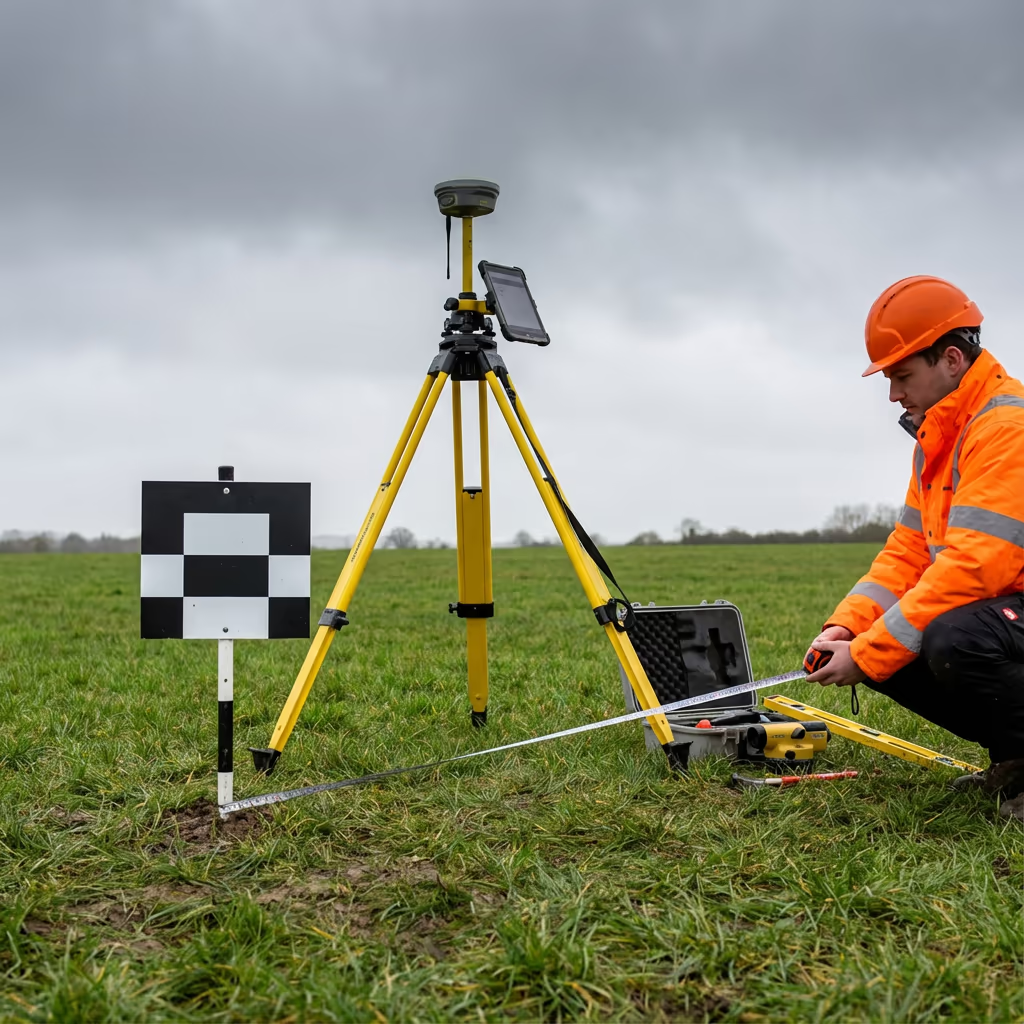
Our UAV railway surveys attain accuracies of ±2-5cm horizontally and ±3-5cm vertically when using RTK/PPK positioning and ground control points. This meets the requirements for most rail infrastructure applications including clearance analysis, structure gauging, and asset condition assessment.
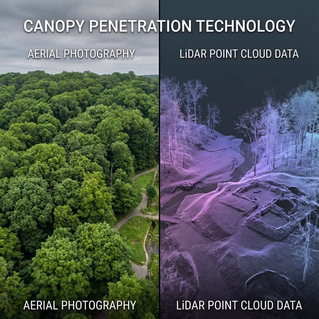
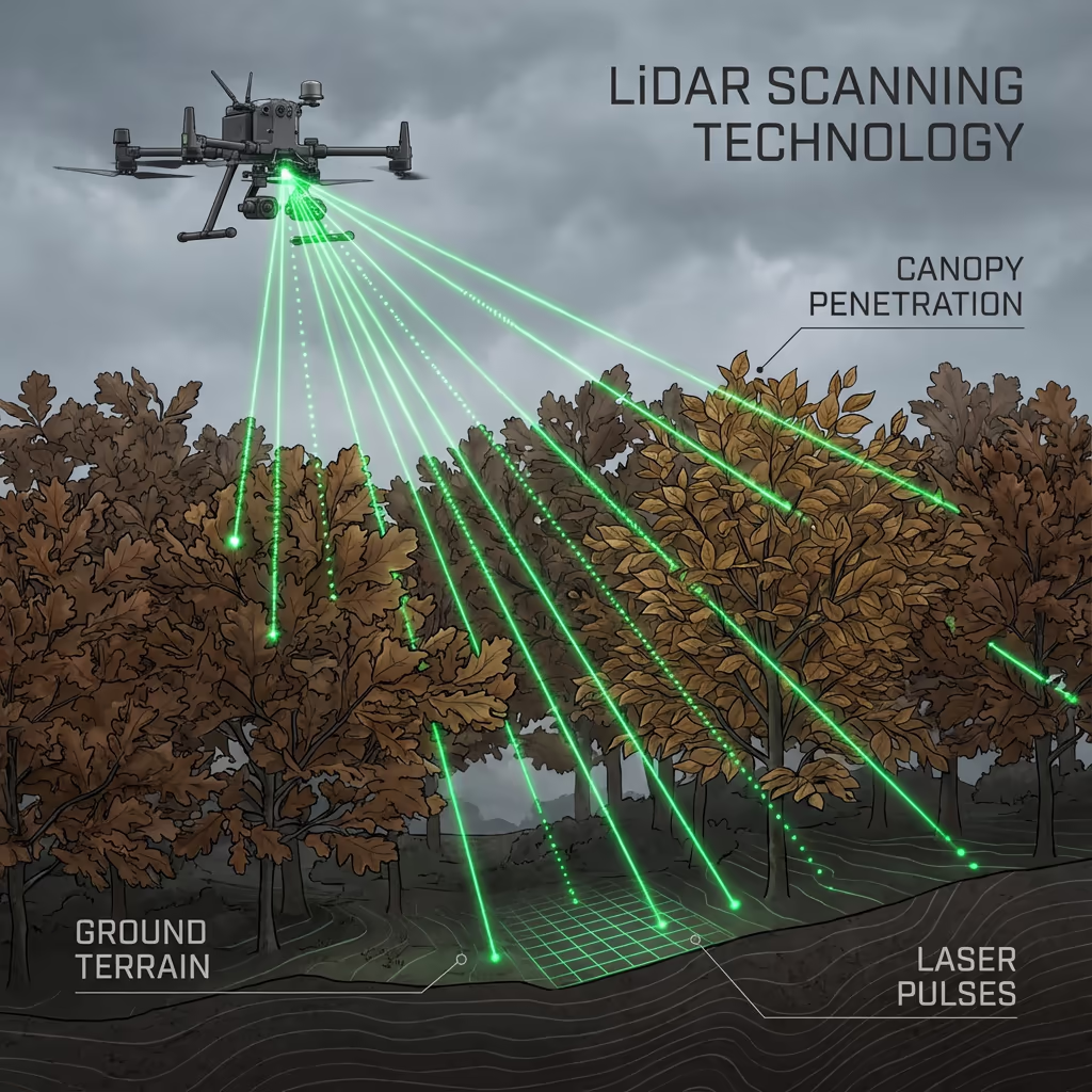
For projects requiring enhanced precision, we can combine drone photogrammetry with LiDAR scanning to attain even tighter tolerances. Our survey methodology is designed to complement Network Rail standards and GRIP stage requirements, ensuring data is fit for purpose from initial feasibility through detailed design.
Where Are Drone Railway Surveys Applied?
UAV railway surveys support a wide range of rail infrastructure projects. Here are the key applications where our clients see the greatest value:
Clearance Analysis
Structure gauge verification, platform clearances, and overhead line equipment surveys for electrification and freight gauge enhancement projects.
Vegetation Management
Lineside vegetation mapping, encroachment assessment, and leaf-fall risk analysis to support maintenance planning.
Asset Condition
Bridge inspections, retaining wall surveys, culvert assessments, and lineside structure monitoring without scaffolding or access equipment.
Enhancement Schemes
Baseline surveys for line upgrades, platform extensions, new stations, and capacity enhancement projects.
Heritage Railways
Track condition surveys, level crossing assessments, and infrastructure documentation for preserved lines.
Incident Response
Rapid deployment for earthworks failures, landslips, bridge strikes, and emergency condition assessments.
Have a rail project that needs surveying?
Can UAVs Survey Rail Corridors Without Track Access?
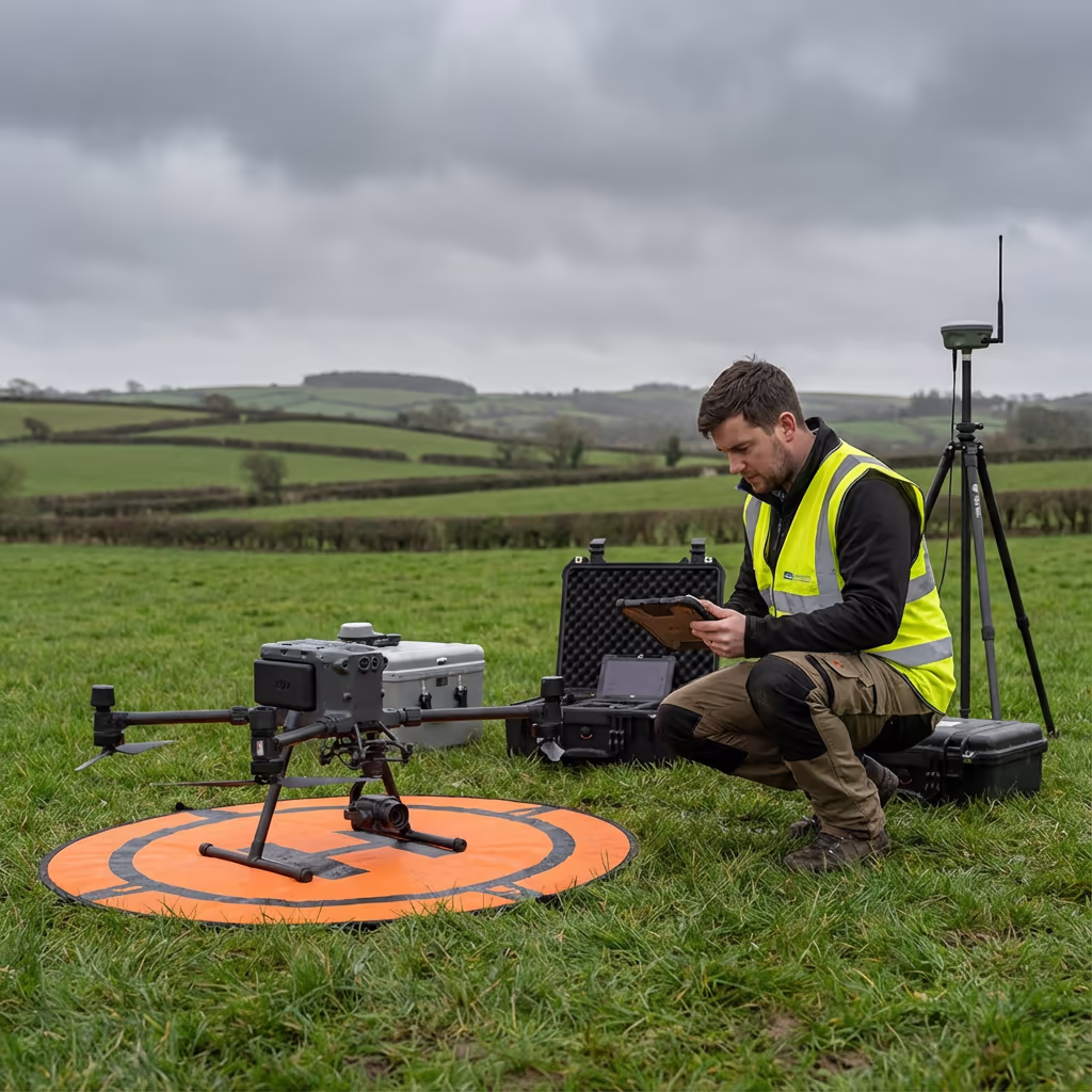
Yes—and this is where UAV railway surveys deliver transformational benefits. Our drones operate from positions outside the railway boundary, typically from adjacent land, roads, or Network Rail access points. We never need to step on the track or require a possession.
For open track sections, we fly parallel to the corridor at appropriate standoff distances. For bridges, tunnels, and confined areas, we use oblique photography and LiDAR to capture data from accessible positions. This approach enables surveys during normal traffic operations—even on busy main lines.
The result is quicker project timelines, dramatically reduced costs, and zero impact on train services. For Network Rail projects, this means no possession planning, no COSS coordination, and no track access forms—just high-quality survey data delivered efficiently.
What Outputs Do You Receive From an Drone Railway Survey?
We tailor outputs to your project requirements, but our standard UAV railway survey deliverables include:
Corridor Orthomosaic
High-resolution georeferenced imagery of the entire rail corridor, ideal for condition assessment, vegetation mapping, and desktop review.
Cross-Sections
Track cross-sections at your specified intervals showing rail level, ballast profile, cess, and lineside features.
Clearance Analysis
Structure gauge assessments, platform edge measurements, and overhead clearance data for gauge enhancement projects.
Structure Gauging
Bridge soffit levels, platform copings, tunnel profiles, and other structure dimensions against gauge requirements.
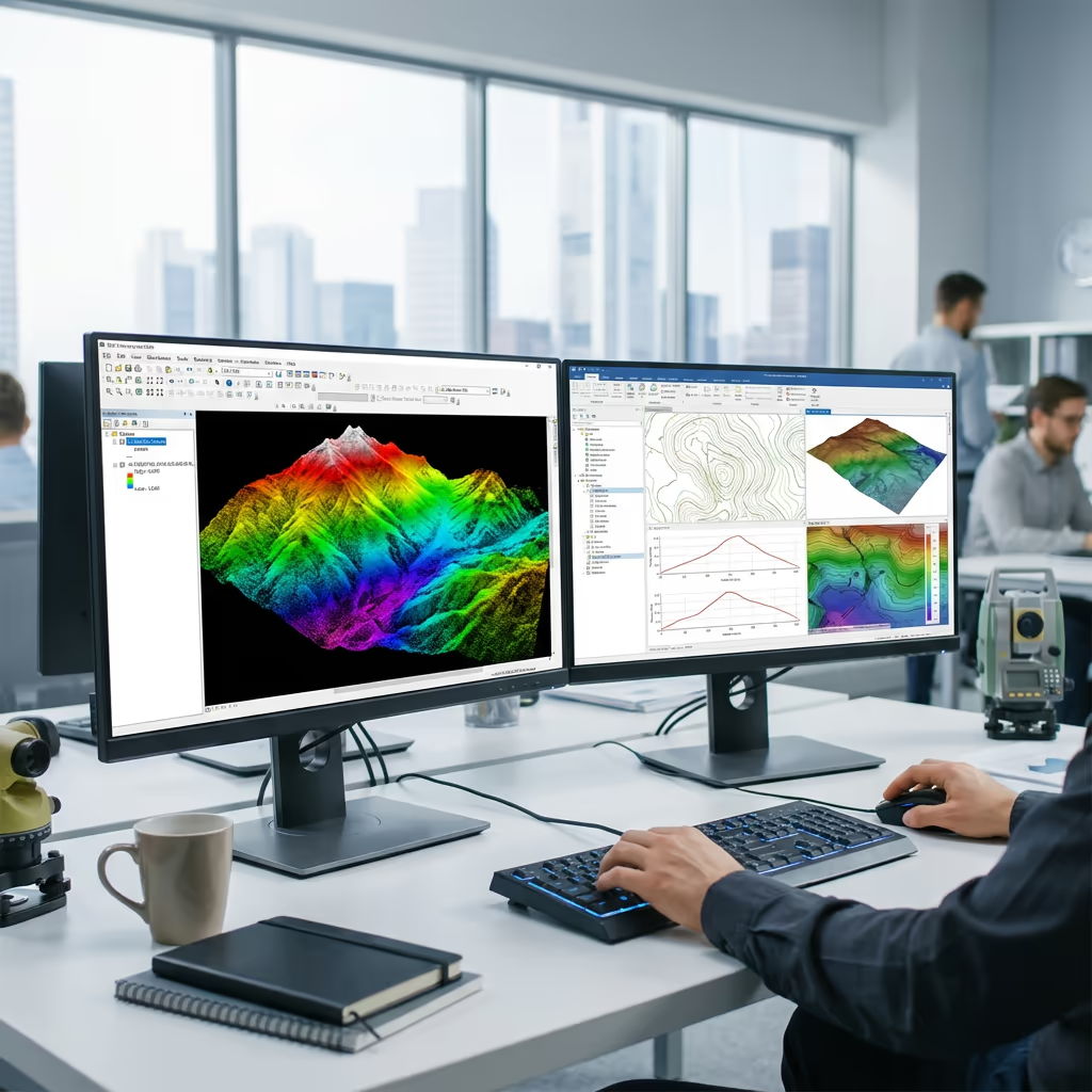
CAD Files & 3D Models
DWG/DXF drawings, 3D mesh models, and point cloud data compatible with major rail design software.
Need specific outputs for your rail project?
What's the Duration of an Drone Railway Survey?
On-site data capture is remarkably quick. We typically survey 5-15km of corridor per day depending on complexity, vegetation, and the number of structures requiring detailed capture. A 10km branch line survey usually takes just one day of field work.
Processing and delivery depends on your required outputs. Standard corridor surveys are typically delivered within 5-10 working days. Complex projects with detailed clearance analysis may require 10-15 days. For urgent requirements, we offer expedited processing with quicker turnaround available.
| Phase | Duration |
|---|---|
| Planning & Coordination | 2-5 days |
| On-Site Data Capture | 1-3 days |
| Data Processing | 3-5 days |
| Analysis & QC | 2-4 days |
| Deliverable Generation | 2-3 days |
| Total (Standard) | 5-10 working days |
Express Processing Available
Need it faster? Expedited delivery available for urgent rail projects.
How Should I Select an Drone Railway Survey Provider?
Rail survey work requires specialist knowledge beyond standard drone operations. When evaluating providers, we recommend checking these key factors:
- CAA authorisation – Valid GVC permissions for commercial operations near rail infrastructure
- Rail sector experience – Understanding of Network Rail standards, GRIP stages, and rail-specific deliverables
- Professional insurance – Adequate liability cover for operations near critical infrastructure
- Clearance analysis capability – Software and expertise for gauge verification and structure assessment
- Proven track record – Case studies from similar rail corridor projects
At Hire Drone Pilot, we bring engineering expertise combined with advanced UAV technology to deliver rail surveys that meet the highest professional standards. We're CAA certified, fully insured, and experienced in working with Network Rail, TOCs, and rail engineering consultancies.
Prepared to work with a reliable rail survey provider?
Are Drone Railway Surveys More Cost-Effective Than Track-Based Methods?
Considerably—often by 50-70% or more. Conventional rail surveys carry substantial costs beyond the survey work itself: track possession charges, safety personnel (COSS, lookouts), service disruption compensation, and the extended timescales required to secure possessions on busy routes.
Our drone-based approach eliminates all these costs. We can survey during normal traffic operations, require no track access, and typically complete projects in a fraction of the time. For a typical 10km corridor survey, the savings compared to conventional methods can easily exceed £10,000-£20,000—while actually delivering more thorough data coverage.
Prepared to Talk About Your Rail Survey Project?
Expert guidance • No possession costs • Avg Response within 5 Mins

Peter Leslie
Owner & Drone Pilot
With considerable engineering expertise and specialist UAV knowledge, Peter personally oversees every rail survey project to ensure professional standards and precise deliverables.
TLDR: UAV Railway Surveys Explained
Railway Survey Outputs
- Corridor orthomosaic
- Cross-sections
- Clearance analysis
- Structure gauging
- CAD files (DWG/DXF)
- 3D models & point clouds
Talk About Your Rail Project
Receive expert guidance and tailored pricing.
Drone Pilot Reviews
Why Drone Pilots Rate HireDronePilot 5 Stars
Don't just take our word for it. Here's what drone pilots in our UK network say about getting work through the platform.
“I get relevant commercial briefs with clear scopes, so quoting is fast and accurate. It has helped me win consistent survey work without chasing low-quality leads.”
Adam Carter
Drone Pilot
“Since joining the platform, I have filled gaps in my schedule with quality roof and inspection jobs. The enquiry details are much better than generic lead forms.”
Sophie Bennett
Drone Pilot
“HireDronePilot makes it easier to focus on delivery. I can review project briefs quickly, submit competitive quotes, and pick up work in new regions.”
Daniel Khan
Drone Pilot