Verified drone pilots covering Cambridge.
1 verified pilot in the current local shortlist. 2 additional profiles are shown separately with checks in progress. Availability, travel and project suitability must be confirmed directly.

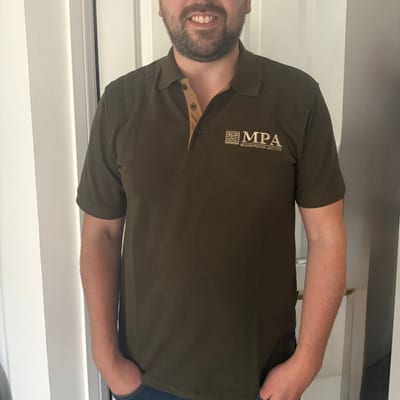
Fraser Whyte
What360
Centimetre-level aerial mapping, orthomosaic surveys, point clouds and progress monitoring for construction, land and infrastructure projects.
“Verified” means HireDronePilot reviewed the credential and insurance information supplied for the profile at publication. Profile descriptions and equipment lists are pilot supplied; confirm current project requirements before booking.
Profiles with checks in progress
Shown for coverage context only. These profiles cannot receive enquiries through HireDronePilot until their checks are complete.
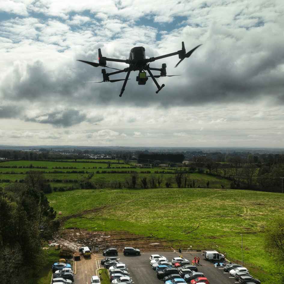
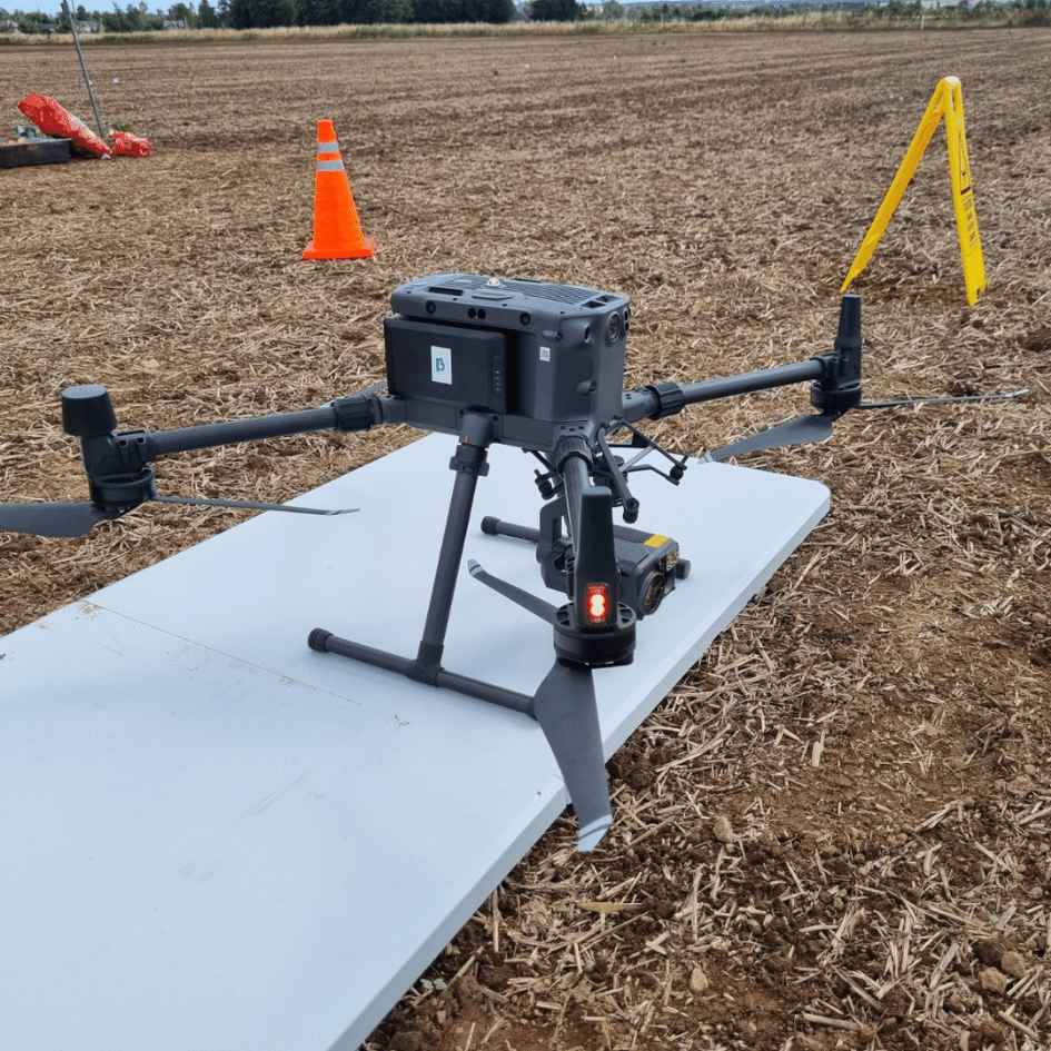
Craig McLaren
McLaren Precision Agriculture
Precision multispectral, topographic and site surveys.
Not accepting enquiries until checks are complete.

James Richardson
Stamford Creative
Photography, videography, drone and more across the East Midlands.
Not accepting enquiries until checks are complete.
Whatever your drone challenge in Cambridge, we have the drone pilot to solve it.
From complex engineering surveys to simple property photography, our verified network handles it safely and legally.
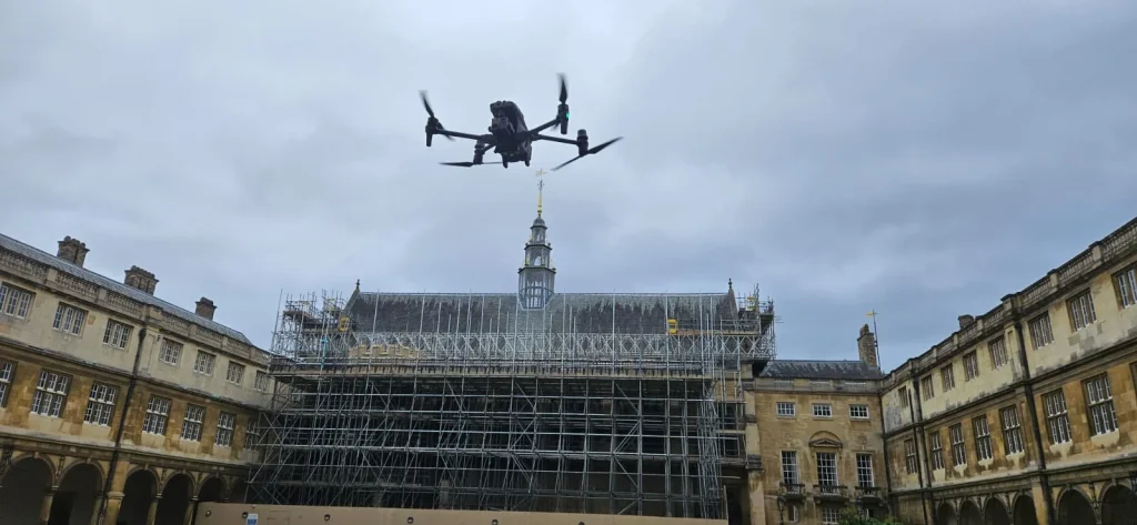
Drone Roof Survey Cambridge
Dangerous roof to inspect? Keep your staff off scaffolding with high-resolution roof inspections captured safely, quickly and at a fraction of traditional access costs.
Drone LiDAR Survey Cambridge
Mapping dense terrain? Our LiDAR specialists can penetrate heavy vegetation to deliver highly precise, actionable terrain models for your engineering projects.
Drone Topographic Survey Cambridge
Need fast topographic data? Stop waiting weeks for traditional surveyors. Get detailed, survey-grade topographic data to keep your construction timeline on track.
Drone Site Monitoring Cambridge
Monitoring site progress? Keep stakeholders informed with regular 3D site models, orthomosaic maps and progress records captured seamlessly from the air.
Drone Thermal Survey Cambridge
Losing money on heat loss? Pinpoint exactly where your building or solar array is failing using advanced thermal drone diagnostics and energy-audit imagery.
Drone Volumetric Survey Cambridge
Guessing stockpile volumes? Replace dangerous manual measurements with accurate volumetric calculations for quarries, earthworks, recycling and material sites.
Not sure exactly what you need? Don't worry, The selected independent pilot must assess the site and obtain any required airspace, landowner or local-authority permissions before flying.
Submit a project briefCambridge Drone Operations FAQ
Commercial drone flying across the CB postcode.
Can you fly over King's College Chapel?
What about Cambridge Airport (EGSC) ATZ?
How much does a Cambridge drone survey cost?
Ready to hire a Cambridge drone pilot?
Post one brief. HireDronePilot aims to review it within one working day before introducing relevant independent pilots. Pilot response times vary.
Submit Cambridge Brief