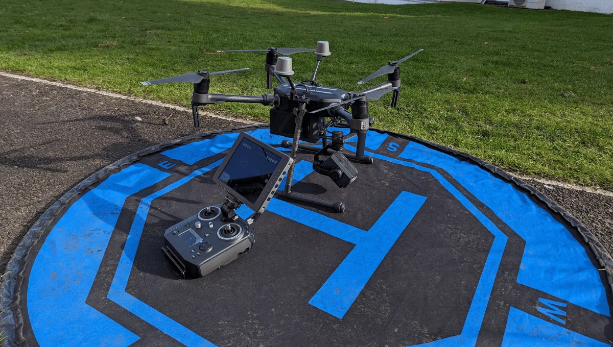
Find Drone Pilots in Perthshire.
Browse verified drone pilot profiles covering Perthshire. Submit a project brief for manual review; independent pilots decide whether to quote.

“For every verified profile, we record the insurance and CAA credentials supplied at the time of review.”
Peter Leslie · Founder & GVC Drone Pilot
Trusted by site managers & agencies across the UK
Need a Perthshire drone survey?
HireDronePilot manually reviews the brief and may introduce relevant independent pilots with verified profiles. Pilots decide whether to quote.
Add the service, full project postcode, timing and project details so we can review a useful brief.
Telephone and budget are optional. Privacy policy.
Verified drone pilots covering Perthshire.
3 verified pilots in the current local shortlist. Availability, travel and project suitability must be confirmed directly.

Michael Groves
Broadwing Media Ltd
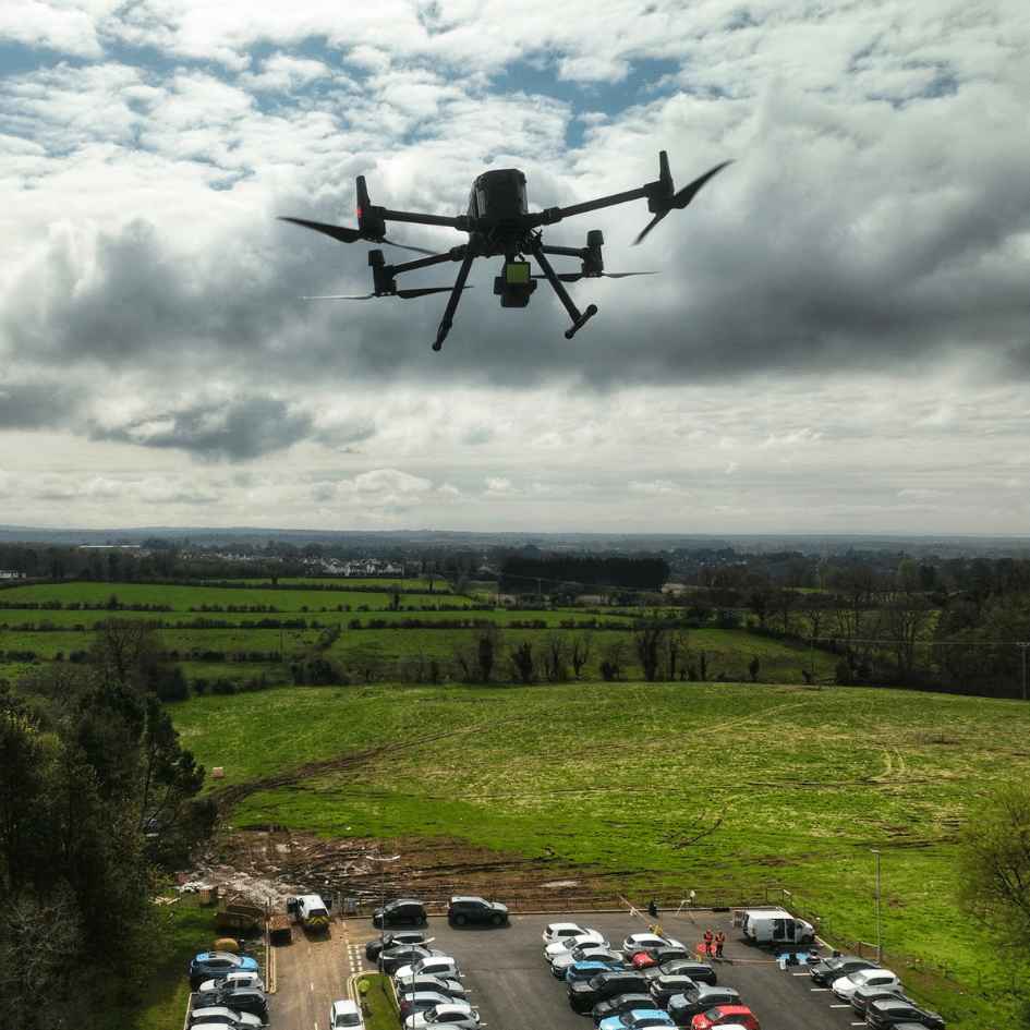
Aerial data your site can build on.
Gavin Bresler
GB Tech Aerial
GB Tech Aerial provides thermal and visual building inspections with engineer-validated condition reports that help property owners and FM teams prioritise maintenance and reduce…
James Leslie
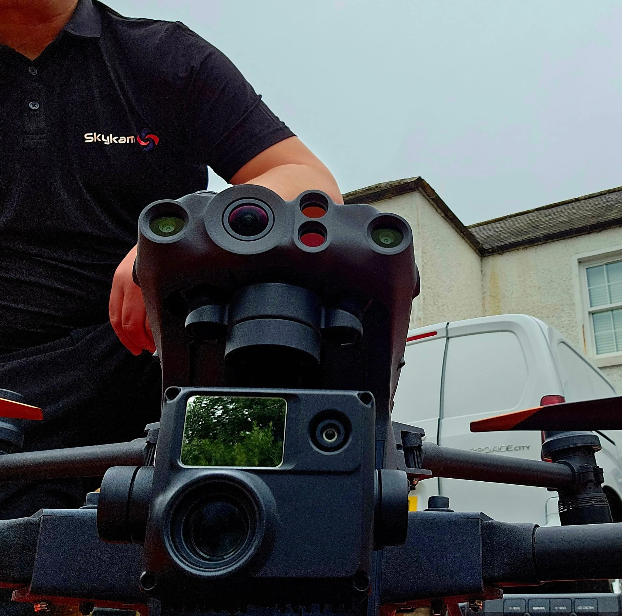
Skykam Drone Inspections
We're not just drone operators, we're inspection specialists. We combine enterprise-grade UAVs with sector-specific expertise to deliver actionable data, Making us the smart…
“Verified” means HireDronePilot reviewed the credential and insurance information supplied for the profile at publication. Profile descriptions and equipment lists are pilot supplied; confirm current project requirements before booking.
Flying across rural Perthshire has its quirks. We make it easy.
From Perth High Street to Blair Atholl, three recurring blockers on Perthshire projects.
Perth Airport ATZ
Perth Airport (Scone) sits just east of the city with an active ATZ, and military low-flying routes cross the county. The selected independent pilot must assess the site and obtain any required airspace, landowner or local-authority permissions before flying.
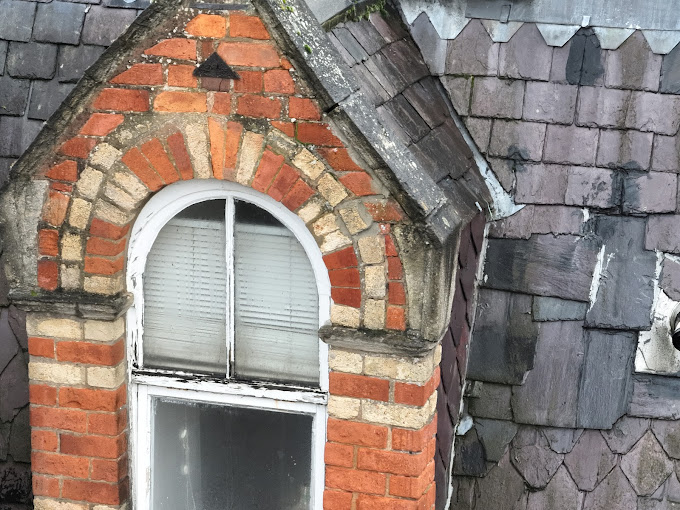
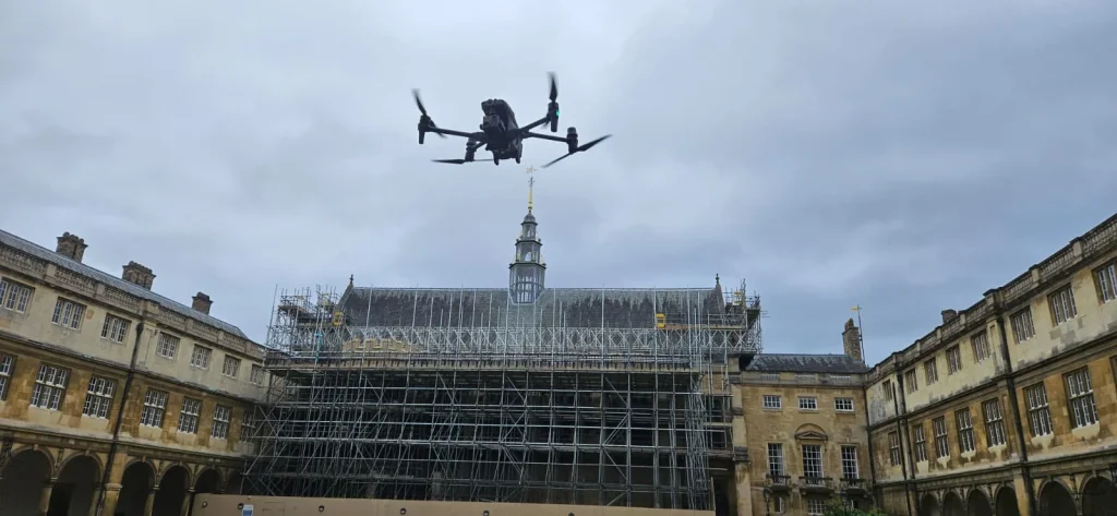
Estates, Castles & Listed Roofs
Blair, Scone, Glamis and countless smaller estates have listed rooflines. A drone captures stonework detail without scaffolding the whole frontage.
Glen Weather & Wildlife
Deep glen wind and Schedule 1 wildlife disturbance rules add real complexity. The selected independent pilot must assess the site and obtain any required airspace, landowner or local-authority permissions before flying.
What “verified” means on HireDronePilot.
For verified profiles covering Perthshire, HireDronePilot records the credential and insurance information supplied at the time of review. The profile shows when that review was recorded.
Verification is not a guarantee that a pilot, policy, authorisation or aircraft is suitable for every job. Confirm current insurance, site access, airspace permissions, risk assessment, equipment and deliverables directly with the independent pilot before booking.
Profiles with checks in progress are shown separately and cannot receive HireDronePilot enquiries.
The smartest way to survey a Perthshire property.
Why estate factors and rural property managers have switched to drone data.
Eliminate Access Costs
A typical drone roof survey in Perthshire costs £200 - £500. Getting a MEWP up a rural single-track road costs a small fortune. Same data, fraction of the price.
Zero WAH Risk
Working at height on a Victorian country-house roof is high-risk. Drone surveys keep boots on the ground.
Rapid Deployment
Scheduling and delivery depend on pilot availability, weather, site access, airspace permissions and the agreed scope.
Post once. Request a manual review.
Each brief is reviewed manually before any introduction.
Post Your Perthshire Brief
Quick form with your PH postcode. We use the location during our one-working-day brief review.
Manual Brief Review
HireDronePilot manually reviews the brief and may introduce relevant independent pilots with verified profiles. Pilots decide whether to quote.
Hire & Get Data
Choose your drone pilot, deal direct. The chosen independent pilot is responsible for the risk assessment, permissions and agreed deliverables.
Perthshire Drone Operations FAQ
Commercial drone flying across Perth and the wider county.
Can you fly a drone over central Perth?
How much does a drone survey cost in Perthshire?
Can you fly inside a National Scenic Area?
What about military low-flying routes?
Whatever your drone challenge in Perthshire, we have the drone pilot to solve it.
From complex engineering surveys to simple property photography, our verified network handles it safely and legally.
Drone Roof Survey Perthshire
Dangerous roof to inspect? Keep your staff off scaffolding with high-resolution roof inspections captured safely, quickly and at a fraction of traditional access costs.
Drone LiDAR Survey Perthshire
Mapping dense terrain? Our LiDAR specialists can penetrate heavy vegetation to deliver highly precise, actionable terrain models for your engineering projects.
Drone Topographic Survey Perthshire
Need fast topographic data? Stop waiting weeks for traditional surveyors. Get detailed, survey-grade topographic data to keep your construction timeline on track.
Drone Site Monitoring Perthshire
Monitoring site progress? Keep stakeholders informed with regular 3D site models, orthomosaic maps and progress records captured seamlessly from the air.
Drone Thermal Survey Perthshire
Losing money on heat loss? Pinpoint exactly where your building or solar array is failing using advanced thermal drone diagnostics and energy-audit imagery.
Drone Volumetric Survey Perthshire
Guessing stockpile volumes? Replace dangerous manual measurements with accurate volumetric calculations for quarries, earthworks, recycling and material sites.
Not sure exactly what you need? Don't worry, The selected independent pilot must assess the site and obtain any required airspace, landowner or local-authority permissions before flying.
Submit a project briefAlso covering nearby Scottish regions
Our verified-profile directory extends across Scotland.
Ready to inspect your Perthshire property?
Don't pay rural access prices until you know you need to. Post your brief now.
Start Your Project Brief
Add the service, full project postcode, timing and project details so we can review a useful brief.
Telephone and budget are optional. Privacy policy.