Serving Kent, The Garden of England
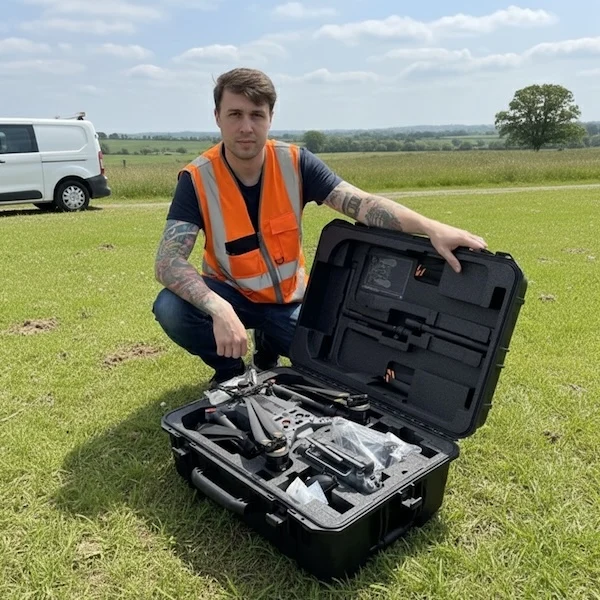
Hire Vetted Drone Pilots in Kent.
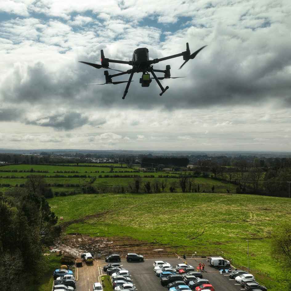
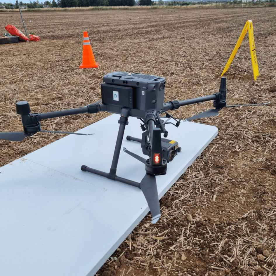
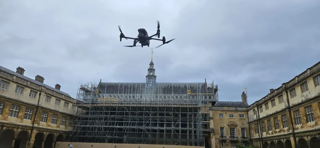
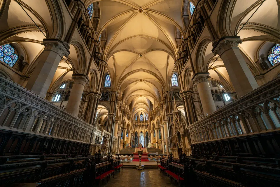
From Canterbury Cathedral to Dover's white cliffs — compare quotes from CAA-approved drone operators aware of Biggin Hill CTR, Lydd ATZ and Manston's restricted airspace.
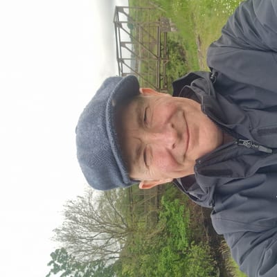
“Every drone pilot on this network is personally vetted by me — insurance, qualifications, flight history.”
Peter Leslie · Founder & GVC Drone Pilot
Trusted by site managers & agencies across the UK
Need a Kent drone survey?
Post your project details to receive quotes from our Kent drone operators.