Specialist Services
Drone Water Quality Assessment
Multispectral and thermal drone sensors monitor water quality parameters across lakes, rivers, reservoirs, and coastal waters. Detect algal blooms, pollution events, turbidity patterns, and temperature anomalies rapidly and cost-effectively.
Avg Response within 5 Mins • Or call +44 1334 804554
What is Drone Water Quality Assessment?
Drone water quality assessment employs multispectral, hyperspectral, and thermal sensors mounted on professional UAVs to analyse water body conditions from above. These sensors detect spectral signatures associated with chlorophyll concentrations, suspended sediment, dissolved organic matter, surface temperature variations, and other indicators of water quality.
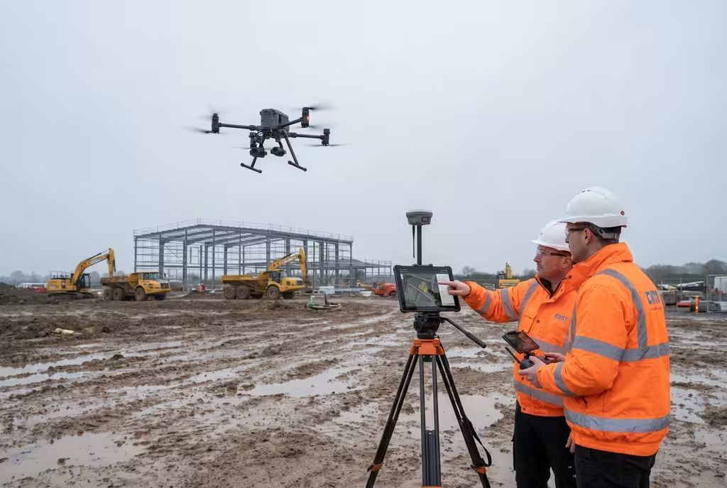
At Hire Drone Pilot, we deploy calibrated sensor platforms capable of mapping water quality parameters across entire water bodies in a single flight. This provides spatial coverage impossible to achieve with traditional point-sampling methods, revealing patterns of contamination, algal growth, and thermal stratification that discrete water samples would miss entirely.

Peter Leslie
Owner & Drone Pilot
"Have questions about water quality monitoring? Ring me directly - I'm happy to discuss your project requirements."
Call NowMonitor Water Health,From Above
What You'll Receive
- Water quality parameter maps
- Algal bloom distribution data
- Thermal surface mapping
- Monitoring recommendations
Delivered in 5-7 working days
Why Use HireDronePilot
- CAA certified & comprehensively insured
- Calibrated multispectral sensors
- Full spatial coverage
- Nationwide availability
Relied upon by water companies, environmental consultants & regulatory bodies throughout the UK.
Relied upon by major organisations
How Much Does Drone Water Quality Assessment Cost?
Water quality assessment pricing depends on the scope, sensor requirements, and whether the project involves a one-off survey or ongoing monitoring programme:
| Assessment Type | Guide Price |
|---|---|
| Single Water BodyOne-off assessment | £600+ |
| Multi-Site SurveyMultiple locations | £1,200+ |
| Monitoring ProgrammeQuarterly visits | £3,000/yr+ |
| Incident ResponseEmergency survey | POA |
*Guide prices encompass standard deliverables. Final quotation depends on water body size, sensor requirements, and monitoring frequency.
Factors Influencing Your Quote
- Water body size & count
- Sensor type required
- Monitoring frequency
- Laboratory validation needs
A single drone flight captures water quality data across an entire water body surface, providing thousands of measurement points compared to the handful of discrete samples achievable by traditional methods in the same timeframe.
Ready for a water quality assessment quotation?
Complimentary, no-commitment quotes within 24 hours
How Does Drone Assessment Compare to Traditional Sampling?
Traditional water quality monitoring relies on manual collection of water samples at fixed points, typically from the bank or a boat. These samples are transported to laboratories for analysis. Whilst this provides precise measurements at specific locations, it captures only a snapshot at a handful of points and misses the spatial distribution of water quality across the wider water body.
Drone-based assessment maps water quality indicators across the entire water surface simultaneously. This reveals spatial patterns, identifies pollution sources, tracks plume movements, and documents algal bloom extent in ways that point sampling simply cannot achieve.
Why Select Drone Over Traditional Sampling?
Drone Assessment
Full spatial coverage
Traditional Sampling
Point measurements only
Uncertain whether drone assessment suits your monitoring needs?
What Parameters Can Be Measured?
Drone-mounted sensors detect water quality indicators through their spectral and thermal signatures. The range of measurable parameters is expanding as sensor technology advances:
- Chlorophyll-a concentration – Quantifying algal biomass and mapping the spatial extent and intensity of algal blooms across the water surface
- Turbidity & suspended solids – Measuring water clarity and sediment load to identify erosion sources, discharge impacts, and mixing zones
- Surface temperature – Mapping thermal patterns to detect effluent discharges, cooling water plumes, and stratification boundaries
- Cyanobacteria detection – Identifying potentially toxic blue-green algae concentrations for public health risk assessment
- Dissolved organic matter – Detecting coloured dissolved organic matter indicating peat runoff, sewage inputs, or agricultural pollution
- Oil and hydrocarbon sheens – Identifying surface contamination from spills, leaks, or diffuse pollution sources
Laboratory Validation Available
We can coordinate ground-truth water sampling alongside drone flights to calibrate and validate remote sensing data.
Where Are Drone Water Assessments Used?
Drone water quality assessment serves environmental management, regulatory compliance, and operational monitoring across diverse sectors:
Water Supply Management
Monitoring drinking water reservoirs for algal blooms, turbidity events, and contamination risks affecting treatment processes.
Environmental Regulation
Supporting Water Framework Directive monitoring, ecological status assessment, and pollution incident investigation for regulators.
Pollution Investigation
Tracing pollution plumes to their source, documenting contamination extent, and monitoring remediation progress over time.
Thermal Discharge Monitoring
Mapping cooling water plumes from power stations and industrial plants to assess environmental impact on receiving waters.
Development Planning
Baseline water quality surveys for Environmental Impact Assessments, construction monitoring, and post-development compliance.
Aquaculture & Fisheries
Monitoring water conditions at fish farms, stocked fisheries, and shellfish waters to protect stock health and productivity.
Have a water quality monitoring requirement?
What Deliverables Do You Receive From Water Quality Assessment?
We tailor outputs to your monitoring objectives, but our standard water quality assessment package includes:
Water Quality Parameter Maps
Colour-coded spatial maps showing the distribution and intensity of measured parameters across the entire water body surface.
Thermal Surface Map
Calibrated temperature map showing surface water thermal patterns, discharge plumes, and stratification indicators.
Assessment Report
Professional report with findings analysis, comparison against environmental standards, trend assessment (for repeat surveys), and management recommendations.
GIS Data Layers
Georeferenced raster and vector data compatible with QGIS, ArcGIS, and other mapping platforms for integration with existing monitoring programmes.
Need specific deliverables for your monitoring programme?
How Long Does an Assessment Take?
On-site data capture is rapid. A single water body can typically be surveyed in 1-3 hours depending on size and complexity. Multi-site campaigns require additional mobilisation time. Data processing and analysis require specialist interpretation of the multispectral imagery.
| Phase | Duration |
|---|---|
| Planning & Preparation | 2-5 days |
| On-Site Data Capture | 1-4 hours |
| Data Processing | 2-3 days |
| Analysis & Reporting | 2-4 days |
| Overall (Standard) | 5-7 working days |
Emergency Response Available
Pollution incident? We offer rapid-response deployment and accelerated reporting for time-critical environmental events.
How Do I Select a Water Quality Assessment Provider?
Drone water quality assessment requires specialist sensor equipment and environmental science expertise. When evaluating providers, examine these essential criteria:
- Multispectral sensor capability – Verify they operate calibrated sensors with appropriate spectral bands for your target parameters
- Environmental expertise – Ensure qualified environmental scientists interpret the data, not just drone operators
- CAA certification – Confirm valid commercial drone permissions and insurance for operations over water
- Calibration and validation – Ask about ground-truth sampling procedures and sensor calibration protocols
- Monitoring programme experience – For ongoing monitoring, request evidence of repeat survey and trend analysis capabilities
Ready to work with a specialist water quality assessment provider?
Benefits of Aerial Water Quality Monitoring
Drone-based water quality monitoring offers transformative advantages over traditional approaches. The combination of spatial coverage, rapid deployment, and repeat survey capability creates a monitoring tool that fundamentally changes how water body health is assessed and managed.
For ongoing monitoring programmes, drone surveys establish comprehensive baselines, track seasonal changes, detect emerging problems early, and document the effectiveness of management interventions with quantified spatial data rather than isolated point measurements.
Key Advantages
- Spatial coverageEntire water body
- Data points per surveyThousands
- Deployment speedSame day possible
- Repeat survey consistencyAutomated flight paths
Traditional Limitations Overcome
- Point sampling gapsResolved
- Boat access issuesEliminated
- Laboratory wait timesReduced
- Spatial pattern blindnessResolved
Ready to Monitor Your Water Bodies?
Specialist guidance • Tailored pricing • Avg Response within 5 Mins

Peter Leslie
Owner & Drone Pilot
With extensive experience in environmental drone surveys, Peter coordinates every water quality project to ensure accurate sensor data and meaningful interpretation you can rely on.
Quick Guide: Water Quality Assessment
Assessment Deliverables
- Water quality parameter maps
- Thermal surface mapping
- Algal bloom distribution data
- Assessment report
- GIS data layers
- Monitoring recommendations
Talk Through Your Project
Obtain specialist guidance and tailored pricing.
Drone Pilot Reviews
Why Drone Pilots Rate HireDronePilot 5 Stars
Don't just take our word for it. Here's what drone pilots in our UK network say about getting work through the platform.
“I get relevant commercial briefs with clear scopes, so quoting is fast and accurate. It has helped me win consistent survey work without chasing low-quality leads.”
Adam Carter
Drone Pilot
“Since joining the platform, I have filled gaps in my schedule with quality roof and inspection jobs. The enquiry details are much better than generic lead forms.”
Sophie Bennett
Drone Pilot
“HireDronePilot makes it easier to focus on delivery. I can review project briefs quickly, submit competitive quotes, and pick up work in new regions.”
Daniel Khan
Drone Pilot
Complementary Services
Sonar Survey
Drone-deployed sonar for underwater mapping, bathymetric profiling, and submerged object detection.
Environmental Survey
Comprehensive environmental monitoring and habitat mapping using specialist drone sensors.
Coastal Survey
Shoreline mapping, erosion monitoring, and coastal change analysis using drone photogrammetry.