Sell Properties Faster and Get More Online Views
Drone Real Estate Photography
Professional aerial photography that showcases properties at their best. Get competitive quotes from certified pilots who specialize in real estate marketing.


32% Faster Sales
With aerial images
403% More Views
On property listings
What Is Real Estate Drone Photography?
Real estate drone photography captures stunning aerial views that showcase properties from perspectives impossible with traditional photography. It's the proven marketing tool that helps properties stand out and sell faster.
Showcase Property Scale
Display the full property, grounds, and neighborhood context buyers want to see
Increase Listing Views
Industry studies show aerial images can generate up to 403% more views
Premium Marketing Edge
Stand out from competition with magazine-quality aerial imagery
.webp&w=3840&q=75&dpl=dpl_26REbpitH5FtBnFHJkWoYMTvr5F2)
Professional aerial photography that transforms property listings and accelerates sales
How It Works
Get Property Photography in 3 Simple Steps
Fast, professional service designed for real estate agents and property developers. MLS-ready images delivered quickly.
Submit Property Details
Property address, type, special features to highlight. Preferred shoot date and MLS deadline.
Compare Real Estate Specialist Quotes
Review portfolios from pilots who specialize in property photography. See sample work and pricing.
MLS-Ready Images Delivered
Edited images, typically delivered in 24-48 hours. Multiple formats for MLS, websites, and print marketing.

Why Real Estate Professionals Choose Us
Real Estate Photography Specialists
Our pilots understand real estate marketing. They know how to capture curb appeal, highlight features, and create images that sell.
Fast MLS-Ready Delivery
Fast turnaround for new listings. Images edited and formatted for MLS, property websites, and social media marketing.
Drive Faster Sales
Leverage a tool shown to help properties sell up to 32% faster, with more online views.
Volume Discounts for Agents
Special rates for real estate agents with multiple listings. Build relationships with trusted pilots for consistent quality.
Property Types
Real Estate Photography Services
Specialized aerial photography for every type of property listing

Real Estate Impact
The Power of Professional Property Photography:
Property Photography Portfolio
See the quality of work from our network of real estate photography specialists
Luxury Estates
Showcase expansive grounds, swimming pools, and architectural details that command premium prices.
New Developments
Market off-plan properties with stunning aerial visualizations of the development and location.

Commercial Buildings
Highlight parking facilities, transport links, and the property's strategic location.
Rural Properties
Capture extensive land, outbuildings, and the property's relationship to the landscape.

Waterfront Properties
Showcase water access, views, and the unique lifestyle waterfront properties offer.
Twilight Photography
Create emotional appeal with golden hour and blue hour shots that make properties glow.
Complete Real Estate Photography Package Includes
MLS-Ready Images
Properly formatted and sized for all major listing platforms
Virtual Tour Options
360° images ready for Matterport and virtual tour platforms
Neighborhood Context
Show proximity to schools, transport, and local amenities
Twilight Options
Golden hour photography for maximum emotional impact
Fast Turnaround
24-48 hour delivery for urgent listings
Agent Branding
Option to include your branding on marketing materials

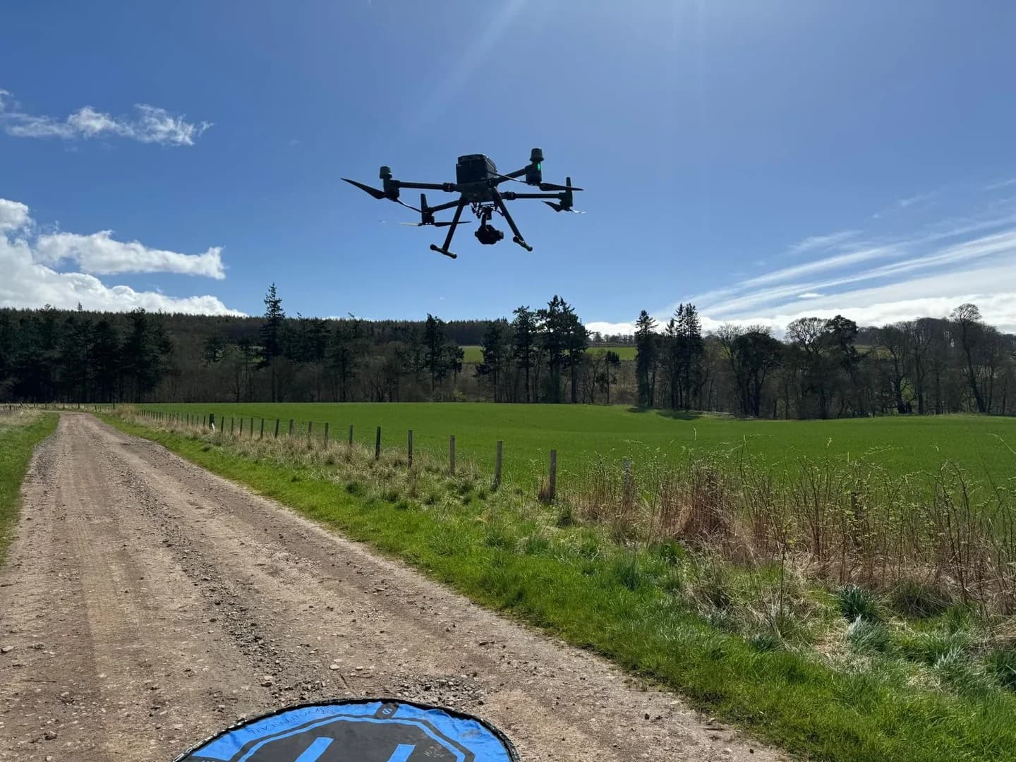
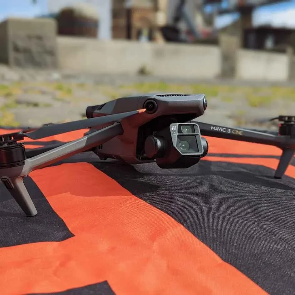
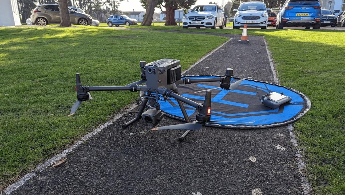
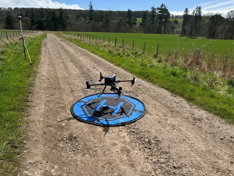
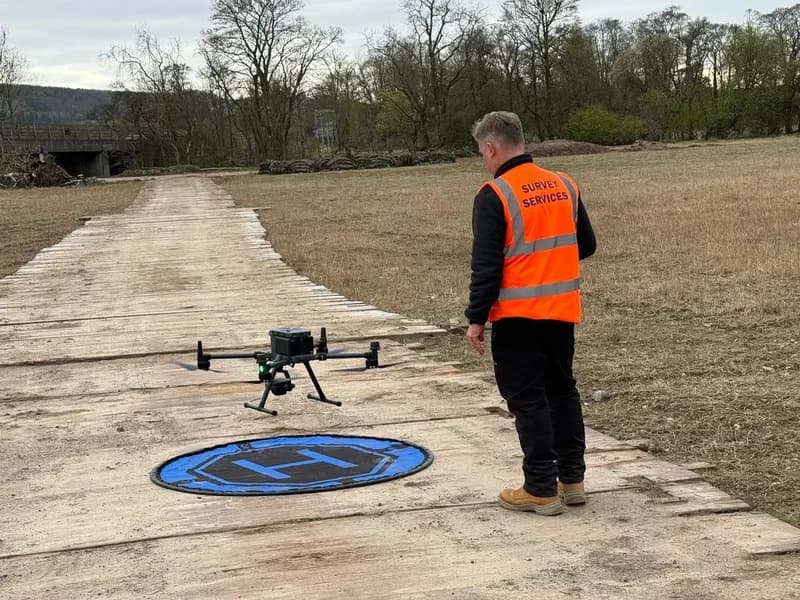
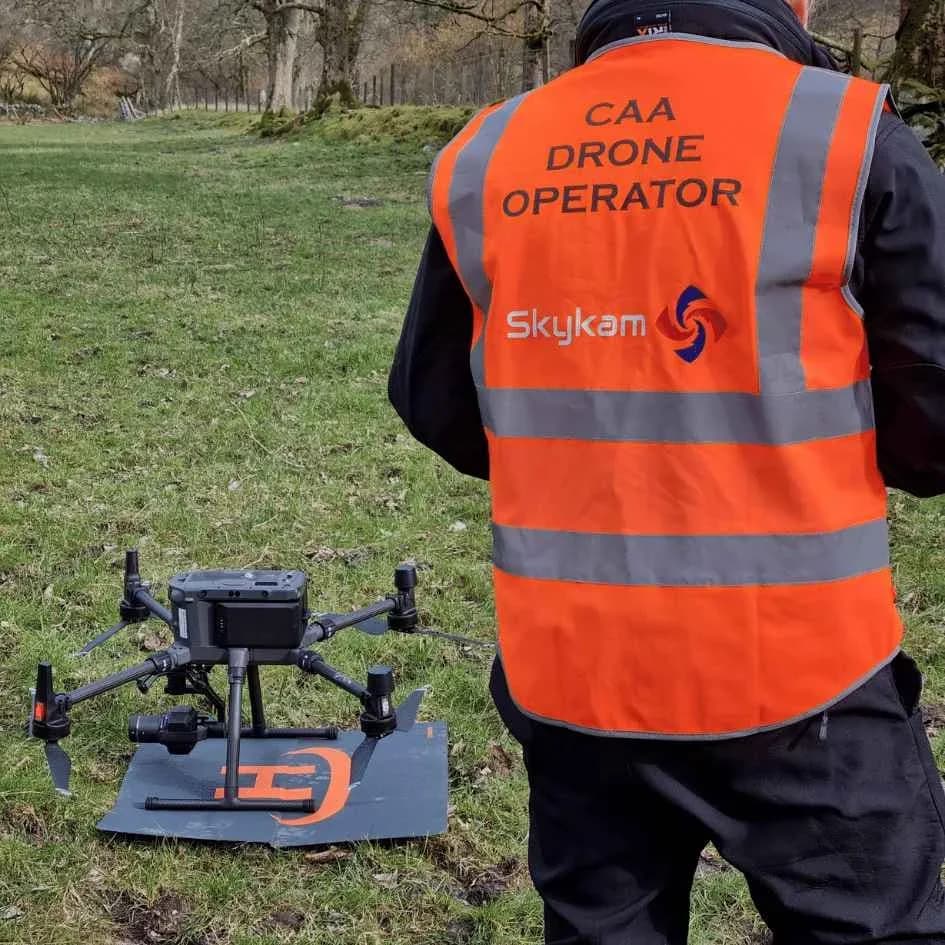
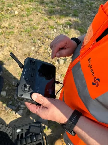
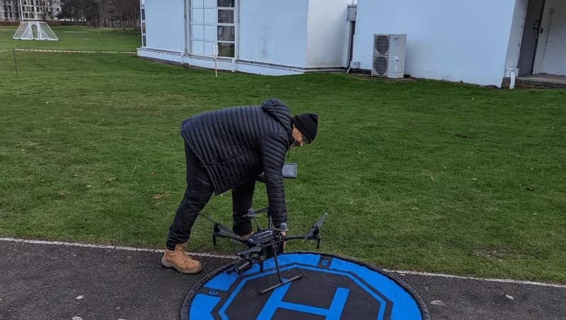
Professional equipment that captures properties in stunning detail
Equipment Built for Real Estate
High-Resolution Professional Sensors
Crystal clear images that showcase every architectural detail. Perfect for large format print marketing and billboards.
HDR & AEB Modes
Perfectly exposed images even in challenging lighting. Capture both bright skies and shadowed features in one shot.
360° Virtual Tour Ready
Create immersive property tours that let buyers explore from anywhere. Compatible with all major virtual tour platforms.
Quick Setup & Capture
Efficient photography sessions mean minimal disruption. Efficient on-site photography sessions.
Real Estate Photography Questions
Everything agents and property professionals need to know
Most pilots offer 24-48 hour turnaround from shoot to delivery. Rush same-day service available for urgent listings. We prioritize real estate professionals who need quick results.
Yes. All images are delivered in MLS-required formats and resolutions. Pilots provide both high-res for print and web-optimized versions for online listings.
Absolutely. Twilight shoots create stunning marketing images that make properties stand out. Most pilots offer golden hour and blue hour photography options.
Yes. Packages include property boundaries, neighborhood context, nearby amenities, and approach routes - everything buyers want to see.
Pilots provide 360° panoramas and images formatted for virtual tour platforms like Matterport. Perfect for remote viewing and international buyers.
Volume discounts available for agents with multiple listings. Book entire developments or portfolio shoots with preferential rates and scheduling.