


What Is Drone LiDAR Mapping?
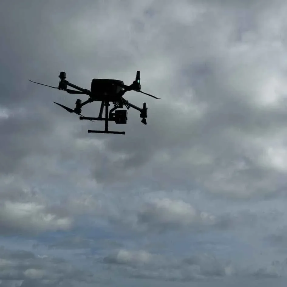
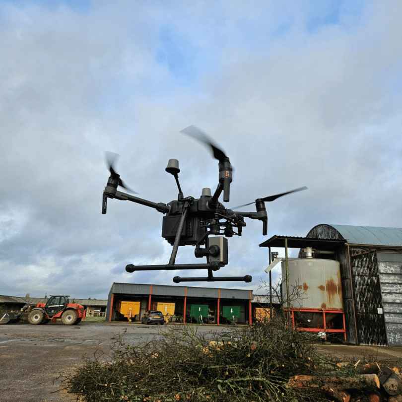
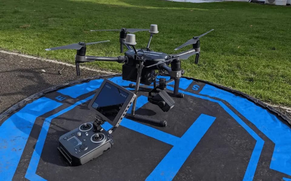
Drone LiDAR mapping is laser-powered 3D scanning using UAVs that sees through vegetation to create precise terrain models.
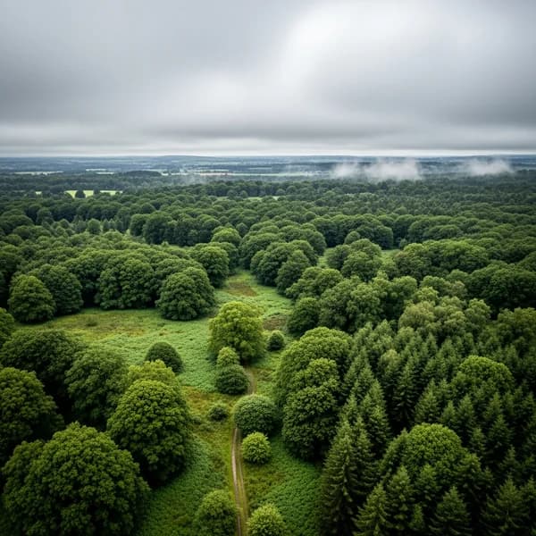
Using millions of laser pulses per second, drone-mounted LiDAR sensors penetrate tree canopies and capture ground surfaces invisible to cameras. The result? Centimeter-accurate 3D models perfect for engineering, forestry, and archaeological surveys.
Vegetation Penetration
Maps ground beneath dense forest canopy
High Accuracy
Centimetre-level precision is achievable
Works in Low Light
Active sensor operates day or night
LiDAR technology penetrates vegetation to reveal detailed ground topology
How It Works
Get Drone LiDAR Quotes in 3 Simple Steps
Professional project management from start to finish. See how we handle everything while you focus on your business.
Describe Your Survey Area
Site boundaries, deliverable requirements, detail level needed, coordinate system preferences. Technical team assists if needed.
Compare LiDAR Specialist Quotes
Only LiDAR-equipped drone pilots see your project. Compare experience, equipment, and processing capabilities.
End-to-End Coordination
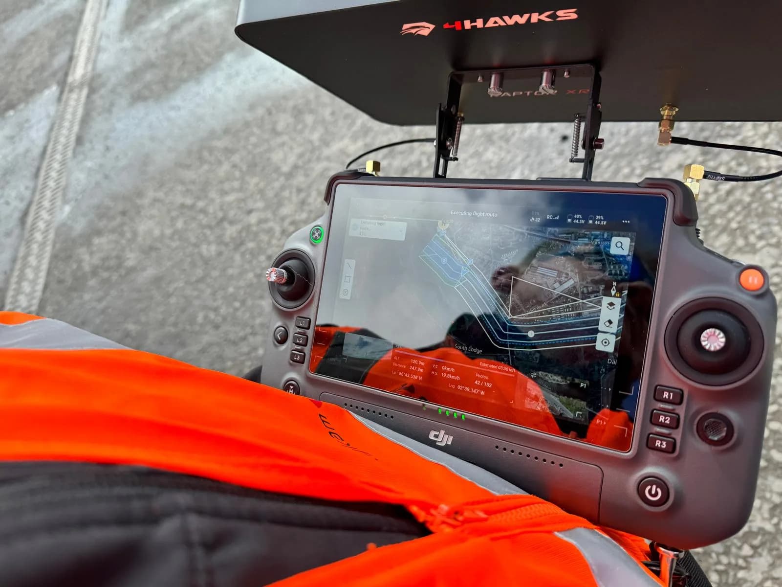
From flight planning to data processing coordination, we oversee the entire survey process.
Why Choose Our Drone LiDAR Service
Verified LiDAR Specialists
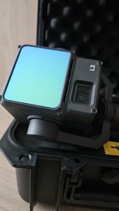
Pilots must demonstrate ownership of professional LiDAR sensors. No photogrammetry substitutes accepted.
Professional Processing
Experienced operators who understand point cloud processing, classification, and deliverable creation.
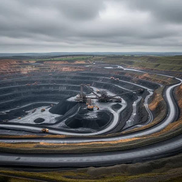
Vegetation Penetration Capability
True ground surface mapping through tree canopy for forestry, archaeology, and terrain modeling.
Industry-Standard Outputs
LAS/LAZ point clouds, DTM/DSM models, contour maps for use in all major CAD/GIS software.
Specialist Services
Professional LiDAR Mapping Services
From engineering drone surveys to environmental monitoring, our specialists deliver precision data for every application
Topographical Surveying
High-precision terrain mapping for engineering, construction, and development projects.
- Dense point cloud capture
- Ground classification
- Contour generation
- Digital terrain models

LiDAR Mapping Statistics
Typical Capabilities of Professional LiDAR Systems
Detailed capture
professional grade
comprehensive coverage
extensive sites
Through vegetation
ground detection
LiDAR Capabilities & Applications
Professional LiDAR systems deliver data impossible to capture with traditional methods or photogrammetry.
Dense Vegetation Mapping
LiDAR pulses penetrate forest canopy to map ground surface beneath, essential for woodland surveys.
Volume Calculations
Precise stockpile volumes, earthwork quantities, and cut/fill analysis from dense point clouds.

Archaeological Surveys
Reveal hidden features under vegetation - ancient settlements, earthworks, and historical sites.
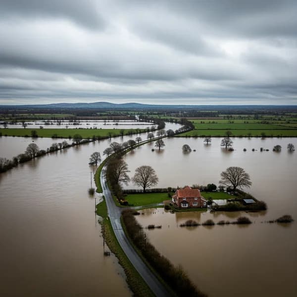
Flood Modeling
Accurate terrain models for hydrological analysis, flood risk assessment, and drainage planning.
Power Line Surveys
Vegetation encroachment, conductor sag, and tower lean analysis for utility management.
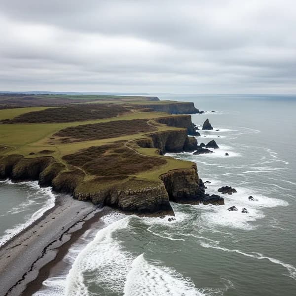
Coastal Monitoring
Erosion tracking, beach profiling, and cliff stability assessment with repeat surveys.
Available LiDAR Deliverables:
Point Cloud Data
Dense 3D point clouds in LAS/LAZ format
Classification Options
Ground, vegetation, buildings, and other features
Digital Models
DTM, DSM, and CHM generation as required
Contour Mapping
Topographical contours at specified intervals
Quality Documentation
Metadata and accuracy reports
Multiple Formats
Compatible with your preferred software


Professional-grade LiDAR systems and processing capabilities
Professional LiDAR Deliverables
Point Cloud Processing
Classified point clouds with ground, vegetation, and structure separation. Ready for analysis in your preferred software.
Digital Terrain Models
High-resolution DTM and DSM creation from processed point clouds. CAD and GIS-ready formats.
Specialized Analysis (Options Available)
Volume calculations, cross-sections, slope analysis, and other derivatives based on your requirements.
Workflow Integration
Data is formatted for straightforward use in your existing workflows and software systems.
Common Questions About Drone LiDAR Mapping
Everything you need to know about our professional LiDAR survey service
What's the difference between LiDAR and photogrammetry?
LiDAR uses laser pulses to directly measure distances and penetrates vegetation. Photogrammetry creates models from photographs but cannot see through trees.
What accuracy is typical?
Accuracy varies with equipment, flying height, and ground control. Professional systems achieve high precision with appropriate methodology.
Can LiDAR work in all conditions?
Light rain acceptable, even beneficial. Cannot operate in heavy rain, dense fog, or extreme winds. Night operations possible.
What file formats are available?
Standard formats include LAS/LAZ point clouds, GeoTIFF rasters, DXF/SHP contours. Most CAD/GIS formats supported.
How much area can be covered?
Coverage depends on point density requirements, terrain complexity, and site accessibility. Typically 100-300 hectares per day.
Why is LiDAR more expensive?
Equipment costs £30k-100k+, requires specialist training, extensive processing time, and powerful computing resources.