Drone Survey
Comprehensive aerial surveys delivering precise topographic data and 3D models across York.
Drone Drone SurveyYork's Trusted Drone Survey Specialists
Expert drone survey services across York and North Yorkshire. CAA-approved drone operators delivering precision aerial data for heritage, construction, university, and rail projects throughout the historic city.
Avg Response within 5 Mins • Or call +44 1334 804554
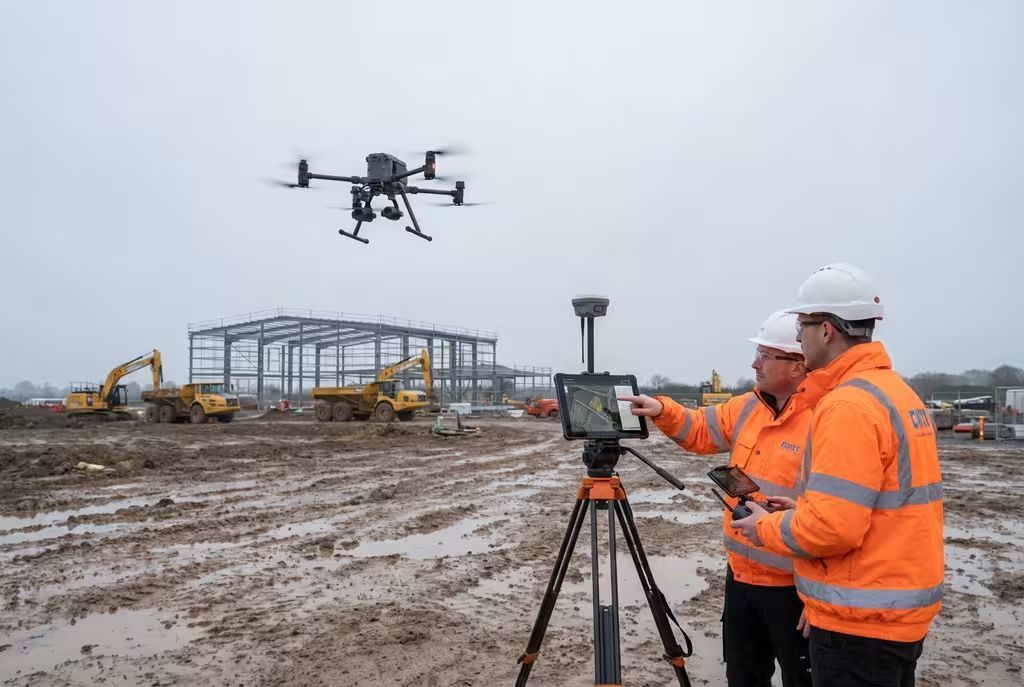
York Drone Survey Experts
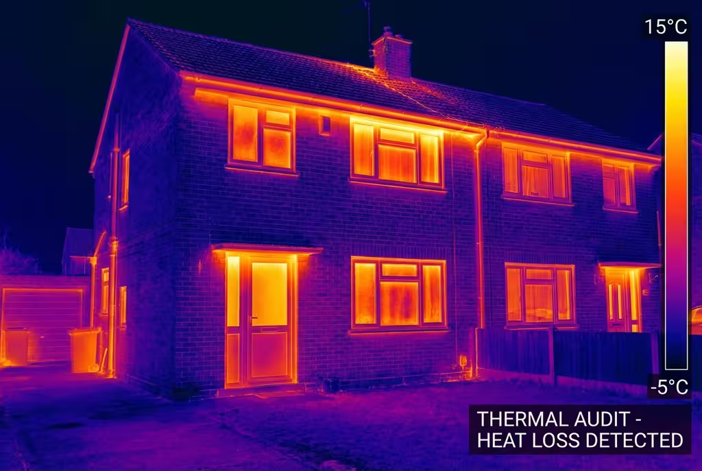
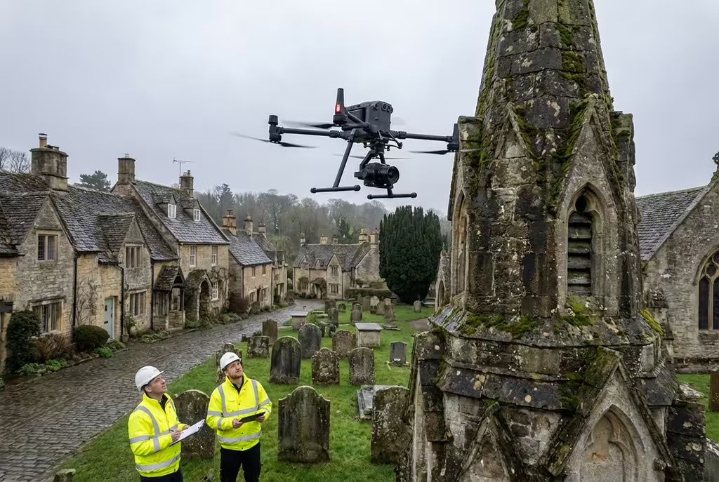
Flying drones in York requires specialist knowledge. The city's rich heritage, conservation areas, and sensitive historic sites mean you need drone operators who understand the complexities involved.
We're different. Our team combines CAA-certified drone pilots with heritage site expertise and enterprise-grade equipment. Every York project we deliver is fully compliant and professional.
Heritage Site Experts
Historic buildings & conservation areas
Enterprise Equipment
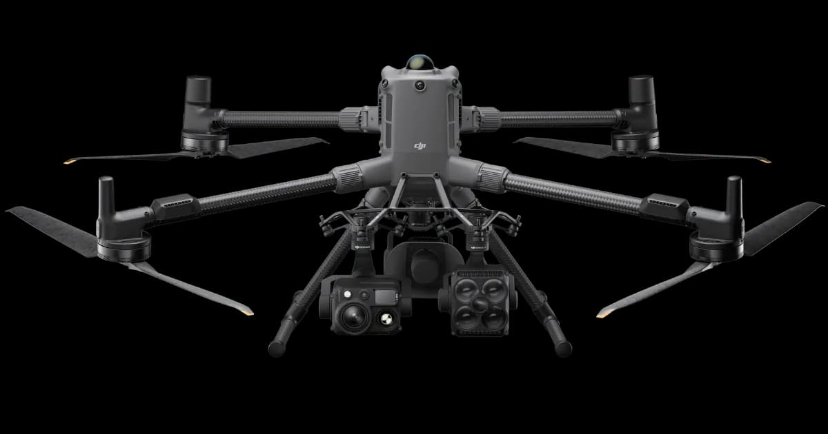
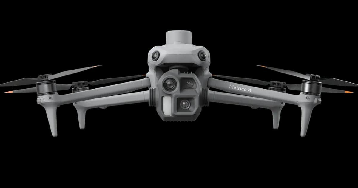
Matrice 300/350, LiDAR, multispectral
Rapid York Response
24-48 hour mobilisation available
Survey-Grade GPS
RTK/PPK positioning for ±2cm accuracy
Submit once and receive competitive quotes from independent drone pilots.
Trusted by leading organisations:
200+
Yorkshire Projects
York Coverage
Hire Drone Pilot provides professional aerial survey solutions across York and North Yorkshire. From historic city centre sites to university campus projects, we have the expertise and permissions to operate anywhere.
Our team of CAA-certified drone pilots and qualified surveyors have completed hundreds of projects across Yorkshire, from York Minster to rural estates, railway infrastructure to industrial facilities.
±2cm
Survey Accuracy
50+
Heritage Sites
24hr
Response Time
Comprehensive aerial survey solutions for York projects, delivered with precision and professionalism.
As Featured In
Our expertise in professional drone surveying has been featured across national news and industry publications. Our work has been cited in research by Harvard University and the Scottish Government.
Cited in academic research: Harvard University • Scottish Government
Drone Pilot Network Capabilities
From one form, access independent drone pilots equipped with high-performance platforms and specialist payloads for complex UK projects.
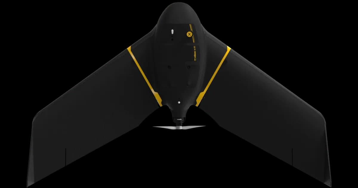
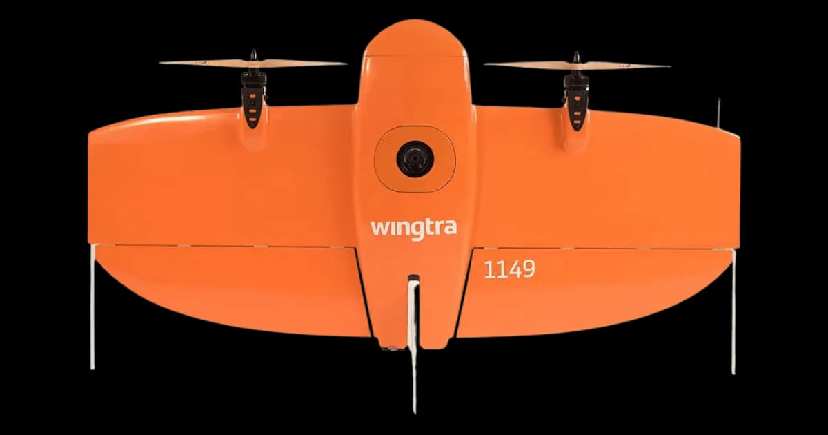
Professional fixed-wing for rapid terrain coverage
Engineered for excellence, designed for versatility
Best-in-class surveying efficiency for large projects
Professional multi-payload platform for precision surveying
Portable surveying powerhouse with RTK precision
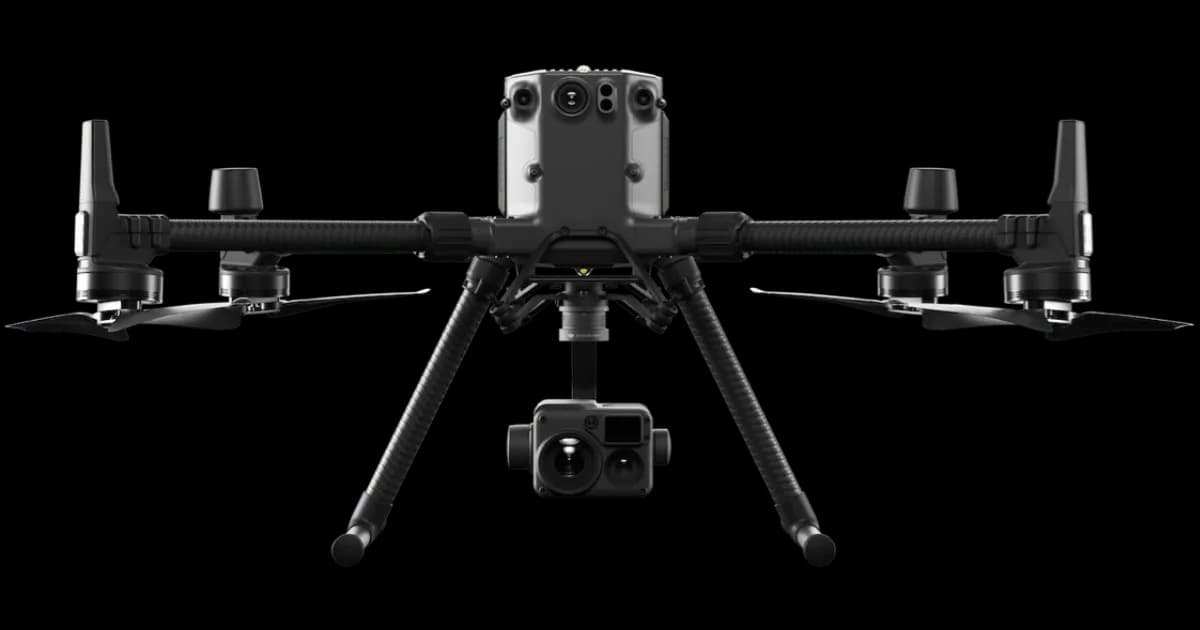
Industry-leading inspection and mapping platform
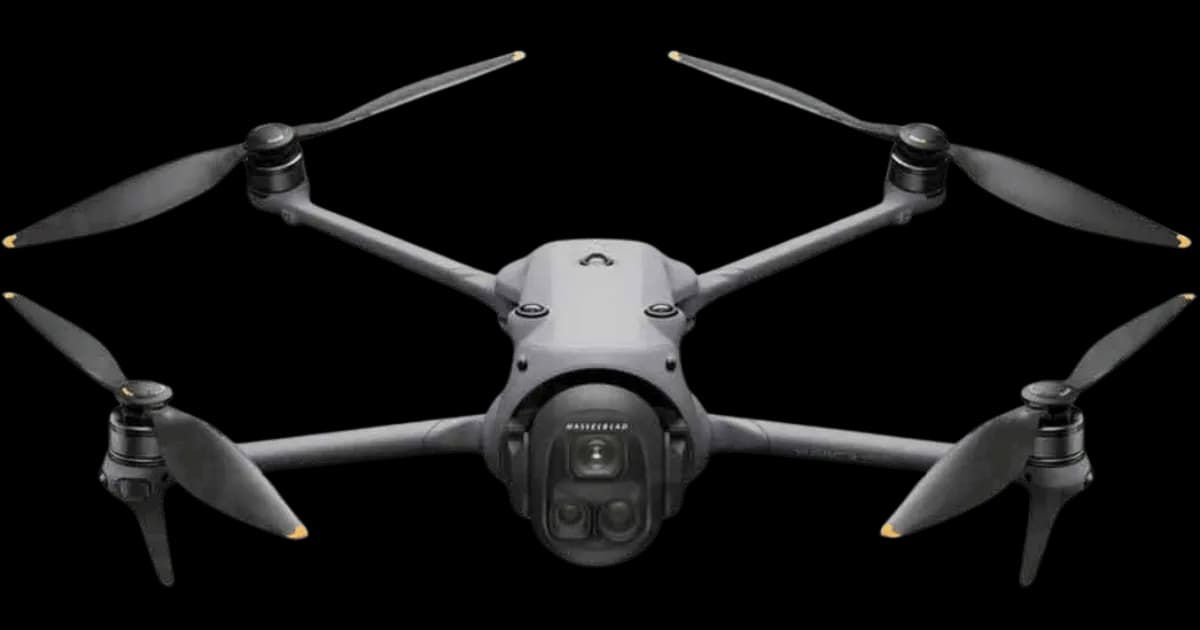
Precision survey drone with oblique capture
1 of 7
← Swipe to explore fleet →
Why Use HireDronePilot
Post one brief and compare quotes from independent drone pilots for your project.
Compare quotes from independent drone pilots matched to your project scope, location, and timeline.
Compare direct quotes from drone pilots with transparent pricing and no platform cut added.
Share one brief and review pricing, availability, and fit in one place instead of contacting operators one by one.
Ready to compare independent drone pilot quotes?
Drone Pilot Reviews
Don't just take our word for it. Here's what drone pilots in our UK network say about getting work through the platform.
“I get relevant commercial briefs with clear scopes, so quoting is fast and accurate. It has helped me win consistent survey work without chasing low-quality leads.”
Adam Carter
Drone Pilot
“Since joining the platform, I have filled gaps in my schedule with quality roof and inspection jobs. The enquiry details are much better than generic lead forms.”
Sophie Bennett
Drone Pilot
“HireDronePilot makes it easier to focus on delivery. I can review project briefs quickly, submit competitive quotes, and pick up work in new regions.”
Daniel Khan
Drone Pilot
From initial consultation to final delivery, our streamlined process ensures efficient and accurate results for your York project.
We discuss your York project requirements and objectives to determine the best survey approach. Our experts will recommend the optimal drone technology and data outputs for your specific needs.
We discuss your York project requirements and objectives to determine the best survey approach. Our experts will recommend the optimal drone technology and data outputs for your specific needs.
Our team plans the flight path, obtains necessary airspace permissions, and prepares all equipment. We handle all CAA regulations, heritage site considerations, and site-specific risk assessments.
Our team plans the flight path, obtains necessary airspace permissions, and prepares all equipment. We handle all CAA regulations, heritage site considerations, and site-specific risk assessments.
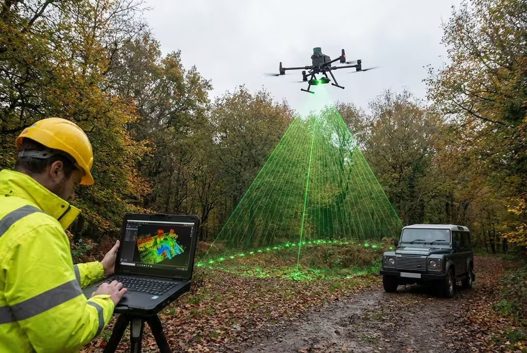
Our CAA-authorised independent drone pilots capture high-quality aerial data across York using professional drone equipment. Survey-grade accuracy is achieved through RTK GPS and ground control points.
Our CAA-authorised independent drone pilots capture high-quality aerial data across York using professional drone equipment. Survey-grade accuracy is achieved through RTK GPS and ground control points.
Raw data is processed using industry-leading software to create accurate deliverables. Photogrammetry, LiDAR processing, and quality checks ensure precision results.
Raw data is processed using industry-leading software to create accurate deliverables. Photogrammetry, LiDAR processing, and quality checks ensure precision results.
You receive comprehensive reports, maps, and models in your preferred formats. We provide full support to help you integrate the data into your existing workflows.
You receive comprehensive reports, maps, and models in your preferred formats. We provide full support to help you integrate the data into your existing workflows.
Ready to start your York project?
We deliver tailored drone survey solutions across York's key industries.
York Minster, city walls, listed buildings, conservation areas
Hotels, visitor attractions, historic sites documentation
Network Rail, York Station, railway infrastructure surveys
University of York, York St John, campus developments
Nestle, chocolate industry, industrial site surveys
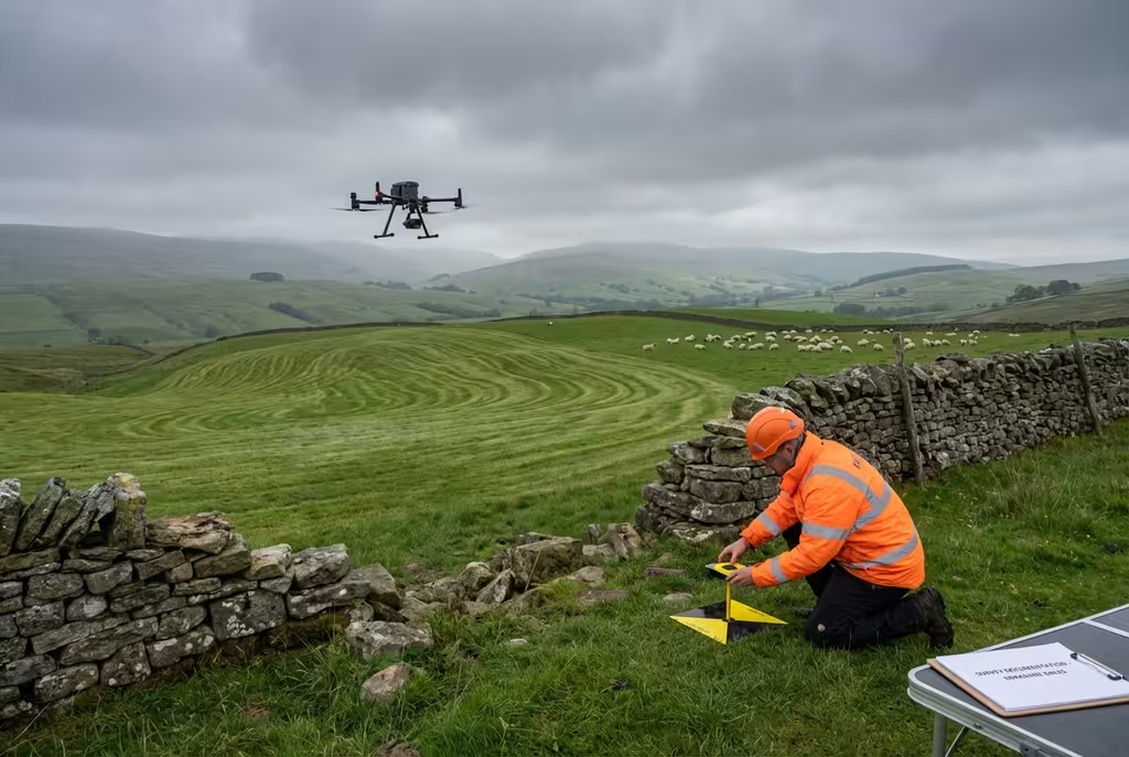
North Yorkshire farmland, rural estates, land management
Get a free, no-obligation quote for your York drone survey. Our team responds within 5 mins on average.
See how drone survey technology compares to conventional survey methods for York projects.
We provide professional drone survey services across York city centre and the wider North Yorkshire region. No location is too challenging.
Trusted & Certified
Maintaining the highest standards of safety, quality, and compliance for all York drone operations.
Public Liability Cover
Comprehensive public liability insurance providing complete peace of mind for all York drone operations.
CAA Approved
Fully approved for commercial drone operations across York and North Yorkshire with full regulatory compliance.
PI Insurance
Full professional indemnity coverage protecting your York project investments and deliverables.
Our Certifications & Memberships


Find answers to common questions about our drone survey services in York.
Yes, we hold the necessary CAA permissions and can coordinate flights near York's historic sites including York Minster, the city walls, and other heritage locations. We work closely with Historic England and local authorities to ensure all flights are conducted safely and with appropriate permissions. Our expertise in heritage site surveys means we understand the sensitivities involved.
York drone survey costs vary based on site size, complexity, heritage considerations, and deliverables needed. As a guide, small site surveys in York start from around £500, while larger commercial or heritage projects are priced per hectare. Contact us for a free, no-obligation quote tailored to your specific York project.
We can typically mobilise for York projects within 24-48 hours for urgent requirements. Our experienced team is well-versed in obtaining rapid permissions when needed. For planned projects, particularly those involving heritage sites, we recommend 1-2 weeks notice to ensure all permissions are in place.
Yes, heritage building surveys are one of our specialities. We have extensive experience documenting historic structures throughout York and North Yorkshire. Our surveys can support conservation work, planning applications, condition assessments, and archaeological investigations. We use techniques specifically suited to sensitive heritage environments.
We've completed numerous projects across York including heritage building documentation, university campus surveys, railway infrastructure inspections, and topographic surveys for planning applications. Our experience covers everything from medieval structures to modern industrial facilities.
Our York drone surveys achieve accuracies of ±2-5cm when using ground control points (GCPs). For projects requiring higher precision, we can achieve sub-centimeter accuracy using RTK-enabled drones and post-processing techniques. All surveys meet RICS and industry standards.
We provide drone survey services across York and the wider North Yorkshire region. This includes all York suburbs, surrounding villages, and rural areas. From Clifton to Fulford, Acomb to Heworth, and out to Selby, Harrogate, and beyond. No location is too challenging for our experienced team.
We provide orthomosaic maps, digital elevation models (DEMs), 3D point clouds, textured 3D models, contour maps, volumetric calculations, and detailed survey reports. All deliverables are provided in industry-standard formats compatible with CAD, GIS, and BIM software.
Ready to discuss your York drone survey requirements? Complete the form and our team will get back to you within 5 mins on average with a tailored quote for your project.
Submit once and receive competitive quotes from independent drone pilots.