
The truth is, becoming a successful drone surveyor has very little to do with flying a drone and everything to do with delivering mathematically verifiable data—a lesson I learned quickly after getting my GVC drone pilot licence and starting my own survey business.
This means mastering concepts like Ground Sample Distance (GSD), knowing why a mechanical shutter is non-negotiable for preventing image warping, and understanding the precise workflow for using Ground Control Points (GCPs) and an RTK base station to prove your data's accuracy to a skeptical client.
Whether you're a traditional surveyor looking to adopt aerial methods or a drone pilot aiming to break into this lucrative sector—competing with the many established traditional survey firms that have already brought drones in-house—this guide provides a professional's roadmap to building a career on a foundation of data integrity, not just flight skills.
Key Takeaways
- 1Obtain required UK certifications including GVC, theory exam, operations manual submission, and registration as a drone operator
- 2Secure Operational Authorisation for professional surveying in congested areas and near structures
- 3Invest in high-accuracy equipment like drones with RTK/PPK GPS systems and high-resolution cameras with mechanical shutters
- 4Build a diverse portfolio showcasing different survey types, accuracy, techniques, and data visualizations
- 5Target promising sectors including construction, agriculture, environmental management, government agencies, and conservation groups
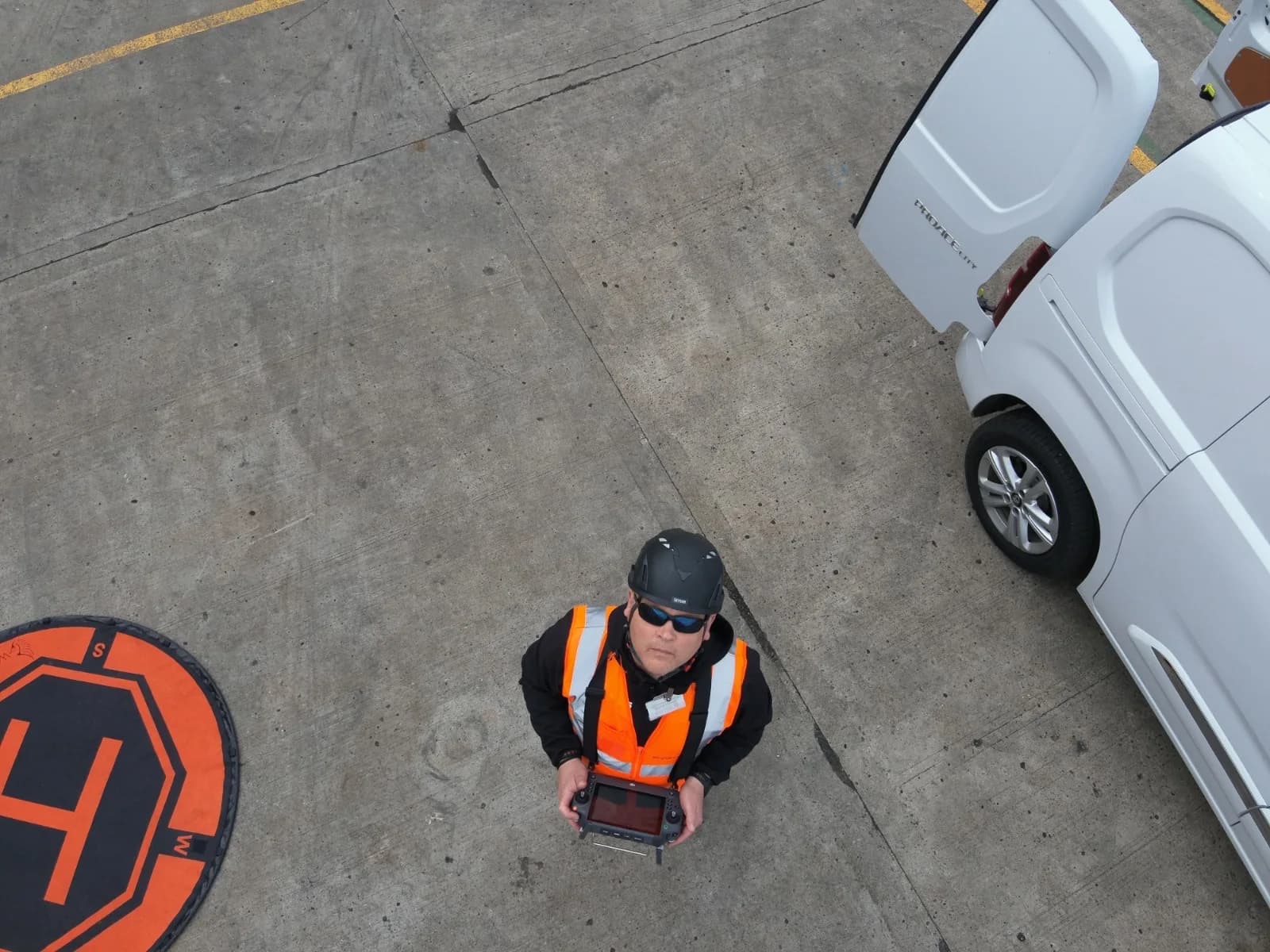
Become A Certified Drone Surveyor and Legal in the UK
Drone surveyors in the UK must hold the correct Civil Aviation Authority (CAA) certifications
Before you can operate a drone for professional surveying in the UK, you must obtain the proper drone qualifications from the Civil Aviation Authority (CAA). The primary qualification you'll need is the General Visual Line of Sight Certificate (GVC).
To earn your GVC, you'll need to complete a theory course, pass an exam, and submit an operations manual.
I found that creating my operations manual wasn't just a box-ticking exercise; it genuinely forced me to think through every possible on-site scenario. But let's be clear: this license is simply the ticket to the game. It doesn’t make you a surveyor, it just makes you a legal drone operator.
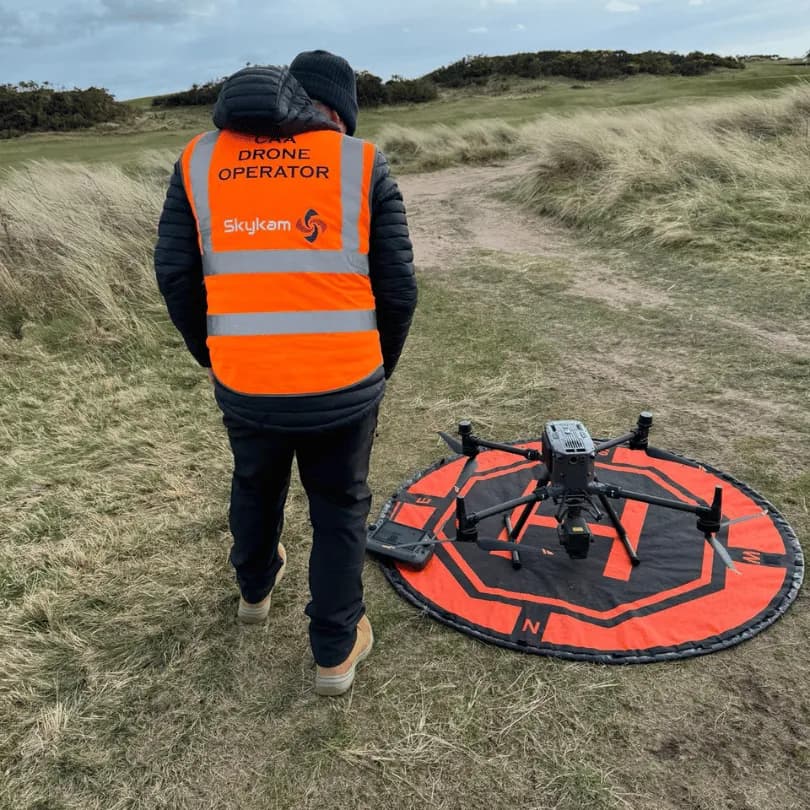
Professional drone surveying often requires an Operational Authorisation from the CAA
For most professional projects, you will need an Operational Authorisation from the CAA. This document allows you to fly in the complex environments where real survey work happens—near buildings, infrastructure, and people.
Don't underestimate this step. My Operational Authorisation is what legally separates me from hobbyists and gives clients the confidence to hire me for complex jobs. It’s a foundational piece of proving your professionalism.
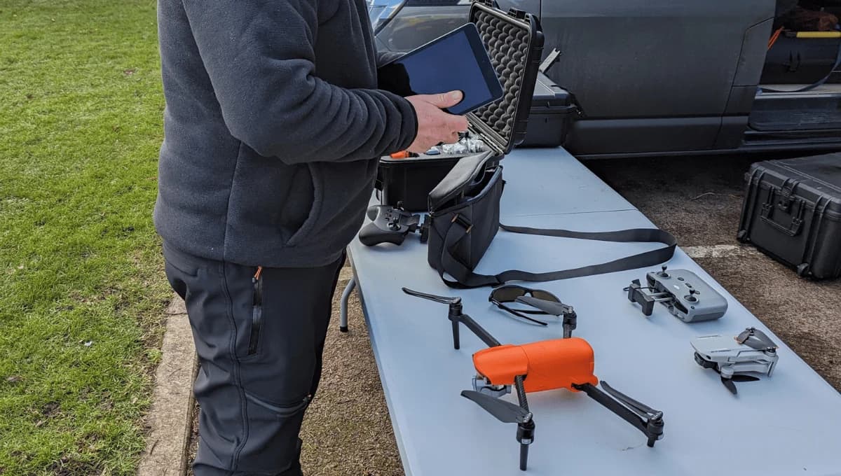
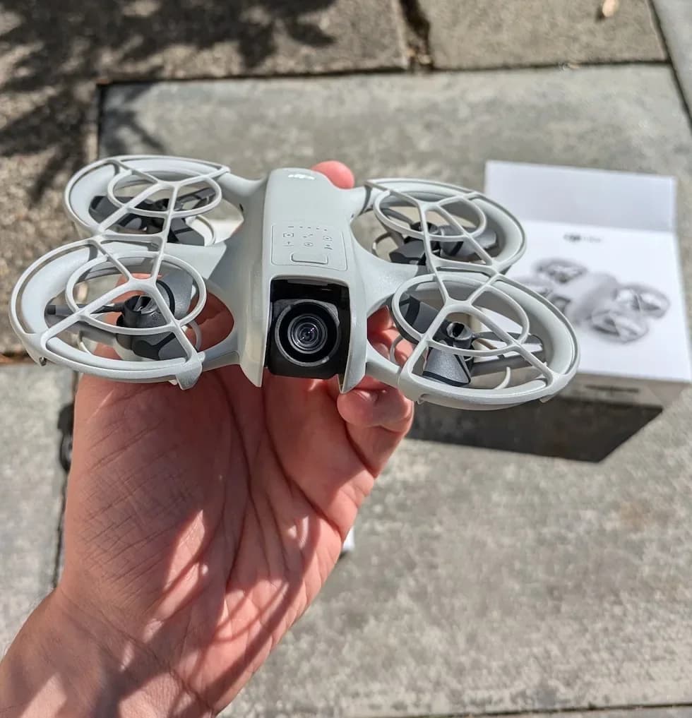
High-accuracy drones with mapping software are essential for quality surveys
This is where many newcomers get it wrong. Buying a high-end drone doesn't make you a surveyor. The drone is only one part of a system designed for precision.
Professional surveying demands equipment capable of capturing highly precise spatial data, which means a drone equipped with RTK or PPK GPS systems.
Investing in a drone with an RTK system and a base station was a game-changer for me. It’s a significant upfront cost, but it pays for itself by providing the verifiable accuracy that professional clients demand.
Your camera needs a high-resolution sensor (20MP+) and, crucially, a mechanical shutter to eliminate the image distortion that renders data from many consumer drones useless for surveying. This hardware must then integrate with photogrammetric mapping software like Pix4D or Agisoft Metashape. These tools are where you transform raw images into the accurate 3D point cloud survey models and orthomosaics that clients pay for.
Component | Key Specification | Purpose in Surveying |
|---|---|---|
Drone | RTK/PPK enabled GPS | Achieves and proves centimeter-level accuracy. |
Camera | 20MP+ with mechanical shutter | Captures high-res, distortion-free images. |
Software | Pix4D, DroneDeploy, etc. | Processes images into accurate 3D models & maps. |
Batteries | High-capacity, multiple units | Ensures sufficient flight time for large sites. |
Developing Essential Drone Surveying Skills
This is the real learning curve. Beyond the drone and the license, your success hinges on your ability to plan and execute a survey properly. This is what separates a professional from a hobbyist who just takes pictures from the sky.
Technical and Analytical Proficiency
The hardest part of this job is learning how to plan a flight for the correct Ground Sample Distance (GSD) and deliver data in the format a client actually needs. It's about understanding their project and providing them with an accurate dataset, not just a folder of images.
In my experience, using Ground Control Points (GCPs) is non-negotiable for most high-accuracy jobs. It's your proof that the data is reliable. We've had to re-fly too many jobs where a client was first burned by a hobbyist who delivered a pretty but inaccurate model with no usable data. Doing it properly the first time is what builds a reputation.
Communication and Problem-Solving
Strong communication skills are essential for the initial client briefing. You need to ask the right questions to understand their accuracy requirements and what the data will be used for.
Every project comes with unique challenges, from difficult terrain to changing weather, so the ability to think critically and solve problems on-site is invaluable. I've had days where unexpected signal interference forced me to rethink my entire flight plan on the spot. Being able to adapt calmly while maintaining survey specifications is a skill you learn very quickly.
Investing in Advanced Drone Surveying Training
Once you have the basics down, levelling up your skills with specialized training is the fastest way to increase your value and earning potential. These courses move beyond flying and into the science of data capture and processing.
Foundational Surveying Courses
Before diving into complex topics, a foundational course can bridge the gap between being a drone pilot and a surveyor. They are perfect for understanding the core principles.
Course Example: Introduction to Land Surveying with Drones (UAVHub)
Price: Approx. £79
Why it's good: This is a low-cost, online entry point that covers the essential theory. It will teach you the language of surveying—GSD, GCPs, and data outputs—which is crucial before you invest in more intensive, practical training.
Advanced Photogrammetry & Mapping
These courses are hands-on and teach the end-to-end workflow, from mission planning with RTK and GCPs to processing data and delivering professional-grade results.
Course Example: Aerial Imaging Masterclass for Mapping & Surveying (Sky Revolutions)
Price: Approx. £650
Why it's good: This is an in-person masterclass aimed at existing drone operators. A course like this is invaluable because it provides practical, real-world experience. You learn not just the 'how' but also the 'why' behind complex data acquisition, ensuring the outputs are what clients need.
Specialising in LiDAR
LiDAR is a more advanced technology that can capture data through vegetation and in low light. Training is essential to understand this complex sensor and its data workflow.
Course Example: Level 4 Complete Knowledge of LiDAR Surveys (Coptrz)
Price: Approx. £247 (Excl. VAT)
Why it's good: An online course like this gives you a comprehensive theoretical understanding of LiDAR technology, comparing it to photogrammetry and exploring its specific applications. This knowledge positions you as a specialist in a high-demand, high-value area of surveying.
Building a strong portfolio through training projects helps attract clients
Your portfolio isn't about showing off nice aerial photos; it's about demonstrating your ability to deliver verifiable, survey-grade data. Start by practicing on your own property or volunteering for local community projects where you can meticulously document your process.
My first 'real' portfolio piece was a pro-bono project for a local conservation group. I treated it like a high-paying job, focusing on ground control, accuracy reports, and useful outputs. Not only did it give me fantastic data to showcase, but it also led to my first paid contract through a referral from someone who was impressed by my professional approach.
Include case studies that explain your methodology, the GSD you planned for, the accuracy you achieved, and how the data solved a specific problem for the client. This is what potential clients want to see.
Construction, agriculture, and environmental sectors frequently hire drone surveyors.
As you explore opportunities, remember that these sectors have high standards. They need data that can be integrated directly into their existing CAD and GIS workflows.
The construction industry needs precise drone topographical survey maps and verifiable volume calculations. Agricultural clients need reliable multispectral data from agricultural drone services to make financial decisions. In the environmental sector, you'll be providing datasets used to track critical changes. These clients aren't buying drone photos; they are buying data integrity.
Frequently Asked Questions
What Is the Average Salary of a Drone Surveyor?
As a drone surveyor in the UK, you can expect an average drone pilot salary between £30,000 and £50,000 annually. Your pay varies based on your experience, certifications, location, and industry specialization. In major cities or specialized sectors like large-scale construction or energy, you can command higher wages. Entry-level positions may start around £25,000, while experienced professionals with advanced skills often earn over £60,000, especially when managing teams or complex projects.
How Long Does It Take to Become Fully Qualified?
You can become a fully qualified drone surveyor in 6-12 months. You'll need your GVC, but I'd stress that completing relevant surveying, GIS, or photogrammetry courses (3-6 months) is far more critical than just logging flight hours. Your timeline may shorten if you already have surveying or aviation experience.
Do Drone Surveyors Need Liability Insurance?
Yes, you'll absolutely need liability insurance. It protects you against claims for property damage, bodily injury, or other accidents. Most professional clients will require proof of insurance before hiring you, typically with coverage ranging from £1-2 million.
Can I Operate Internationally With UK Drone Certifications?
UK drone certifications don't automatically grant you international operating rights. You'll need to comply with each country's specific regulations, which may require local certification, permits, or registration. Always research destination country requirements well in advance.
What Weather Conditions Make Drone Surveying Impossible?
You can't fly drones in strong winds (typically over 20-25 mph), heavy rain, snow, or fog. Poor visibility makes surveying impossible, while moisture can damage electronics. Extreme temperatures also affect battery life. You'll need to postpone operations during any of these conditions to protect your equipment and ensure the quality of your data.
Get Survey-Grade Drone Data You Can Depend On
Your journey to becoming a professional drone surveyor is built on certification, specialised equipment, and a deep understanding of data integrity. For businesses, the challenge is finding a drone operator who truly understands this distinction and can deliver survey-grade results.
This is precisely the problem HireDronePilot was created to solve. Our network is composed of GVC-certified drone pilots who are not just flyers, but genuine survey professionals experienced with RTK/PPK workflows, GCPs, and delivering client-ready data.
As the UK's premier managed marketplace, HireDronePilot is dedicated to connecting businesses with verified professional drone pilots for hire. We streamline drone services through competitive bidding, ensuring quality, compliance, and value for every aerial project across the United Kingdom.
To guarantee your next project is built on a foundation of accuracy, you can find the right expert for your needs at HireDronePilot.uk. Don't just hire a drone pilot; hire a professional drone surveyor and get the data you can build on.