Key Takeaways
- 1.A typical drone LiDAR survey costs between £1,200 and £3,000, with complex projects exceeding £5,000.
- 2.Site size is a key price driver, starting around £1,200 for small sites under 10 hectares.
- 3.Costs increase with difficult terrain, dense vegetation, and remote locations due to added operational complexity.
- 4.Processed outputs like CAD files add £500+, while ground control points for accuracy add approximately £600.
- 5.Additional costs can include mobilisation fees and VAT, which is often excluded from initial quotes.
You're budgeting for a drone LiDAR survey and need a clear cost estimate. In the UK, prices range from £1,000 to over £5,000, but an initial quote doesn't always tell the full story.
Project size is just the beginning; factors like terrain and vegetation play a significant role. To accurately forecast your expenses and avoid surprises, you'll need to understand what truly drives the final price and what might be hidden in the details.
Average Cost Of A Drone LiDAR Survey In UK
While drone LiDAR survey costs vary, you'll find that most UK projects typically range from £1,000 to £3,000. This price bracket covers a wide array of standard survey requirements. For a smaller, straightforward site, you can expect the cost to begin around the £1,200 mark.
It’s important to remember this is a general guideline. Your final quote isn't a one-size-fits-all figure; it's tailored specifically to your project's unique demands.
Several key factors directly influence where your project falls within this range. The physical size of your survey area is a primary cost driver. The terrain's complexity also plays a significant role; a flat, open field costs less to map than dense, hilly woodland.
Furthermore, the level of accuracy you require and the specific deliverables you request, such as a classified point cloud or a digital elevation model, will impact the price. For exceptionally large or complex sites, you may see costs exceed £5,000.
Typical Price Ranges of Drone LiDAR Survey
To understand your potential costs, you'll find that prices generally scale with the survey area's size. For a small site under 10 hectares, you're typically looking at a range of £1,200 to £2,000. As you move to medium or large sites, expect costs to increase, ranging from £1,800 to £5,000 or more.
Small sites (up to 10 hectares/25 acres): £1,200 – £2,000
For a small site of up to 10 hectares (25 acres), you'll find a basic drone LiDAR survey generally costs between £1,200 and £2,000. Some providers even set their starting price at the top of this bracket, around £1,999.
While per-hectare rates for LiDAR can range from £400 to £1,200, you don't typically see these applied directly to tiny projects. Why? Because a significant portion of the cost covers fixed operational expenses.
You're paying for mobilization, detailed flight planning, risk assessments, and the initial data processing setup. These essential tasks have a baseline cost, which is why a minimum project fee is common. This ensures you receive a professional, comprehensive survey, even for a compact area of land.
Medium sites (10-50 hectares/25-125 acres): £1,800 to £3,000
When your project site expands into the medium range of 10-50 hectares (25-125 acres), you’ll find the overall cost typically falls between £1,800 and £3,000. This price bracket reflects the increased flight time, data processing, and personnel required for the larger survey area. For instance, you can expect a typical 10-hectare site to cost between £2,600 and £3,000 when you partner with an established provider.
As your project scales up within this range, many companies add charges for each additional block of land. You'll often see this billed from £600 to £1,500 per additional 10 hectares, a rate that varies by provider. This structure helps you accurately estimate your total investment as your project’s acreage increases.
Large or complex sites (50+ hectares/125+ acres): £3,000 to £5,000+
Once your project scales beyond 50 hectares (125 acres), costs typically start at £3,000 and can easily exceed £5,000. For jobs of this magnitude, you won't find a standard price list.
Instead, providers offer pricing on application, so you’ll need to request a bespoke quote. The final cost depends heavily on your site's specific characteristics and complexity.
For example, if you're mapping long, linear routes like pipelines or roads, you should anticipate additional fees. You'll also see higher costs for sites with steep elevation changes, which demand more intricate flight planning and data capture. To get an accurate estimate, you'll need to provide your survey provider with detailed project specifications for their assessment of the site's unique challenges.
What Affects the Cost Of Drone Lidar Mapping
When you're ready to budget for a survey, you'll notice that costs aren't fixed. Your final price is influenced by several key factors, such as site characteristics, the deliverables you require, equipment accuracy, processing complexity, and seasonal vegetation. Understanding these components helps you better anticipate your potential investment.
Site characteristics
While the size of your survey area is a primary cost driver, its specific characteristics often have a more significant impact on the final price. If your site is covered in dense vegetation, we'll need to fly slower and capture more data points to penetrate the canopy and accurately map the true ground surface. This adds to both flight and processing time.
Steep, rugged terrain also complicates flight planning and can require more flight lines to ensure complete, safe coverage. Likewise, a remote or hard-to-access location increases mobilization time and expenses for our survey crew.
It's worth noting, however, that larger projects benefit from efficiency gains; doubling the survey area won't necessarily double the cost because setup and travel are already covered.
Deliverables required
The final deliverables you require from the data will have a major say in your project's total cost. If you only need the raw LiDAR point cloud, your expenses will be lower. However, most projects need more than just raw data.
You'll find that fully processed, CAD-ready outputs, detailed contour maps, precise volumetric calculations, or BIM-compatible files all increase the price. This is because they demand significant post-processing time and expertise from your survey provider.
Expect to add at least £500 to the base price for deliverables like CAD drawings and in-depth analysis. Ultimately, the more refined and analysis-ready you need the final product to be, the more you should budget for these essential post-flight services.
Equipment and accuracy
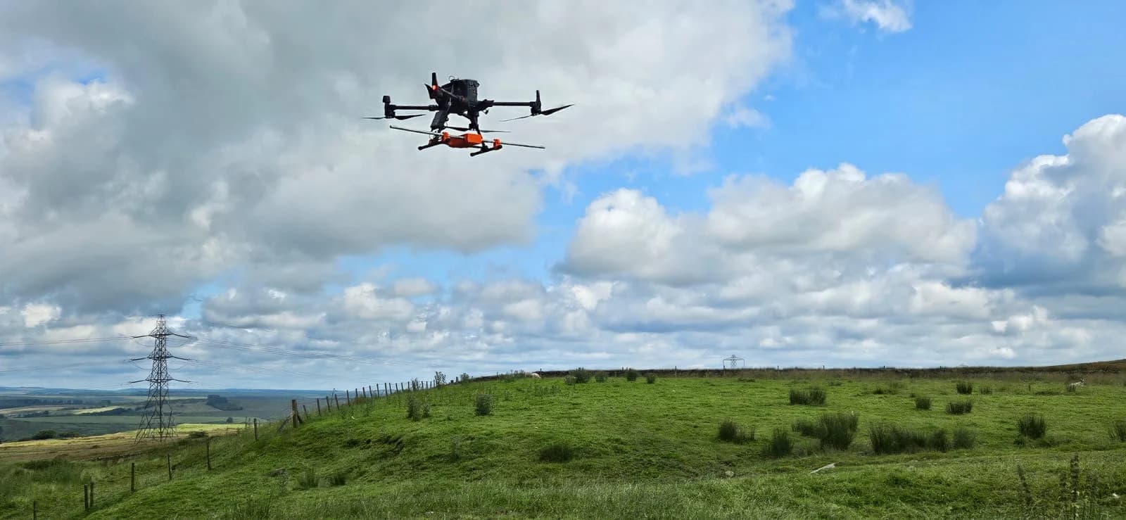
Achieving those refined deliverables means using the right survey equipment, which directly impacts your cost. If your project demands superior accuracy and reliability, you'll need a provider using high-end commercial gear. For instance, a drone like the DJI M350 RTK paired with a professional LiDAR sensor like the DJI L3 commands a higher rate.
You're paying for the confidence that the data will be exceptionally precise and dependable from the start. Cheaper equipment saves money upfront but risks yielding inaccurate data that won't meet project specifications.
For jobs requiring the highest precision, you'll also budget for ground control points. Establishing this network using total stations adds around £600 to your bill, ensuring your survey is tied to a precise local coordinate system.
Processing complexity
Since raw LiDAR data isn't immediately useful, the complexity of turning it into a final product directly affects your cost. Think of the raw point cloud as the starting block; the level of detail you require determines the processing workload.
Simply generating ground heights is less intensive than a project requiring detailed feature extraction. For instance, if your survey needs to map drainage features, identify water levels, or perform precise vegetation classification, your provider spends more time on the data.
The more specific features and classifications you need extracted from the point cloud, the more hours of specialized labor it involves. This increased processing time translates directly into a higher price for your final deliverables, as each added layer of detail requires meticulous work.
Vegetation and Seasonal Conditions
Because dense vegetation can block LiDAR pulses from reaching the ground, the time of year you schedule the survey directly impacts both data quality and cost. If your project area has deciduous trees, you'll find summer's heavy leaf cover presents a challenge. It’s much harder for the laser to penetrate the canopy.
In contrast, surveying during “leaf-off” conditions, from late autumn to early spring, provides a clear advantage. The bare branches allow significantly more pulses to reach the ground, creating a more accurate terrain model.
For any project where you need precise ground heights beneath tree cover, scheduling during these months is crucial. This superior data quality often justifies any seasonal price adjustments, ensuring you get the accuracy you're paying for without needing costly re-flights.
Hidden fees to expect in UK drone LiDAR quotes
When you review a drone LiDAR quote, it's crucial to understand that the initial figure doesn't always show the full picture. You'll need to watch for extra charges like travel fees, ground control point installation, and rush delivery surcharges. These unexpected costs, along with premiums for complex terrain or multiple revisions, can significantly inflate your final bill.
Travel and call-out fees
One common hidden fee you'll find is for travel and call-outs. Drone LiDAR providers often add mobilisation costs when their survey teams must travel a significant distance to your site. These fees directly cover their transport time, fuel, and general vehicle expenses for the journey.
You should anticipate this charge, particularly if your project's in a remote, rural, or otherwise hard-to-reach location far from the company’s operational base. Don't be surprised to see an extra £50 to £150 added to your quote to account for this. Essentially, you're paying for the logistics of getting the specialised crew and their sensitive equipment to your specific survey area, especially when it's outside their standard service radius.
Ground control point networks
If your project demands georeferencing accuracy beyond what standard RTK/PPK can provide, you'll need a ground control point network. This isn't a standard inclusion, so it's a common extra fee. Surveyors establish this network by creating a local coordinate system on your site.
They use specialised equipment like an EDM total station to set up these highly accurate ground control points. These points serve as the ultimate truth on the ground, ensuring your final LiDAR data is precisely georeferenced.
You should anticipate this cost if your specifications require absolute precision beyond typical survey-grade results. Expect to pay around £600 for a surveyor to establish this network, a crucial fee to factor into your budget for high-accuracy projects.
Rush delivery surcharges
Beyond the costs for optional extras like a ground control network, your project's timeline can also inflate the final quote. If your deadline is tight, you'll need to account for rush delivery surcharges.
Standard turnaround times for drone LiDAR data processing typically range from five to ten working days. This schedule allows providers to manage their workflow efficiently. However, if you can't wait that long, you should expect to pay a premium for expedited service.
Requesting an urgent delivery means your project jumps the queue, requiring the provider to reallocate resources to meet your compressed schedule. This urgency commands premium rates. Don't be surprised to see a surcharge of 25% to 50% added to your base price for this faster service.
Multiple revisions
While your initial quote likely includes one round of edits, requesting further changes to the deliverables will trigger extra charges. These revision costs vary between UK providers, so it's smart to clarify their policy upfront.
The most common culprit behind added fees is “scope creep.” This happens when your project's goals expand beyond the original agreement, often because the initial brief wasn't specific enough.
To protect your budget, you must provide a crystal-clear, detailed project brief from the outset. This precision leaves no room for misinterpretation and helps you avoid paying for extra processing time. It’s your best defense against surprise invoices for work you didn't anticipate, ensuring your final bill doesn't contain unexpected charges for multiple revisions.
Terrain complexity premiums
Unforeseen costs don't just come from project changes; they can also arise from the land itself. When you get a drone LiDAR quote, you must look for terrain complexity premiums.
If your site has steep elevation changes, is a difficult-to-access location, or involves a long, linear route, your provider will almost certainly add supplementary fees beyond the standard per-hectare rate. It's not just about flight time; it's the intricate planning involved.
Furthermore, dense vegetation presents another significant challenge that you'll pay more for. Your drone survey will demand enhanced ground penetration and far more complex data processing to accurately filter out the canopy and model the true ground beneath. This extra work directly translates into higher, but necessary, costs.
VAT charges
Have you accounted for tax on your UK quote? It’s a crucial detail that can significantly inflate your final bill. Most drone LiDAR survey providers advertise their prices excluding Value Added Tax (VAT). In the UK, this means you'll need to add a standard 20% to the quoted amount.
Don't get caught off guard by this substantial increase. While most drone operators follow this practice, some do include VAT in their initial rates, which can make their quotes seem higher at first glance.
To avoid any confusion and ensure you're comparing apples to apples, you should always clarify with the provider. Ask them directly if their prices are stated as “+VAT” or if they are VAT inclusive. This simple question protects your budget.
How to Avoid Surprise Fees
Requesting a detailed written quote is the best way to prevent surprise fees. Don't rely on verbal agreements; get everything in writing. Make sure your provider's quote specifies exactly what's included and what constitutes an extra charge.
Before you agree to anything, you'll want to ask about key project details. Clarify the deliverable formats you'll receive, what the revision allowances are, and if travel costs are part of the main price or billed separately. You should also confirm the expected turnaround time for your final data.
Providing your provider with a clear, comprehensive brief from the start is your best defense against scope creep. When your provider knows exactly what you need, they can price the project more accurately. This ensures you aren't paying for unnecessary services or getting hit with unexpected bills. By discussing everything upfront, you're only paying for what you genuinely need.
Find Competitive and Transparent Drone LiDAR Survey Quotes
Navigating the variables of drone LiDAR survey costs—from site complexity to deliverable requirements—is the biggest challenge in budgeting for your project. To secure a fair price and avoid hidden fees, you need access to qualified professionals who provide clear, comprehensive quotes. This is precisely the problem HireDronePilot was built to solve.
As the UK's premier managed marketplace, we specialise in connecting businesses with verified professional drone pilots for hire. Our UK-wide network includes highly skilled drone operators with specific experience in conducting complex LiDAR surveys, ensuring the data accuracy and compliance your project demands. We streamline drone services through competitive bidding, allowing you to compare transparent proposals from multiple experts.
This process ensures quality, compliance, and value for every aerial project across the United Kingdom. To eliminate budgetary guesswork and receive accurate pricing from certified experts, you can find qualified UK drone pilots for your LiDAR survey through our platform.
Stop wasting time searching for individual quotes. Post your LiDAR survey requirements on HireDronePilot today and receive tailored, competitive bids from top-rated professionals.