Key Takeaways
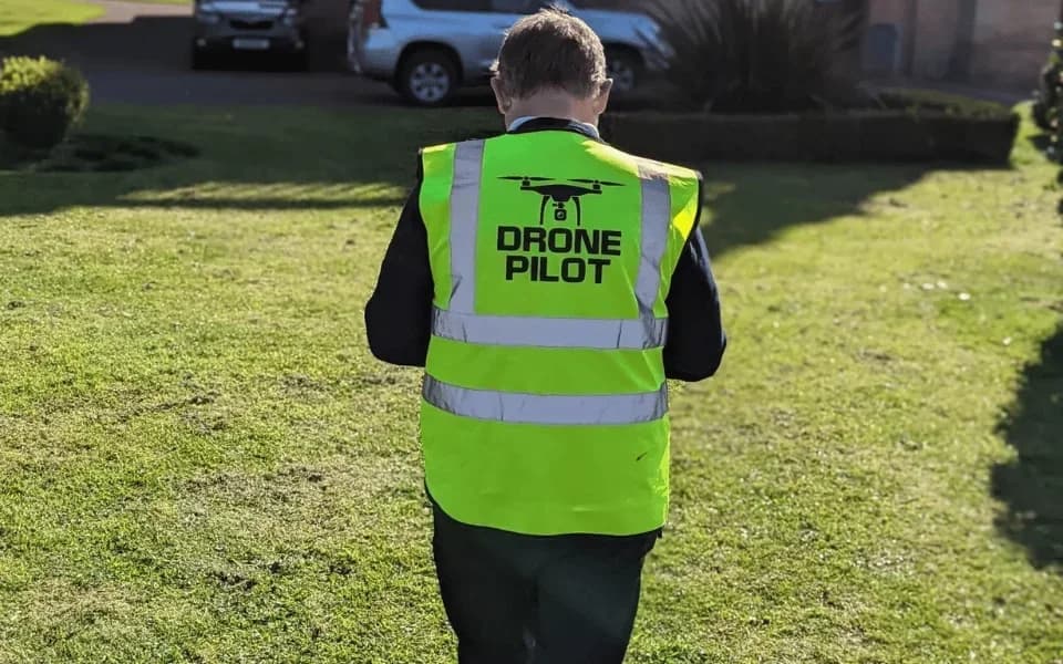
- 1.Access local, CAA-certified, and insured drone pilots for professional surveys across Stirling.
- 2.We provide specialized surveys including LiDAR, thermal imaging, roof inspections, and topographical mapping.
- 3.Receive multiple competitive, no-obligation quotes from vetted pilots within 24-48 hours.
- 4.Our services support key local sectors like construction, agriculture, roofing, and infrastructure.
- 5.Pilots expertly manage legal operations within Stirling's complex and restricted airspace, ensuring compliance.
We connect you with CAA-certified drone pilots for tailored drone survey solutions in Stirling. You'll get competitive quotes quickly for specialized services like LiDAR and thermal imaging.
But our real value isn't just our technology. It’s our drone pilots' unique authorisation to fly in Stirling's restricted zones, gaining you access to data that is otherwise unobtainable.
Your Trusted Local Drone Survey Experts in Stirling
Finding the right drone survey expert in Stirling is simple with our platform. You just submit your project's details, outlining what your survey requires.
We then broadcast your request to our network of skilled drone pilots based in and around the Stirling area. These professionals review your requirements and send you competitive, no-obligation quotes for the job.
You'll quickly receive multiple bids, allowing you to directly compare prices and the specifics of each offer. This process puts you in control. You simply review the quotes and select the expert who best aligns with your survey goals and budget. It’s the most efficient way to connect with the right professional for your specific aerial data collection needs, saving you valuable time and effort in your search.
Why Choose HireDronePilot for Drone Surveys in Stirling?
When you need a drone survey in Stirling, choosing the right drone pilot is critical for ensuring your project is completed safely and legally. That's where we come in.
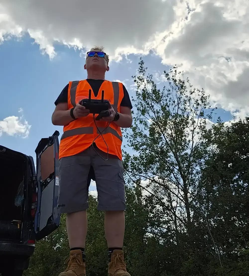
We take the guesswork and risk out of hiring. We've built a UK-wide network of professional, CAA-certified drone pilots, and we connect you with local experts right here in Stirling.
You don't have to spend hours vetting credentials or chasing insurance documents; we’ve already handled it. Simply post your project on our platform, and you’ll receive competitive quotes from our pre-vetted drone pilots, often within 24-48 hours. Our streamlined process ensures you can quickly find the perfect, fully-insured drone operator for your survey, saving you time and ensuring project compliance from the start.
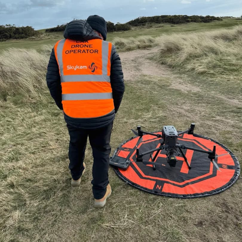
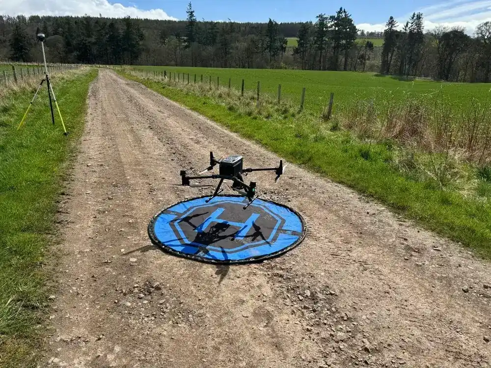
We Can Fly In Stirling’s Restricted Drone Flight Zones
Because much of Stirling falls within restricted airspace, flying a drone legally requires more than just a basic licence. Many areas are located within Flight Restriction Zones FRZs, which makes drone operations complex for standard drone operators.
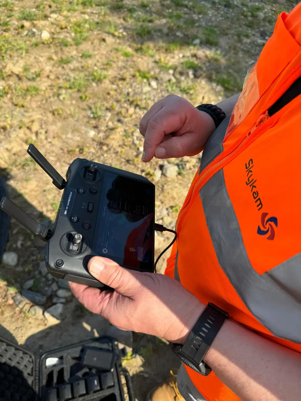
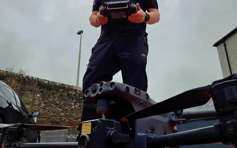
This is where our expertise is crucial. We’re not hobbyists; our drone pilots hold an Operational Authorisation from the Civil Aviation Authority CAA.
This certification is what allows us to legally plan and request access to fly within these normally off-limits zones. We handle all the necessary flight planning, risk assessments, and coordination with authorities like Air Traffic Control. It's our job to navigate the regulations, ensuring your project is completed legally and safely, no matter how protected the airspace around your site is.
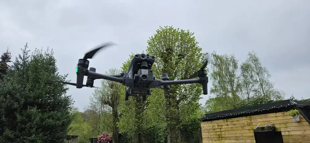
Our Professional Drone Surveying Services
We use our advanced drones to provide a range of professional surveying services. We’re equipped for specialized tasks like Drone LiDAR Surveys, topographical mapping, thermal imaging, and detailed roof or solar panel inspections.
Let's explore what each of these services can deliver for your project.
Drone LiDAR Surveys
For highly detailed 3D mapping and terrain analysis, a drone LiDAR survey is an ideal solution. Our advanced drones are equipped with powerful LiDAR sensors that emit millions of laser pulses per second. This technology allows us to capture incredibly precise data, creating detailed point clouds and 3D models of the landscape.
It's a key advantage over photogrammetry, as LiDAR can penetrate vegetation, giving us a true representation of the ground surface beneath tree canopies.
This capability is invaluable for projects across Stirling, from land development and forestry management to accurate topographical mapping for engineering and construction. We process this data to deliver high-resolution Digital Terrain Models (DTMs) and Digital Surface Models (DSMs), providing the critical insights you need for your project’s success.
Drone Roof Inspections
While LiDAR excels at mapping large landscapes, inspecting the integrity of your property's roof requires a different kind of precision. That’s where our drone roof inspections excel. We use high-resolution cameras to capture crystal-clear imagery, providing a comprehensive view of your roof's condition without the need for costly, time-consuming scaffolding.
Our skilled drone pilots quickly identify issues such as cracked tiles, blocked gutters, or potential leaks, often before they become major problems. We safely navigate complex roof structures, ensuring every angle is thoroughly covered.
After the survey, we deliver a detailed report packed with high-definition visual data. This gives you the clear, actionable insights needed to make informed decisions about maintenance and repairs for your Stirling property.
Drone Topographical Mapping
Mapping large terrains or construction sites demands a level of accuracy that goes beyond standard aerial photography. That's where our drone topographical mapping service excels.
We use advanced photogrammetry techniques, capturing thousands of overlapping, high-resolution images from our specialised drones. We then process this data to generate exceptionally accurate 2D and 3D outputs. These aren't just pictures; they're precise digital models for your project.
You'll receive detailed maps with contour lines, Digital Surface Models (DSMs), and Digital Terrain Models (DTMs). This information is invaluable for architects, engineers, and construction managers right here in Stirling, enabling precise planning, accurate volumetric calculations for cut-and-fill operations, and effective site management. Our surveys provide the critical data you need for informed decisions.
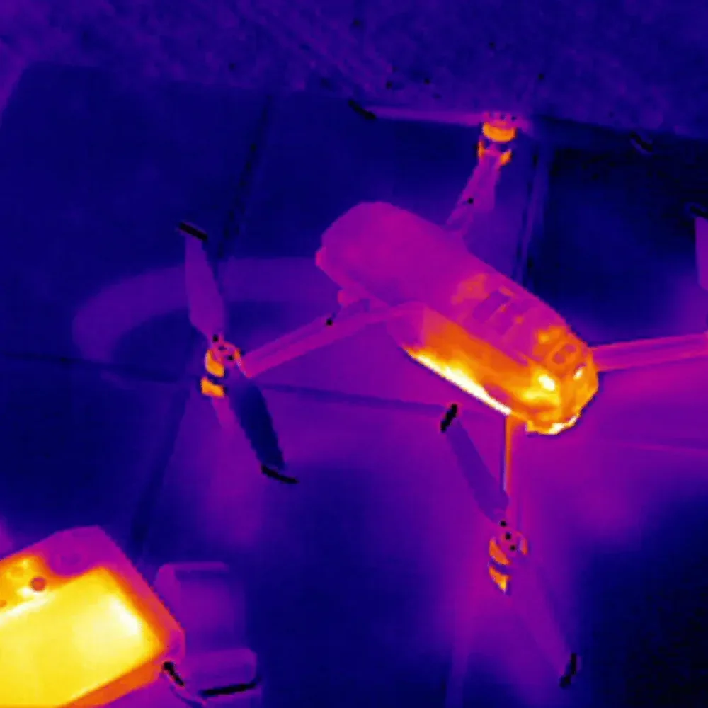
Drone Thermal Imaging
Because some of the most critical structural and electrical issues are completely invisible, our drone thermal imaging service provides an essential non-invasive diagnostic tool. We use advanced radiometric thermal cameras to detect subtle temperature variations across your property's surfaces.
This allows us to quickly identify problems like heat loss from poor insulation, air leakage points, or moisture ingress trapped within roofs and walls. By highlighting these thermal anomalies, we reveal hidden defects before they escalate into major, costly problems.
Our surveys are perfect for assessing building envelope performance and checking for overheating electrical components in hard-to-reach areas. You'll receive a detailed report visualising these issues, enabling you to target repairs precisely, saving you from expensive, long-term damage.
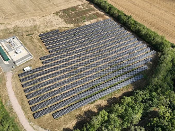
Drone Solar Panel Inspections
We apply our thermal imaging expertise to solar panel arrays to identify underperforming or damaged cells that undermine your system's efficiency. Faults like hot spots, micro-cracks, or malfunctioning diodes are invisible to the naked eye but show up clearly on our thermal scans.
By quickly and safely surveying large-scale solar farms or rooftop installations across Stirling from the air, we don't need to physically walk on panels, which eliminates the risk of causing further damage.
This proactive approach allows you to pinpoint the exact problem areas, schedule targeted maintenance, and maximize your energy generation and return on your investment. Our detailed reports give you the clear, actionable data needed to protect your assets and ensure your solar energy system is performing at its absolute peak.
Drone Stockpile Surveys
Accuracy in stockpile measurement is critical for managing inventory and finances. Traditional methods are often slow, unsafe, and provide inconsistent results.
Our drone stockpile surveys in Stirling offer a modern solution that’s faster and significantly more precise. We use advanced photogrammetry techniques to capture high-resolution aerial data of your materials, whether it's aggregates, coal, or timber. This process eliminates the need for personnel to climb dangerous piles, enhancing overall site safety and reducing operational downtime.
From the collected data, we generate accurate 3D models and digital surface models. We'll provide you with precise volumetric calculations, cut/fill analysis, and detailed reports you can trust for auditing and planning. Our quick turnaround ensures you get essential information without disrupting your operations. We deliver reliable data quickly.
Industries We Serve in Stirling and Stirlingshire
Our drone surveys support an array of sectors throughout Stirling and Stirlingshire, adapting to the diverse needs of the local economy. We often find ourselves working on projects involving construction and development, roofing inspections, and agricultural land management.
Let's look at how our aerial expertise specifically aids these crucial local industries.
Construction & Development
Since managing a construction site in Stirling requires constant oversight, our network of professional drone pilots delivers the high-resolution aerial imagery and data you need. We help you monitor project progress from groundbreaking to completion, ensuring you stay on schedule and within budget.
Our drone pilots capture precise data for accurate topographic mapping and perform volumetric calculations of stockpiles, which is essential for effective earthworks planning and resource management.
We create detailed 2D orthomosaic maps and 3D models of your Stirlingshire development, offering an unparalleled perspective for planning and monitoring. This improves communication between architects, engineers, and stakeholders, providing a single source of truth for the entire site. It's a faster, safer, and more cost-effective way to gather crucial intelligence than traditional methods.
Roofing & Building Inspections
Just as we help monitor new developments, we also protect the integrity of existing properties across Stirling. Our drone surveys provide a safe, fast, and cost-effective way to inspect roofs and building facades, from historic stonework to modern commercial units.
We eliminate the need for expensive scaffolding or hazardous manual checks, ensuring work is completed efficiently. Our drones capture detailed, high-resolution imagery, letting us identify subtle defects like cracked tiles or failing mortar—issues that aren't visible from the ground.
We provide you with comprehensive data and crystal-clear visuals, so you can assess your assets accurately. This allows for proactive maintenance planning, saving you significant time and money on future repairs. It's a smarter approach to building management.
Agriculture & Land Management
From the fertile Carse of Stirling to the expansive estates in the hills, we're transforming agriculture and land management. Our drones quickly capture detailed aerial data, offering insights that traditional methods just can't match.
We help farmers monitor crop health with advanced multispectral imaging, identifying areas of stress or disease before they're visible to the naked eye. This allows for targeted irrigation and fertiliser use.
For land managers, we provide precise topographical maps crucial for planning drainage solutions, assessing woodland health, and calculating stockpile volumes with accuracy. This information isn't just data; it's a powerful tool for making smarter, more profitable decisions. We empower you to boost yields and sustainably manage your land holdings across the Stirlingshire region.
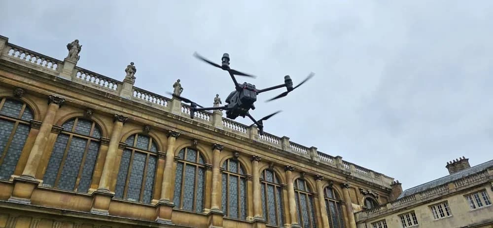
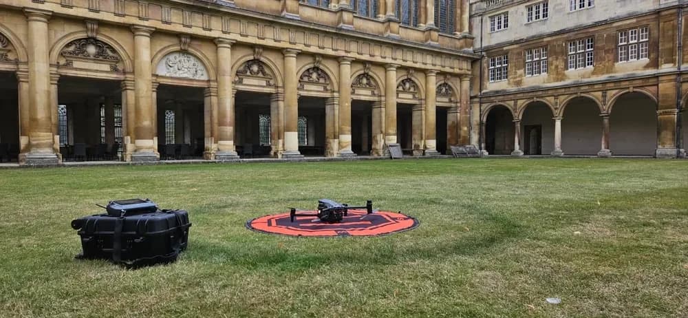
Heritage Site Surveys
With a history as rich as Stirlingshire's, protecting its iconic landmarks requires a modern, non-invasive approach. Historic buildings, castles, and monuments demand careful assessment for conservation and maintenance.
That's where our drone surveys come in. We provide a safe, efficient alternative to traditional methods like scaffolding, which can be costly, time-consuming, and potentially damaging to fragile structures.
Our advanced drones capture centimetre-accurate data from every angle. We create detailed 3D models and high-resolution orthomosaic maps that allow architects and conservationists to inspect stonework, roofs, and other features with incredible precision. This vital information helps you monitor deterioration, plan restoration work, and preserve Stirling’s precious heritage for future generations without ever touching the truly historic fabric.
Infrastructure & Utilities
As Stirlingshire’s infrastructure ages, maintaining essential utilities like power lines, pipelines, and transport networks is a top priority. Our drones provide a safer, faster, and more cost-effective way to conduct these critical inspections.
We survey extensive areas, from railway lines crossing the countryside to bridges spanning the Forth, without needing costly ground crews or risky manual access. We're capturing high-resolution visual and thermal data, identifying potential faults, heat anomalies, or structural weaknesses before they become major problems.
This allows utility companies to perform precise, targeted maintenance, minimizing disruption and ensuring services remain reliable. Our detailed reports and 3D models deliver the actionable intelligence you need to manage Stirling's vital assets proactively, ultimately saving you time and money.
The Benefits of Our Advanced Drone Technology
Since a successful drone survey depends on having the right equipment, our platform connects you with drone pilots who operate the most advanced drone technology. Our network of professional drone pilots utilizes high-spec hardware like LiDAR for precise 3D mapping, thermal imaging for heat-loss detection, and RTK/PPK systems for centimetre-level geospatial accuracy.
This cutting-edge equipment guarantees we capture incredibly detailed, high-resolution data, providing a truly comprehensive view that goes far beyond simple aerial photos. You won’t just get simple photos.
Instead, you'll receive rich, actionable intelligence delivered as dimensionally accurate models and crystal-clear imagery. It’s superior data that traditional methods can't match, empowering you to make critical project decisions with absolute confidence.
Our Simple 3-Step Drone Survey Process
Our platform simplifies hiring a drone pilot for your Stirling survey into just three easy steps. First, you'll describe your project requirements by submitting the details through our secure online portal. Just tell us what you need for your site in Stirling, and we’ll handle the rest, ensuring clarity for our professional drone pilots.
Second, we send your project specifications to our network of vetted, CAA-certified drone pilots across Stirlingshire. They’ll review the job and promptly provide competitive quotes straight to you. This gives you multiple options to consider without any obligation.
Finally, you review the quotes and drone pilot profiles. You’re in full control to choose the expert whose pricing and experience best suit your needs. Once selected, you can finalise the booking and schedule your survey.
What Our Stirling & Stirlingshire Clients Say
The simplicity of our hiring process isn't the only reason clients choose us. We consistently get feedback on the exceptional quality and professionalism of our local, CAA-certified drone pilots.
Clients tell us they value the expertise our network brings to every project, from detailed roof inspections to comprehensive land surveys. They often mention how refreshing it is to work with drone pilots who are skilled drone operators and also excellent communicators, keeping them informed.
The feedback we receive also highlights the true value of the data we deliver. Our clients find our high-resolution imagery and detailed survey reports invaluable for their decision-making. They love that we handle all compliance and insurance checks, providing complete peace of mind that their project is in safe, professional hands.
Areas We Serve Around Stirling
While our focus here is on Stirling, our network of professional drone pilots isn’t limited to the city itself. We provide comprehensive drone survey coverage across the entire Stirlingshire council area and its surrounding regions.
You’ll frequently find our local experts undertaking projects in towns and villages like Bridge of Allan, Dunblane, Bannockburn, and Callander. Our service reach also extends confidently into neighbouring areas, so if your project is based in Falkirk, Alloa, or Cumbernauld, we’ve definitely got you covered.
It doesn't stop there. Thanks to our extensive UK-wide network, we can manage jobs almost anywhere in Scotland. So, whether your site is located in the Scottish Borders or the remote Highlands, we connect you with the right local drone pilot.
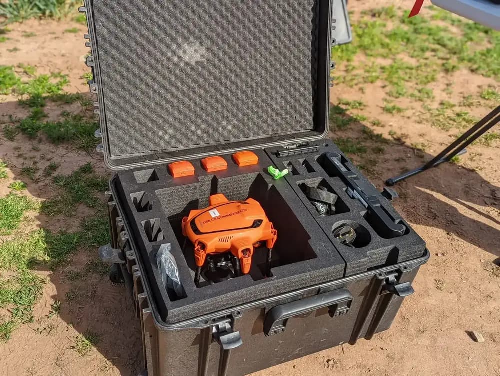
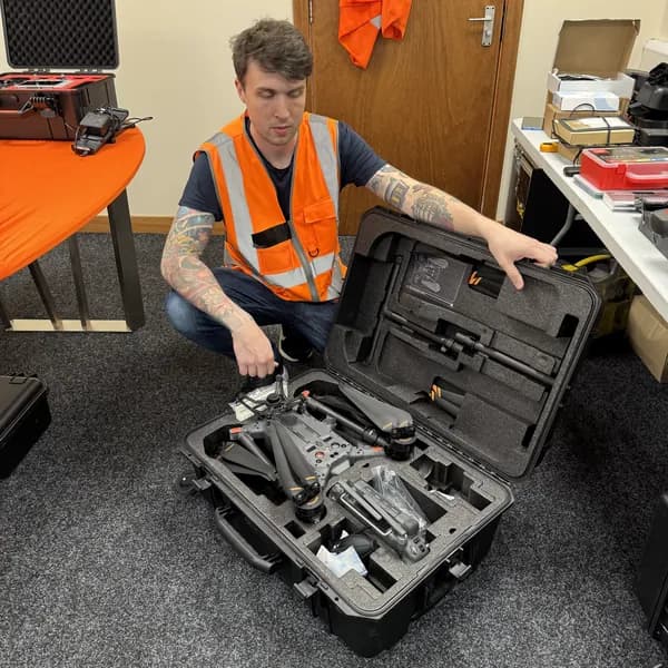
Fully Qualified, Insured & CAA-Approved Drone Pilots
Compliance is the cornerstone of our network. That’s why we only partner with drone pilots who are fully vetted, qualified, and approved by the Civil Aviation Authority (CAA). When you work with us for your Stirling survey, you’re hiring a true professional.
Every drone pilot in our network holds the required certifications, such as the GVC, and possesses the necessary CAA Operational Authorisation for all commercial flights.
We also verify that every drone operator carries comprehensive commercial insurance, protecting your project and property. We've done all the complex verification work for you, so you don’t have to worry about navigating aviation regulations. It’s our commitment to you, ensuring your survey is conducted safely, legally, and to the highest professional standard.
Get Your Free, No-Obligation Quote Today
Ready to get competitive quotes for your Stirling drone survey? We've streamlined the entire process to make it fast, simple, and completely free.
Just tell us about your project requirements by filling out our straightforward form on our website. Once you submit your details, we'll instantly broadcast your request to our network of pre-vetted, CAA-approved drone pilots who operate in and around the Stirling area.
Within a short time, you’ll start receiving tailored, no-obligation quotes directly from these local experts. You can then review their detailed profiles, compare their costs, and select the professional who best aligns with your project's specific needs and budget. There's never any commitment required. It’s simply the smartest way to connect with fantastic local talent.
Start Your Stirling Survey Project Today
Tackling a survey in Stirling, particularly within its complex restricted airspace, requires more than just technology—it demands certified local expertise. Whether you need precise LiDAR mapping for a construction project or a detailed thermal inspection of a historic roof, our network has the solution.
This is where HireDronePilot helps. As the UK's premier managed marketplace, we specialise in connecting businesses with verified professional drone pilots for hire. Our network includes experts who hold the critical CAA Operational Authorisation, granting them the specific permissions needed to operate safely and legally in areas others cannot.
We streamline drone services through competitive bidding, allowing you to receive multiple quotes from qualified Stirlingshire drone pilots. This ensures quality, compliance, and value for every aerial project across the United Kingdom.
Don’t let complex airspace or the challenge of finding a qualified drone operator delay your project. Post your Stirling survey requirements on our platform to receive free, no-obligation quotes from local, CAA-approved experts.