Key Takeaways
- 1.Plan the mission by defining the drone lidar survey area, calculating flight parameters, and reviewing airspace regulations.
- 2.Set up and calibrate equipment, including the drone, LiDAR sensor, and a GNSS base station.
- 3.Execute the autonomous flight plan to acquire raw LiDAR point cloud data over the survey area.
- 4.Process raw data with corrections and filtering to generate an accurately georeferenced 3D point cloud.
- 5.Deliver the final data package with reports and methodology to the client for analysis and support.
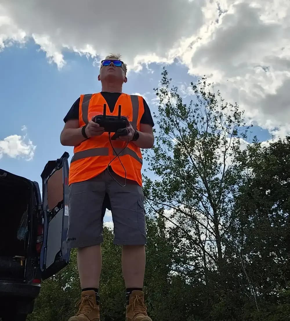
If you're considering a drone LiDAR survey, you'll find the process is more than just flying a drone; it’s a meticulous, multi-stage operation. You'll begin with detailed mission planning and precise equipment setup.
But how do you turn raw data into actionable insights once the drone lands? The most critical work often begins after the flight is over, and it's these steps that truly define the quality of the final results.
Mission Planning
Before launching a drone, you'll begin mission planning by defining the survey area in GIS software to delineate boundaries and identify key features. This step ensures you capture all necessary data points.
Next, you'll calculate critical flight parameters to guarantee comprehensive coverage and data quality. You need to determine the optimal flight altitude, typically between 60 and 90 meters, and set the overlap percentage between your flight paths to create a seamless point cloud. You'll also establish the flight direction, often aligning it with the terrain's longest axis for efficiency.
Safety and compliance are non-negotiable; you're responsible for thoroughly reviewing local airspace regulations and obtaining all necessary permissions or waivers required for the designated area.
Don't forget to constantly monitor weather conditions. You must watch for potential hazards like high winds or precipitation that could compromise mission safety or data integrity.
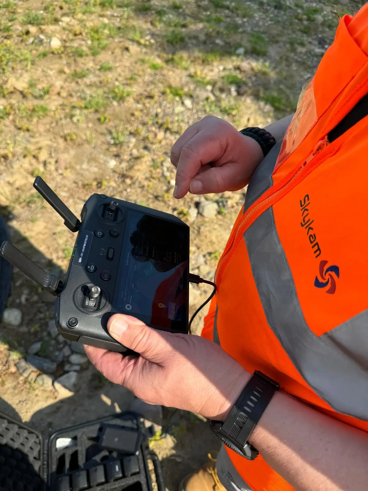
Equipment Setup and Calibration
Your first on-site task is setting up a GNSS base station at a known location to provide accurate positioning data. This ground-based receiver is crucial for correcting the drone's positioning information throughout the survey.
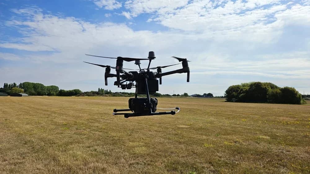
Next, you'll securely mount the LiDAR sensor to your drone. You must then perform thorough weight and balance checks, as this directly affects the drone's flight characteristics and overall stability once it's airborne.
With the hardware assembled, your focus shifts to calibration. You'll align the LiDAR sensor's settings with the drone's flight control system to ensure seamless integration.
You also need to prepare the drone's Inertial Measurement Unit (IMU), which is essential for capturing precise velocity and orientation data during flight. Finally, you'll conduct brief test scans to verify the sensor's accuracy and confirm all systems are functioning correctly before you commit to the full survey flight.
Data Acquisition
Once all systems are green, you'll launch the drone to begin its autonomous mission. The drone meticulously follows its predefined flight plan while the LiDAR sensor gets to work.
It emits thousands of rapid laser pulses per second toward the ground. These pulses bounce off surfaces and objects, reflecting back to the sensor. The system then calculates precise distances by measuring the time it takes for these pulses to return, a principle known as time-of-flight.
Throughout the flight, you'll monitor the system in real-time to ensure proper sensor operation and data capture. All the raw LiDAR point cloud data is securely stored on high-capacity onboard devices.
It's crucial that you also have backup procedures in place to prevent potential data loss. After completing its route, or if the drone battery runs low, the drone automatically returns home, safely landing with its valuable payload of raw data.
Data Processing and Analysis
After the drone lands, you'll transfer its raw data and the base station's RINEX files to a computer for post-processing kinematic (PPK) corrections. This crucial step improves your data's positional accuracy.
Using specialized software, you'll then begin cleaning the dataset.
The software applies advanced noise filtering techniques to remove unwanted outliers and artifacts, ensuring the integrity of the valuable information is preserved.
Next, you perform data registration, which merges multiple LiDAR scans from the flight into a single, cohesive dataset. It's during this stage that you also integrate the on-board GNSS and IMU data to accurately georeference the point cloud.
The final output is a dense 3D point cloud where each individual point represents precise 3D coordinates. These coordinates correspond to exact surface points on the terrain or objects within your survey area.
Final Delivery and Client Support
With the point cloud fully processed, you'll prepare the final delivery package for your client. This package isn't just the raw data; you'll bundle it with detailed reports and technical analyses. These documents clearly explain your methodology, accuracy assessments, and data specifications, providing crucial context.
Throughout the drone survey process, it's smart to incorporate quality control checkpoints to confirm you’re meeting client expectations well before this final handover.
You can deliver the data securely via cloud storage systems or physical media, and you'll send automated notifications to all stakeholders upon completion. Your support doesn't stop at delivery.
You'll offer follow-up consultations to discuss the findings, help with data interpretation, and assist with any further project planning or analysis needs. This ongoing support ensures your client can fully leverage the data, solidifying your role as a trusted survey partner.
Ensure Your LiDAR Survey Delivers Actionable Insights
The step-by-step process of a LiDAR survey—from mission planning and data capture to post-processing and analysis—is complex. It demands specialist expertise to transform raw data into the accurate, actionable results your project depends on.
Navigating this intricate workflow is where many projects face challenges, resulting in costly delays or unusable data. This is the specific problem HireDronePilot solves by connecting you with top-tier professionals experienced in handling every stage of a professional drone LiDAR survey.
As the UK's premier managed marketplace, we are dedicated to connecting businesses with verified professional drone pilots for hire. Our network features CAA-certified drone pilots with proven expertise in advanced LiDAR operations, complex data processing, and delivering survey-grade point clouds. We help you streamline drone services through competitive bidding, ensuring quality, compliance, and value for every aerial project across the United Kingdom.
Don't let complexity compromise your project's success. Post your LiDAR survey job today to receive competitive quotes from qualified specialists and secure the high-quality data you need.