Key Takeaways
- 1.Drone LiDAR mapping uses lasers on a drone to create precise 3D maps.
- 2.It shoots laser pulses to measure distances and generate a measurable digital model.
- 3.The technology effectively penetrates vegetation to reveal the true ground surface below.
- 4.It is used for topographic mapping, forestry, urban planning, and infrastructure inspection.
- 5.The primary data output is a detailed 3D point cloud in LAS or LAZ format.
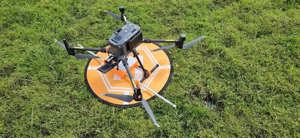
When you need highly accurate 3D models of the Earth's surface, drone LiDAR mapping is a leading solution. This advanced technique combines drones with laser scanning to capture precise topographical data, even through dense vegetation.
It's a significant leap beyond traditional surveying methods, but the true value isn't just in the data's quality. It's in understanding how that data is captured and what you can ultimately create with it.
What Is Drone LiDAR Mapping
A powerful remote sensing technology, drone LiDAR mapping combines LiDAR (Light Detection and Ranging) sensors with drones to create highly accurate 3D maps and models.
When you use this technology, you’re deploying a drone that shoots rapid laser pulses toward the earth. These lasers measure distances to create exceptionally detailed topographical data for terrain, structures, and objects.
What makes this so revolutionary is its unique ability to penetrate through vegetation. You can finally reveal the true ground surface that’s completely hidden beneath a dense forest canopy, something traditional photography simply can’t do.
Instead of just a flat image, you receive a precise 3D model. You're not just looking at a picture; you're capturing a measurable, digital representation of the real world, providing you with unparalleled insight into any surveyed area.
How Drone LiDAR Mapping Works
Your drone's LiDAR system operates by shooting high-powered laser pulses toward a target and precisely measuring the time it takes for them to bounce back to the sensor. The system doesn't just measure return time; it also collects the intensity of the returned laser pulse and the angle of reflection from the surface.
To achieve centimetre-level accuracy, your drone integrates GPS data to determine its exact positioning during the flight. At the same time, an on-board Inertial Measurement Unit (IMU) tracks the drone’s orientation and movement, recording every tilt and turn.
After you've completed your flight, you'll transfer this massive collection of data to a computer. Specialized 3D mapping software then processes the millions of laser data points along with the GPS and IMU information, generating the detailed and precise 3D models.
Benefits Of Drone LiDAR Surveying
Drone LiDAR surveying offers distinct benefits over traditional methods. You'll cover vast areas rapidly—up to four square miles in a single flight, with a single drone operator completing in hours what once took a team.
You're not just fast; you're also incredibly precise. You can achieve an absolute accuracy of about 4 inches horizontally and 2 inches vertically, ensuring your data is both reliable and exact. This combination of speed and precision dramatically boosts efficiency, saving you significant time and manpower.
Your drone surveying capabilities also expand in challenging environments. With LiDAR, you can effectively penetrate dense forest canopies to map the true ground elevation beneath, a feat impossible for other aerial methods.
Furthermore, you aren't limited by perfect weather or daylight. Your sensors can operate in low-light conditions, at night, or even through fog and rain. This gives you unmatched operational flexibility to capture critical data.

Applications Of Drone LiDAR Mapping
Now that you understand the benefits, let's examine the technology's practical uses. You'll find it's an indispensable tool across many sectors, from creating detailed topographic maps and managing forests to informing urban planning. We'll also explore its critical role in infrastructure inspection.
Topographic Mapping
A cornerstone of land surveying and civil engineering, topographic mapping is one of drone LiDAR's most powerful applications. You can generate highly accurate digital elevation models (DEMs) and digital terrain models (DTMs) with incredible speed.
Unlike traditional methods, you don't need to send crews into hazardous terrain. The drone captures millions of data points, creating a very detailed 3D representation of the landscape.
Because LiDAR can penetrate vegetation, you'll get a true 'bare earth' model, which is critical for planning construction projects, managing water resources, and designing infrastructure like roads or pipelines. You're able to see subtle changes in elevation, identify potential hazards, and make more informed decisions for your land development or civil engineering projects with unprecedented precision.
Forestry Management
When it comes to managing forest resources, LiDAR's ability to penetrate dense tree canopies is a game-changer. You can finally see the ground beneath the trees, which lets you create highly accurate digital terrain models.
This isn't just about the ground, though. You're also capturing detailed data about the trees themselves, allowing you to measure individual tree heights, estimate canopy diameters, and assess overall forest density. This information is crucial for calculating timber volume and biomass, which is essential for sustainable logging operations.
With this data, you can create precise inventory reports, monitor forest health, and even plan for wildfire risk by mapping out fuel loads. It's a powerful tool that helps you manage forests more effectively and sustainably.
Urban Planning
Beyond forests, drone LiDAR provides an equally powerful perspective on urban environments. As a planner, you’re constantly seeking better data to make informed decisions.
Drone LiDAR delivers incredibly detailed 3D city models, capturing everything from building heights to terrain contours. You use these point clouds to create digital twins of your municipality, allowing you to simulate new developments before breaking ground.
You’ll analyze sightlines, calculate building volumes, and check for zoning infringements with unprecedented accuracy. You can also perform shadow analysis to see how new structures will affect surrounding areas or identify optimal locations for public parks. This precise data helps you design smarter, more livable cities for everyone, streamlining the entire planning process from concept to approval.
Infrastructure Inspection
Inspecting sprawling infrastructure networks like power lines and pipelines is safer and more efficient with drone LiDAR. Instead of sending crews into hazardous terrain, you can quickly deploy a drone to capture detailed 3D data.
For electrical utilities, this means you’re not just spotting damage; you're precisely measuring vegetation encroachment and power line sag to prevent outages. You'll gain accurate clearance reports in minutes, not days.
When you're monitoring pipelines or railways, you can detect subtle ground shifts, erosion, or geohazards along the corridor. The high-resolution point clouds let you create digital twins of your assets, allowing for proactive maintenance planning and enhanced risk assessment. It’s a powerful tool that completely transforms how you manage and protect your critical infrastructure.
What data formats come from drone LiDAR surveys
Once your survey is finished, you'll work with two main categories of files. The primary output is the point cloud format, which contains all the raw data captured by the sensor.
From this point cloud, you'll then create various derived data products that are ready for your analysis.
Point Cloud Formats
Although the LAS format is the industry standard, you'll encounter several other point cloud formats in drone LiDAR workflows. You'll frequently work with LAZ files, which are a compressed, lossless version of LAS. Using LAZ drastically reduces storage requirements, making it essential for managing and transferring the massive datasets common in LiDAR.
Another popular format you'll see is XYZ. This simple text file lists X, Y, and Z coordinates for each point, with optional extra values like intensity or RGB colour.
Its generic structure makes it highly flexible and compatible with many different software applications. While you may also see formats like PTS, PTX, PLY, OBJ, OSGB, s3mb, and i3S, you'll find these are more commonly associated with photogrammetry workflows.
Derived Data Products
The real power of drone LiDAR comes from processing the raw point cloud into more specialized data products. With your processing software, you'll convert the raw data into many useful formats.
You'll create Digital Terrain Models (DTMs) and Digital Elevation Models (DEMs) as GeoTIFF files, where each pixel stores elevation data. For your engineering workflows, you can export CAD-compatible elevation contours and vector lines using the DXF format.
When you need to visualize the site geographically, you'll use KML files for site outlines and orthophotos. You can also get a simple tabular version of the point cloud as a CSV file or review quality metrics and parameters in a detailed PDF report, documenting your survey's results.
Hire a Professional for Your LiDAR Mapping Project
Achieving centimetre-level accuracy for topographic maps, especially in areas with dense vegetation, demands specialised technology and expertise. Drone LiDAR mapping provides the solution, penetrating canopies to deliver precise 'bare-earth' models and detailed 3D data for projects in forestry, construction, urban planning, and infrastructure management.
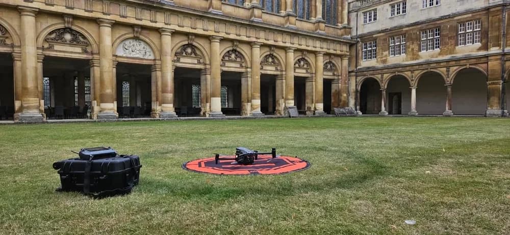
To leverage this advanced capability, you need access to certified professionals with the right equipment and experience. This is where HireDronePilot excels. As the UK's premier managed marketplace, we connect businesses with a network of CAA-approved drone pilots who specialise in LiDAR surveying.
Our platform is designed to streamline the procurement of professional LiDAR drone services, allowing you to receive competitive bids from multiple, pre-vetted experts.
We handle the vetting and verification, ensuring quality, compliance, and exceptional value for every aerial project across the United Kingdom.
Ready to capture unparalleled topographical data for your next project? Post your job on HireDronePilot today and get quotes from the UK’s leading LiDAR drone specialists.