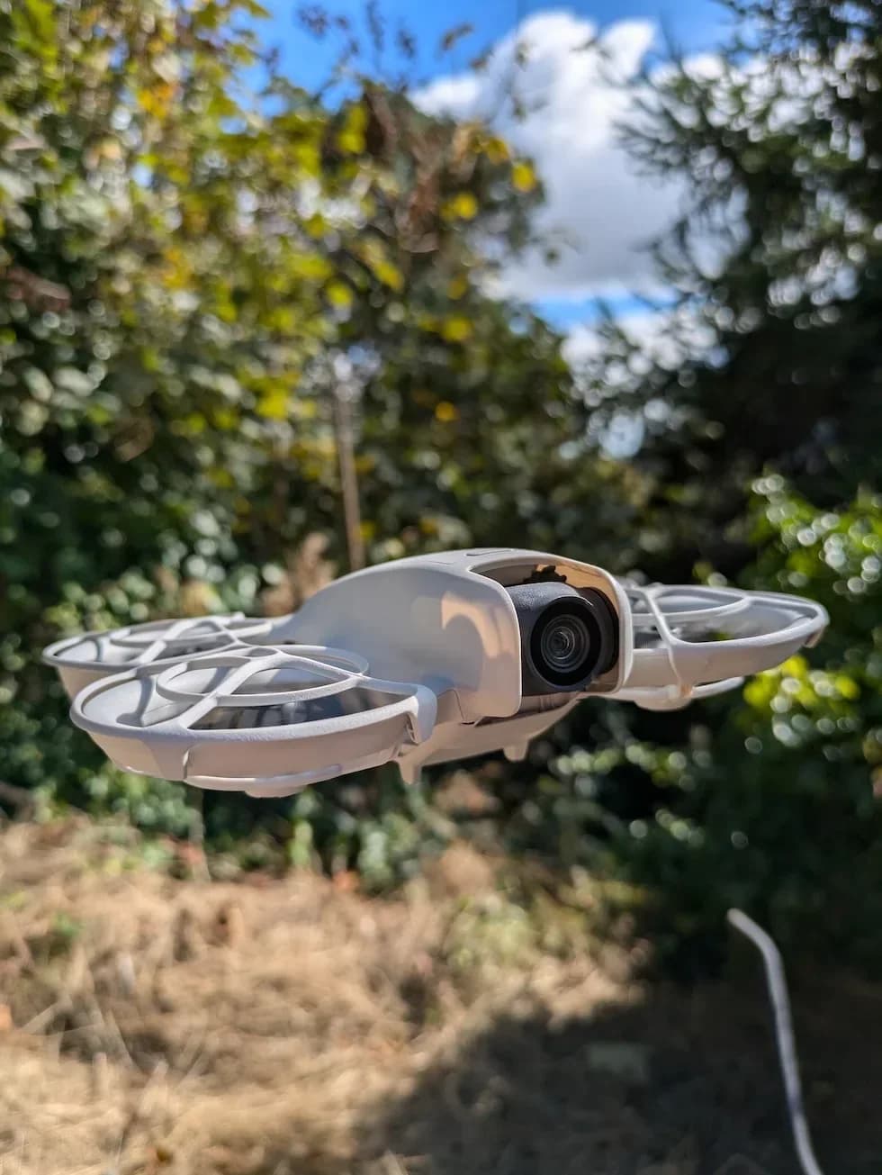

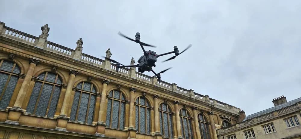
You rely on GPS for your drone to hover steadily and return home safely. This system connects to satellites, giving your drone its precise location for navigation and autonomous flight.
However, this critical connection isn't always perfect. To ensure safe and successful flights, you first need to understand what can compromise its accuracy.
Key Takeaways
- 1Drone GPS is an integrated module that receives satellite signals to determine the aircraft's precise location and coordinates.
- 2It works by triangulating its position using signals from at least four satellites to calculate its three-dimensional location.
- 3This technology enables crucial safety features like "Return to Home" and allows for pre-programmed, autonomous flight paths.
- 4High GPS accuracy is essential for professional applications like aerial mapping, surveying, and precision photography.
- 5GPS performance requires a clear view of the sky and is often obstructed by tall buildings, forests, or indoor use.
What is drone GPS (Global Positioning System)
Drone GPS is a Global Positioning System module integrated into a drone that connects to a network of satellites orbiting Earth to determine its precise geographical location. This core technology is what transforms your basic quadcopter into a truly sophisticated drone.
With it, you're no longer guessing where your drone is; you know its exact coordinates with remarkable accuracy, opening up a world of advanced functions.
This precision unlocks incredible capabilities. You can confidently plan and execute complex autonomous flights by setting multiple waypoints on a map, and your drone will fly the pre-programmed route on its own.
It’s also the foundation for crucial safety features. If you lose your connection or the drone battery gets critically low, the GPS empowers your drone’s Return to Home function, letting it automatically navigate back to its takeoff point. It's essential for modern navigation, flight stability, and safety.
How Drone GPS Works
At its core, the GPS process relies on two key principles: satellite communication and triangulation. GPS satellites constantly orbit Earth, each transmitting signals that contain its location and the precise time it was sent.
Your drone’s onboard GPS module actively listens for these signals, receiving them from multiple satellites simultaneously. The more satellites your drone connects with, the more accurate its positioning will be.
The module then calculates how long each signal took to travel, which determines your drone’s distance from each of those satellites. By using the distance data from at least four satellites, the GPS module triangulates its own exact three-dimensional position.
This complex calculation pinpoints its specific latitude, longitude, and altitude, telling you precisely where your drone is hovering. It’s a constant, rapid process that updates its location from moment to moment.
Key Benefits and Features of drone GPS (Global Positioning System)
The integration of GPS is what unlocks a drone's most powerful capabilities, from precise navigation to intelligent safety features. With GPS, your drone knows its exact location down to a few meters.
You'll find this accuracy is essential for professional applications like aerial mapping, surveying, and creating stunning stabilized photographs.
It also enables powerful autonomous flight modes. You can pre-program complex flight routes, allowing your drone to automatically execute missions for agricultural monitoring or infrastructure inspections, freeing you to focus on the data you're collecting.
Your drone also relies on GPS for critical safety functions. The return-to-home (RTH) feature is your best failsafe; if the connection drops or the drone battery gets critically low, your drone automatically navigates back to its takeoff point. GPS also lets you implement geofencing, creating virtual geographic boundaries to prevent your drone from entering restricted airspace like airports or other sensitive locations.
Practical Considerations for Best Drone GPS performance
Many factors can affect your drone's GPS, but you'll ensure optimal performance by taking a few key steps.
First, you must always fly with clear sky visibility, as tall buildings or dense forests can obstruct satellite signals. You'll also want to regularly update your drone’s firmware; manufacturers often release improvements enhancing GPS accuracy and stability. Before every flight, it’s critical that you calibrate the GPS to guarantee a strong, stable lock on its home point and intended flight path.
While GPS dramatically enhances your drone’s capabilities, it isn't always the right tool for the job. For certain professional applications, especially in indoor or confined spaces where satellite signals can't penetrate, you may need a different solution.
These scenarios often require specialized GPS-denied drones. Instead of relying on satellites, these advanced models use visual sensors for precise navigation in environments where standard GPS is unavailable.
Frequently Asked Questions
What Happens if My Drone Loses GPS Signal?
When your drone loses its GPS signal, it won't hold its position and will start drifting with the wind. You'll need to fly it manually in Attitude (ATTI) mode, where you're fully in control. Because your drone doesn't know its location, automated features like Return-to-Home won't work. You'll have to rely on your skill and visual line of sight to bring it back safely. It's challenging, so you'll want to practice.
Can My Drone’S GPS Be Jammed or Spoofed?
Yes, your drone’s GPS can be attacked. Jamming floods your drone’s receiver with radio noise, causing it to lose its connection to satellites. This often triggers a return-to-home failure or causes it to drift. Spoofing is more malicious; it tricks your drone by feeding it fake coordinates. This can make your drone fly to an incorrect location, potentially causing a crash or flyaway. Both actions typically require specialized equipment and are illegal.
Is GPS Legally Required for All Drones?
No, GPS isn't legally required for all drones, particularly toy models or those under 250 grams. However, you'll find it's a practical necessity for most others. Regulations like the CAA's Remote ID requirements effectively mandate it. To comply, your drone must broadcast its live location, a function that almost universally relies on GPS. Without it, you can't fly your drone in most areas that require Remote ID compliance.
How Does RTK Differ From Standard Drone GPS?
RTK (Real-Time Kinematic) offers you centimetre-level precision, whereas standard GPS's accuracy is only within several metres. You'll operate a ground station that knows its exact position. This station calculates satellite signal errors and transmits real-time corrections directly to your drone. It’s this constant stream of correction data that allows your drone to achieve such incredible accuracy, making it essential for tasks like high-precision mapping and surveying missions.
Do Drones Use GPS for Indoor Flight?
You generally won't use GPS for indoor flight. GPS signals can't reliably penetrate roofs and walls, so your drone loses its connection. Instead, you'll rely on other onboard sensors for stability. Your drone actively uses vision positioning systems (cameras) and ultrasonic or infrared sensors to see its surroundings and the ground. This allows it to hold its position and altitude, preventing it from drifting into objects without a satellite lock.
Ensure Mission Success with Expert Drone Pilots
Navigating GPS challenges, from signal obstructions in urban areas to the need for centimetre-level RTK precision, is crucial for successful aerial projects. Ensuring mission integrity requires more than just good hardware; it demands expert flight planning and operational skill.
This is where HireDronePilot excels. Our network includes professional drone pilots with specific expertise in complex flight environments and high-accuracy data capture. They are skilled in mitigating GPS interference and utilising advanced systems like RTK to guarantee reliable and precise results for surveying, mapping, and inspections.
As the UK's premier managed marketplace, HireDronePilot is dedicated to connecting businesses with verified professional drone pilots for hire. We streamline drone services through competitive bidding, ensuring quality, compliance, and value for every aerial project across the United Kingdom.
To guarantee your project's data is accurate and reliable, hire a professional UK drone pilot through our platform. Don't let GPS challenges compromise your objectives—secure a certified and experienced drone operator today.