Key Takeaways
- 1.Drone surveys can achieve accuracy within 2-5 cm when correctly configured with the right technology.
- 2.Ground Control Points (GCPs) are crucial for anchoring the map to known coordinates, ensuring high absolute accuracy.
- 3.RTK/PPK-enabled drones receive GPS corrections, providing survey-grade results with a reduced need for GCPs.
- 4.Flight planning, including lower altitudes and high image overlap, directly improves data resolution and final accuracy.
- 5.High-resolution cameras and advanced photogrammetry software are essential for processing images into precise, measurable models.
You're probably wondering just how accurate a drone survey can be.
While you'll often see claims of centimetre-level precision, achieving that result isn't automatic.
Your project's final accuracy hinges on several critical components, from the hardware in the air to the control you establish on the ground. Getting these elements right is the difference between reliable, survey-grade data and a collection of pretty but useless images.
Defining Drone Survey Accuracy: Absolute vs. Relative
When you evaluate your drone survey's precision, you'll find that 'accuracy' isn't a single measurement.
You must understand the two fundamentally different types: absolute accuracy and relative accuracy. Each one tells you something different about how your map relates to the real world.
What Is Absolute Accuracy?
While relative accuracy deals with distances within your map, absolute accuracy tells you how closely the coordinates on that map match their true positions on the Earth. Think of it as a global 'truth-check' for your entire project's location.
It answers the critical question: 'Is this point on my map really where it says it is in the real world?'
This precision is absolutely vital when your drone data must perfectly align with other project information, like property lines, blueprints, or existing GIS datasets. You're locking your survey into a fixed global coordinate system.
High absolute accuracy ensures your project is geolocated correctly, preventing costly mistakes and ensuring it fits with the world around it. It’s what you rely on for true positional certainty.
What Is Relative Accuracy?
Relative accuracy is all about the precision of measurements within your drone map, independent of its global position. Think of it as the internal consistency of your survey data.
When you measure the distance between two manholes or calculate the volume of a stockpile on your 3D model, you're relying on relative accuracy. It ensures that the lengths, areas, and slopes you calculate are true to life.
If your project's main goal is to compare changes over time on the same site or to calculate material quantities, then high relative accuracy is what you'll need.
Your map might be shifted a few feet north globally, but every feature within it is correctly sized and positioned relative to everything else.
The Critical Role of Ground Control Points (GCPs)
A drone map, on its own, is essentially a detailed picture floating in space. While it has strong relative accuracy—meaning features are correctly sized and positioned relative to each other—the entire map isn't locked to a specific location on Earth.
To achieve an absolutely accurate survey, you must anchor your map to precisely known coordinates. This is the critical role of Ground Control Points (GCPs); they're the vital bridge between your digital model and physical reality.
Think of GCPs as high-precision pushpins for your map. Before you fly, you place distinct markers throughout your survey area.
A surveyor then uses survey-grade GPS equipment to measure their exact geographic coordinates. After your drone flight, you'll identify these markers in the imagery during post-processing.
Your software uses these known locations to georeference the entire dataset, correcting and aligning it perfectly with real-world positioning for a verifiable, survey-grade final product.
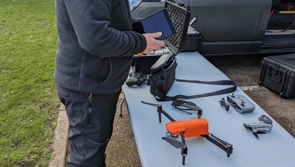
How RTK and PPK Drones Achieve Higher Precision
Placing ground control points isn't the only path to achieving this level of precision. Instead, you can use a drone equipped with Real-Time Kinematic (RTK) or Post-Processed Kinematic (PPK) technology to achieve survey-grade results more efficiently.
An RTK drone connects to a base station on the ground or a corrections network. This base station sends real-time corrections to the drone’s GPS, allowing it to record each photo's location with centimetre-level accuracy during your flight. You get precisely geotagged images straight from the drone.
PPK works a bit differently. Your drone records its positional data, and a separate base station does the same. After your flight, you use software to combine and process both data sets.
This corrects the image geotags after the fact. While it’s an extra step, PPK offers more flexibility if your real-time data link is unstable. Both methods dramatically reduce or eliminate your need for GCPs.
Factors in Flight Planning That Impact Your Results
Your survey's accuracy isn't just about the drone's technology; it's fundamentally shaped by how you plan the flight.
To achieve precise results, you'll need to optimise key variables like your flight altitude and image overlap percentages. Proper ground control point placement is also crucial, as it provides the necessary foundation for your entire project.
Flight Altitude Considerations
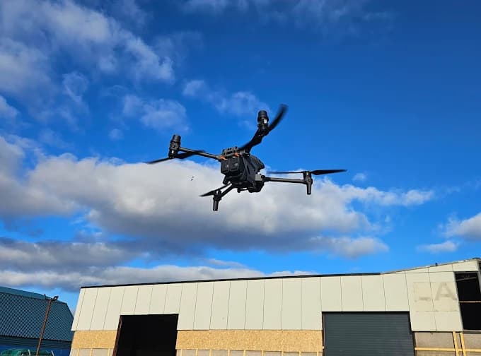
When planning a survey, the altitude you fly your drone at is one of the most important decisions you'll make, as it directly impacts your final data accuracy.
Flying lower creates a smaller Ground Sampling Distance (GSD), which means you'll get higher-resolution images and, consequently, a more detailed and accurate 3D model. However, lower flights cover less ground per pass, increasing your total flight time and the number of images you capture.
Conversely, flying higher lets you survey a larger area much faster, but it comes at the cost of resolution. Your GSD will be larger, and you'll capture less surface detail.
You must carefully balance the project’s specific accuracy requirements against flight efficiency and potential ground obstacles.
Image Overlap Percentages
Along with your flight altitude, the image overlap you set is another key factor in flight planning. This refers to the percentage each photo overlaps with adjacent ones, both front-to-back and side-to-side. You'll typically aim for at least 75% front overlap and 70% side overlap for most projects.
Why so high? Greater overlap gives your drone photogrammetry software more matching features to create a robust, accurate model.
Don't skimp on overlap to save flight time; it's a false economy. It drastically increases the risk of your software failing to align images, creating gaps, warps, and other distortions in your final deliverables.
For complex terrain or structures, you might even increase it. Ultimately, a higher overlap percentage directly translates to a more reliable, precise drone survey.
Ground Control Point Placement
Although high overlap builds a robust model, your survey’s absolute accuracy hinges on ground control points (GCPs). These are physical markers whose exact coordinates you've measured with high-precision GPS. They're the anchors that tie your drone's photos to real-world positions.
For the best results, you'll need a smart placement strategy. Don't just cluster them or line the perimeter; distribute them evenly across your entire project area, including the interior.
You should also place GCPs at varying elevations, making sure to capture the site's highest and lowest points. This simple step critically improves your vertical accuracy.
We recommend using at least five well-placed GCPs, though more are always better for larger or complex sites to ensure a reliable outcome.
Why Camera Resolution and Sensor Quality Matter
Since every measurement originates from the images captured, a drone's camera resolution and sensor quality are critical components of an accurate survey.
Think of higher resolution, measured in megapixels, as providing more data points within each photo. The more pixels you have, the finer the detail you can capture from the air. This allows you to precisely define the edges of features like kerbs, building corners, or stockpile toes.
You can't achieve high accuracy if your source images are too blurry or low-resolution to distinguish these crucial elements.
Equally important is the sensor itself. A larger, higher-quality sensor captures more light, producing cleaner images with less digital noise and better contrast. This is especially true in variable lighting conditions.
Sharper, clearer photos mean you can more reliably identify the same point across multiple overlapping images, which is the foundation of a precise 3D model.
The Influence of Photogrammetry Processing Software
Your high-quality drone imagery is just the raw input; it’s the photogrammetry software that does the heavy lifting to turn those pictures into a measurable model. Think of it as the digital darkroom where your survey comes to life.
Different software packages, like Pix4D, Metashape, or DroneDeploy, use unique algorithms to stitch your photos together. These proprietary engines identify common points across multiple images, a process called keypoint matching, and then triangulate their 3D positions.
The sophistication of these algorithms directly impacts the accuracy of your final point cloud and orthomosaic map. Some programs offer more advanced fine-tuning options or handle challenging textures, like uniform surfaces or dense vegetation, better than others.
The processing settings you select—from keypoint limits to point cloud densification levels—also play a huge role. Ultimately, the software you choose and how you configure it are critical variables in your survey’s final accuracy.
Benchmarking Drone Accuracy Against Traditional Methods
When you tally all the variables, the essential benchmark for drone surveys is how their accuracy stacks up against traditional tools like a total station or an RTK/GNSS rover. These instruments grant centimetre-level accuracy because you're directly measuring points.
A drone survey, using photogrammetry, creates a 3D model from which you pull measurements—an indirect process.
To achieve comparable results, you must integrate ground truth. By placing Ground Control Points (GCPs) measured with a GNSS rover, you tie your model to precise, known coordinates on Earth.
RTK/PPK-enabled drones apply corrections to image geotags, drastically improving absolute accuracy with fewer GCPs. With these techniques, you’ll find drone surveys can deliver results within 2-5 cm.
This rivals the accuracy of traditional methods for many applications, but in a fraction of the time, making them a powerful and efficient alternative.
Frequently Asked Questions
How Much Does a Drone Survey Cost?
You'll find drone service costs vary widely, typically from around £800 to over £4,000.
Your final price hinges on several factors. The size of your property, the site's complexity, and the specific deliverables you're looking for all play a huge role.
If you need highly detailed 3D models or specialised data, you can expect to pay more. It’s always best to get a custom quote that's tailored to your unique project requirements.
How Long Does a Drone Survey Take?
Your survey's duration greatly depends on its size and complexity. You'll find a small property's flight might take only an hour or two, but a large, complex site can require a full day.
Don't forget data processing, which is often the longest phase. After the flight, it’s not uncommon for this post-processing step to take anywhere from several hours to a few days before you receive your final maps and 3D models.
Can You Survey Through Trees and Vegetation?
You can't survey through dense trees with standard photogrammetry because your drone's camera needs to see the ground. Heavy vegetation blocks this view, leading to inaccurate data.
For these situations, you'll need to use drone LiDAR mapping. Its laser pulses penetrate through gaps in the canopy, allowing you to accurately map the ground terrain that's hidden underneath.
This technology provides a reliable solution for surveying challenging, vegetated areas that photogrammetry can’t handle.
What Data Deliverables Will I Receive?
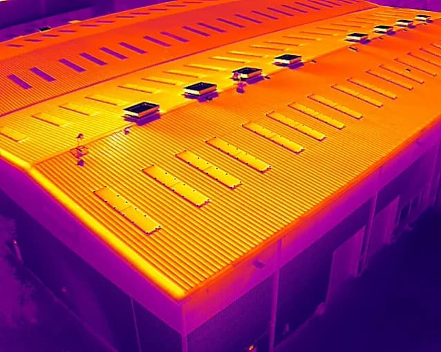
You'll receive several key data deliverables from your survey. Expect a high-resolution orthomosaic map, a detailed 3D point cloud, and digital elevation models (DSMs/DTMs) that map both the bare earth and surface features.
We then generate topographic contour lines from this data for your analysis. We'll also export everything into common CAD and GIS file formats, ensuring your team has exactly what it needs for their design and planning work.
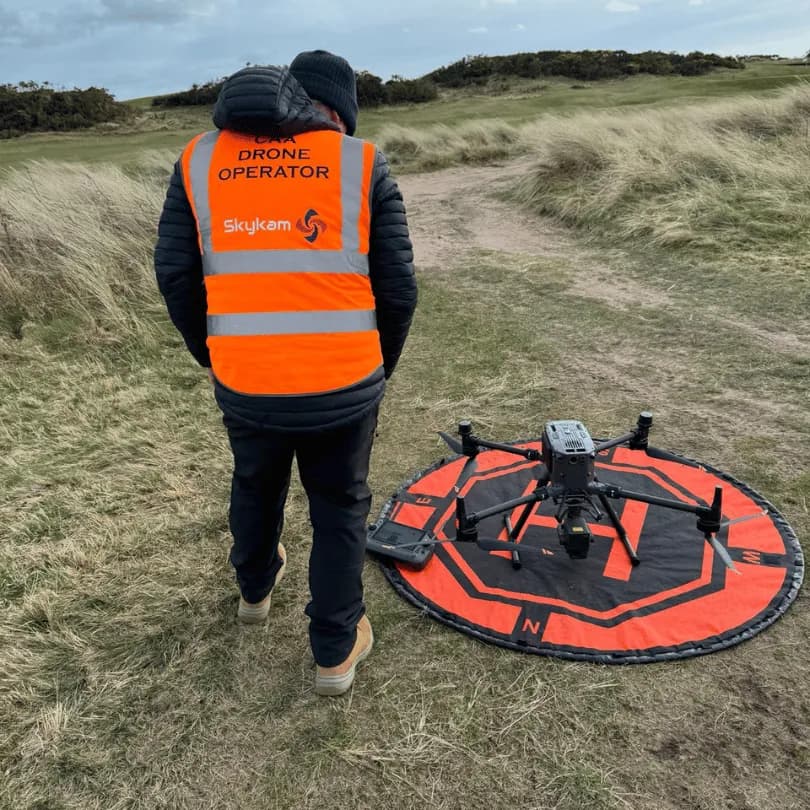
What Are the Legal Requirements to Fly?
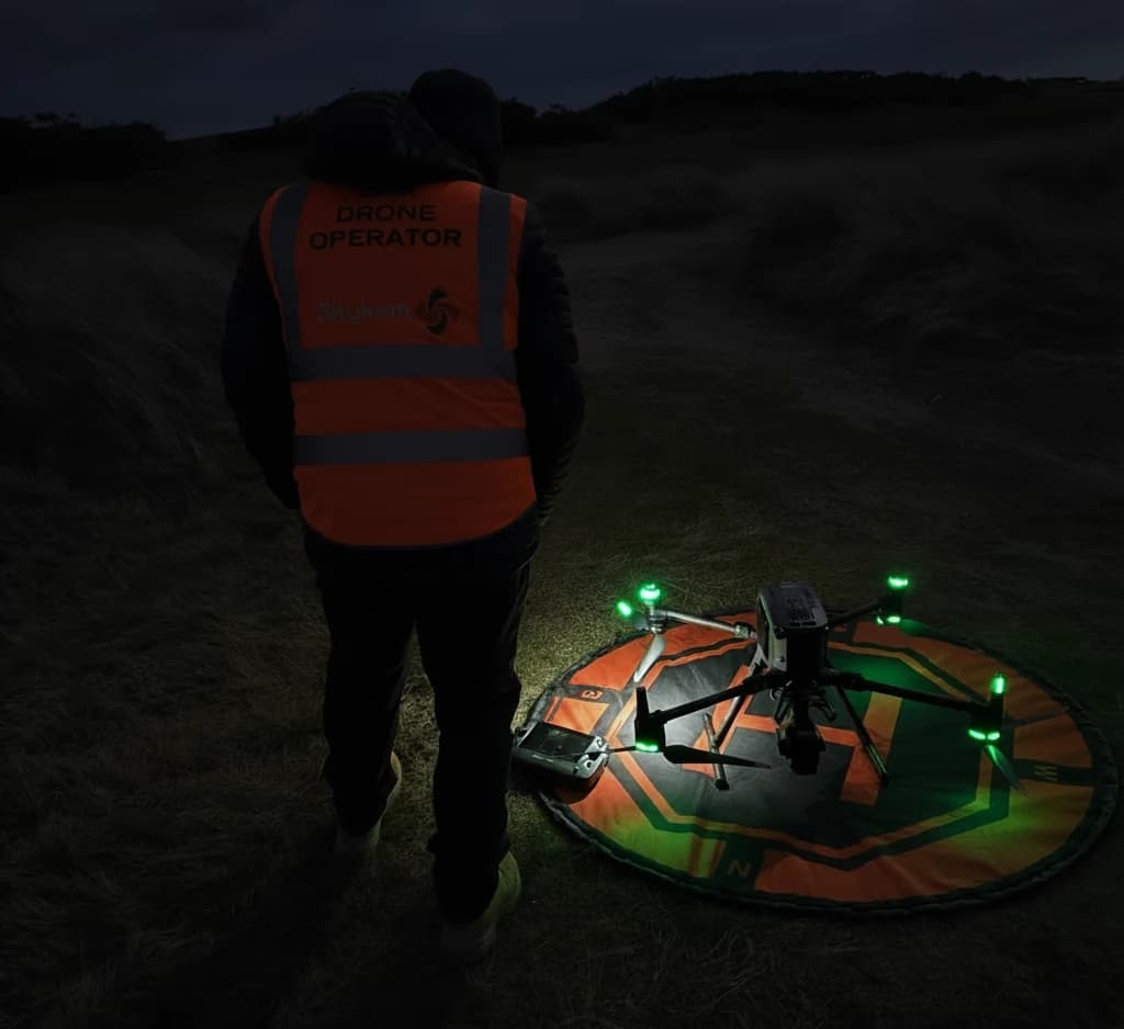
To fly commercially in the UK, your drone pilot will need to hold the correct CAA authorisations, such as an A2 Certificate of Competency (A2 CofC) or a General Visual Line of Sight Certificate (GVC), depending on the operation. The drone operator must also be registered with the CAA.
Key rules include keeping the drone within the drone pilot's visual line of sight and typically staying below 120 metres (400 feet). You must also check for local airspace restrictions and secure authorisation if operating in controlled airspace.
Following these regulations isn't just a suggestion; it’s a legal necessity for every flight.
Achieve Survey-Grade Accuracy on Your Next Project
Achieving centimetre-level survey accuracy isn’t automatic; it requires the right combination of technology, meticulous flight planning, and professional expertise.
Instead of navigating these complexities alone, HireDronePilot offers the direct solution by connecting you with drone pilots who specialise in precision aerial surveying.
Our network features certified professionals experienced in using RTK/PPK drones, establishing Ground Control Points, and executing complex flight plans to deliver data you can trust.
As the UK's premier managed marketplace, HireDronePilot is dedicated to connecting businesses with verified professional drone pilots for hire. Our platform lets you streamline drone services through competitive bidding, ensuring quality, compliance, and value for every aerial project across the United Kingdom.
You can easily find and vet the right professional drone survey pilots for your specific technical requirements.
Ready to ensure your project is built on a foundation of accurate, reliable data?
Post your project today to receive competitive quotes from the UK's top survey drone specialists.