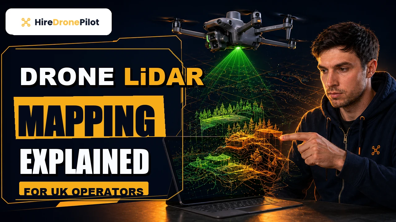
How Much Does a Drone LiDAR Survey Cost in the UK
Peter Leslie
5 Nov 2025

Key Takeaways
- A UK drone LiDAR survey typically runs from around £1,000 on a small site up to over £5,000 on a large or complex one, with most commercial jobs landing between £1,200 and £3,000
- Site size is a first-order cost driver, but terrain, vegetation, accessibility, seasonal conditions and deliverable format matter at least as much
- High-accuracy projects typically add a Ground Control Point network — around an additional £600 for a surveyor to establish — to verify absolute accuracy
- Standard UK turnaround runs five to ten working days; rush delivery typically adds a twenty-five to fifty per cent premium
- Most UK drone LiDAR quotes are stated excluding VAT — the standard twenty per cent is added to the quoted figure
A UK drone LiDAR survey usually costs somewhere between £1,000 and £5,000 depending on site size, terrain, deliverables and urgency, with most commercial jobs settling in the £1,200 to £3,000 band. The low end covers a small, accessible site with a clean visual deliverable. The high end covers corridor surveys, long linear assets, steep and vegetated terrain, or projects that demand a classified point cloud and CAD-ready outputs.
Below is how the price is actually built, what genuinely adds cost, and where the cheap quotes cut corners you should not agree to. The drone pilots in our network price this way because it maps to the real work involved, and I would rather have you challenge a quote on the detail than find a surprise on the invoice.
The UK drone LiDAR survey price range starts around £1,000 and climbs fast with complexity
For a standard commercial project, the usual UK price bracket is £1,000 to £3,000. On a small, accessible, lightly vegetated site you can sometimes land at the lower end. For an average UK commercial brief — a site of five to fifteen hectares, mixed vegetation, a Digital Terrain Model and classified point cloud as the output — most quotes will come in somewhere between £1,500 and £2,500.
Larger and more complex projects move up. A mid-sized project covering twenty to fifty hectares, carrying mature tree cover or significant elevation change, usually lands between £2,500 and £4,000. Corridor surveys on pipelines, rail, or long linear assets, and sites over fifty hectares, frequently pass £5,000 and are priced on application rather than off a menu.
Residential-scale work sits outside the commercial bracket. A small land plot of under a hectare or a single building envelope is usually not the right brief for a LiDAR survey — photogrammetry is cheaper and delivers what you need. The companion piece on drone LiDAR mapping covers when LiDAR is genuinely the right sensor rather than an expensive upsell.
Site size is a first-order cost driver, but terrain and vegetation usually dominate
People expect the price to scale with site size, and it does. What is less obvious is that site size is usually the least variable factor in a modern LiDAR quote. Setup and travel are fixed costs that get amortised over the site, which is why doubling a site rarely doubles the price. The size curve flattens quickly once you are past the minimum site fee.
Terrain and vegetation matter more than area in practice. Dense, layered woodland forces the drone to fly slower and denser, so the LiDAR has enough return pulses per square metre to find the ground through the canopy. Steep terrain forces more overlapping flight lines to maintain consistent point density. Remote or hard-to-access sites add travel and setup time, and sometimes a mobilisation fee of fifty to a hundred and fifty pounds on top of the base price.
Weather is the hidden cost. The Forth Valley, the Pennines, the North York Moors — any upland UK site — closes the flight window faster than clients expect, and the sensible quote assumes at least one day on standby. The CAA's safety guidance explicitly flags battery performance and winter conditions as factors in UK drone operations, and that is real money on a winter survey because you need extra batteries and warm storage.
Deliverables are where the cost split really opens up
The raw flight is a smaller fraction of the total cost than most clients expect. Processing and deliverable format are often the larger part of the invoice, especially on projects that need classified data or CAD-ready outputs.
A basic deliverable — an uncoloured, unclassified point cloud plus a Digital Surface Model — is the cheapest option and fine for many internal uses. Adding ground classification, where the software splits ground returns from above-ground returns and produces a true Digital Terrain Model, adds processing time. Adding feature extraction — drainage, vegetation classes, buildings, linear assets — adds more again. CAD-compatible outputs, BIM-ready models and topographic contour maps are specialist work and typically add at least £500 on top of the base price on a commercial project.
If your project demands georeferencing accuracy beyond standard RTK or PPK — for example, where the LiDAR data has to tie into an existing total-station-surveyed site — you need a surveyor to establish a Ground Control Point network on the ground. That typically adds around £600 to the project cost and is where the hard absolute-accuracy numbers come from. The drone survey accuracy piece covers the theory in more depth.
Rush delivery carries a premium, and a tight deadline is a legitimate cost line
Standard turnaround for a UK drone LiDAR survey is five to ten working days from flight to final deliverable. That timeline covers the flight itself, post-processing kinematic corrections, point cloud cleaning, classification and the preparation of whatever deliverable format is in the brief.
If you need the deliverables faster, that is a legitimate cost line. A rush delivery of two or three working days typically adds a twenty-five to fifty per cent premium to the base price, because the project has to jump the queue and the LiDAR processing team effectively works overtime to hit the deadline.
My honest advice to clients is that the premium is usually worth paying if the deadline is real. What is not worth paying is a rush premium for a deadline that is self-imposed because the brief went in late. If you have any flexibility, the five-to-ten-day standard window is where the best quality-per-pound trade-off sits.
Scope creep is the single most common reason UK drone LiDAR quotes overrun
Once the project is underway, the thing that usually pushes the final invoice above the original quote is scope creep. Requests for additional classification, extra revisions of deliverables, format conversions to a different CAD package, or additional flight coverage to include an adjacent parcel of land — all reasonable mid-project requests, all of them outside the original agreement, all of them chargeable.
The best protection against this is a detailed written brief at the outset. The brief should name the site boundary, the target accuracy, the deliverables format and version, the number of revision rounds included in the base price, and the deadline. A drone pilot who insists on that level of specification before quoting is a drone pilot who is trying to avoid nasty surprises for both of you.
Ask specifically whether the quote is +VAT or VAT inclusive. Most UK drone LiDAR providers quote excluding VAT, which means you should expect a standard twenty per cent on top of the quoted figure. That can shift a nominal £2,500 quote to £3,000 all-in, and it is worth checking before you sign off.
The drone pilot you hire has to carry the right CAA competence and insurance — which is already priced in
All of the numbers above assume a professional commercial drone operator. That is not a negotiable part of the cost. Any commercial drone survey in the UK is regulated by UK drone law under the Air Navigation Order 2016 and the UAS Regulations. The drone pilot must hold the relevant CAA competence, the drone must be registered with an Operator ID, and the flight must be insured with third-party liability cover.
On most UK commercial LiDAR work, the drone pilot holds a GVC and operates under a Specific Category Operational Authorisation, typically PDRA01. The CAA's own page on flying drones for work is the best single reference on what every commercial drone operator needs to carry. All of that is already baked into a legitimate quote. If a quote looks abnormally cheap, the cut corners are almost always here — the operator is uninsured, or uncompetent, or flying outside their authorisation.
For the broader survey cost picture beyond LiDAR specifically, the drone survey cost breakdown is the next read. For the deeper workflow detail on what your LiDAR drone pilot is actually doing in each phase, the step-by-step LiDAR survey process piece is the companion explainer.
So the summary on UK drone LiDAR cost is straightforward. Size sets the floor. Terrain, vegetation and deliverables set the ceiling. RTK and PPK workflows keep the GCP network lighter and the cost lower. A detailed brief is the best single thing you can do to avoid scope creep. And the VAT sits on top of the headline figure.
Got a specific LiDAR brief you want a sanity check on — a wooded site, a corridor survey, a construction progress job, a solar farm? Drop a note to peter@hiredronepilot.uk and I will come back to you directly. If you prefer the video version of this explainer, the comments are open on YouTube.
References
Primary source material for this article is the UK Civil Aviation Authority. External links open in a new tab.
- UK CAA — Flying Drones for Work · commercial drone activity, Operator ID, competence and insurance framework
- UK CAA — PDRA01 Operational Authorisation Overview · Specific Category authorisation used for commercial LiDAR survey flights
- UK CAA — Safety Advice for Drone Operations · winter flying, cold weather battery performance, collision avoidance
- UK CAA — UK Regulatory Framework for Drones · Air Navigation Order 2016 and the UAS Regulations governing commercial surveys
Peter Leslie
Founder & GVC Drone Pilot
Peter is the founder of HireDronePilot. With thousands of logged commercial flight hours, he writes about drone technology, commercial surveying tactics, and UK aviation compliance.
Connect on LinkedIn