How Accurate Is a Drone Survey, Really
Peter Leslie
29 Oct 2025
Key Takeaways
- A drone survey with RTK corrections and properly distributed Ground Control Points can deliver centimetre-grade absolute accuracy in the horizontal plane
- Accuracy splits into two different numbers — absolute accuracy against real-world coordinates, and relative accuracy within the map itself
- Flight altitude sets the Ground Sample Distance on every image, which caps how finely you can measure anything inside the resulting map
- A drone flown without ground control is still useful, but it is illustrative data rather than engineering-grade data
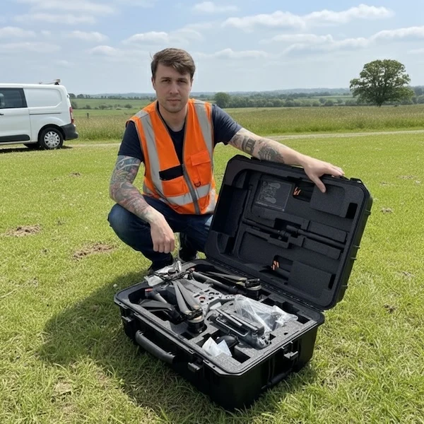
- For any commercial survey, the drone pilot must hold the right CAA competence and carry third-party liability insurance before flying the site
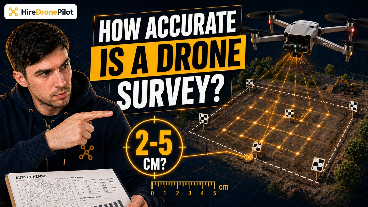
The honest answer to how accurate is a drone survey is that it depends on the survey. A properly planned UK drone flight using RTK corrections and a careful distribution of Ground Control Points can reliably produce centimetre-grade absolute accuracy in the horizontal plane, with vertical accuracy typically slightly looser. A drone flown without any of that will still produce a gorgeous map, but not a map you can take to an engineer.
Below is what actually drives that number, how the drone pilots in our network plan for each accuracy tier, and why the difference between survey-grade and illustrative is worth knowing before you commission the work.
Drone survey accuracy splits into absolute accuracy and relative accuracy, and they are not the same
The first thing to understand is that accuracy is not a single number.
Absolute accuracy is how close the coordinates on the drone map sit to the same coordinates in the real world. It is the answer to the question if I put a GPS receiver on that exact spot, would it agree with the map? Absolute accuracy matters for anything that needs to line up with other geospatial data — Ordnance Survey mapping, property boundaries, existing CAD drawings, buried utilities plans.
Relative accuracy is how correct distances are within the map itself. A drone map can have poor absolute accuracy — the whole map is offset by a metre or two to the north — and still have excellent relative accuracy, meaning the distance from one corner of a building to the next is correct to within a couple of centimetres. Relative accuracy is enough for volumetric calculations, progress monitoring on the same site over time, or comparing two dates on a stockpile.
A lot of confusion in drone survey specs comes from conflating the two. A pitch of centimetre accuracy usually refers to relative accuracy on a modern drone, which is easy. Centimetre-grade absolute accuracy is harder and usually costs more.
Ground Sample Distance is the upper limit on what a drone survey can ever resolve
Every drone survey has a physical ceiling set by the camera and the flight altitude. That ceiling is called Ground Sample Distance or GSD — the real-world size of one pixel on the ground in every image the drone captures.
At a given sensor and focal length, GSD is roughly linear with flight altitude. Fly lower, GSD shrinks, each pixel represents less real-world ground, and the final map resolves finer features. Fly higher, GSD grows, each pixel covers more ground, and fine detail is smoothed out regardless of how good the photogrammetry software is.
The practical rule is simple. Your final survey accuracy can never be finer than your GSD. If your survey needs centimetre-resolution detail on a car park, the flight plan has to produce a centimetre-scale GSD. That might mean flying at forty metres instead of one hundred and twenty, which increases the number of images and the processing time, but it is the only way to get the resolution you need.
A drone flown at the legal ceiling of one hundred and twenty metres will produce a different product to one flown at fifty metres for the same site, and the output specification should always include both the altitude and the GSD.
Ground Control Points are what actually lock the map to real-world coordinates
A drone flight without ground control is essentially a detailed photograph floating in space. Photogrammetry stitches the photos together into a beautifully consistent model, but the model is not reliably anchored to real-world coordinates.
Ground Control Points — GCPs — are how you fix that. A surveyor places clearly visible markers around the site before the flight, then uses a survey-grade GNSS receiver or total station to measure the exact real-world coordinates of each marker. During processing, the photogrammetry software finds those markers in the imagery and locks the entire model to those known positions, correcting any drift and giving you a final product with verifiable absolute accuracy.
Good GCP distribution matters more than pure count. GCPs at the four corners of a site plus one in the middle gives significantly better vertical accuracy than eight GCPs clustered along one edge. On sites with significant elevation change, GCPs at the high and low points are particularly important — vertical accuracy is usually the weaker of the two axes in a drone survey, and GCPs are how you control it.
RTK and PPK drones reduce the need for dense GCP networks, but they do not eliminate them
An RTK-enabled drone — Real Time Kinematic — receives live GNSS corrections from a base station or a correction network while it flies. Every image is geotagged to centimetre-grade accuracy as it is captured, which means the photogrammetry model comes out of processing already close to its final absolute position.
PPK — Post-Processing Kinematic — achieves the same outcome after the flight, using timestamped base-station data to correct the drone's own GNSS log. PPK is more tolerant of patchy radio links during the flight and usually produces slightly cleaner data on long or fragmented flights.
Both techniques let a skilled drone pilot produce centimetre-grade absolute accuracy with a much lighter GCP network — typically one or two check points rather than a full distributed array. For most UK commercial surveys that translates into less time on site, faster turnaround, and meaningful cost savings, but GCPs are rarely removed entirely because check points are what let you actually verify the accuracy claim against ground truth.
Photogrammetry accuracy and LiDAR accuracy are not the same thing
A drone carrying a camera produces a photogrammetry survey. A drone carrying a laser scanner produces a LiDAR survey. Both can hit centimetre-grade accuracy, but they excel in different conditions.
Photogrammetry requires visible surface texture. It struggles with uniform surfaces — a smooth tarmac car park, a calm water body, a fresh snow field — because the software cannot find enough matching features between overlapping images to triangulate precisely. It is also blind under vegetation. If you have a field under leafed-out trees, photogrammetry will map the canopy, not the ground beneath it.
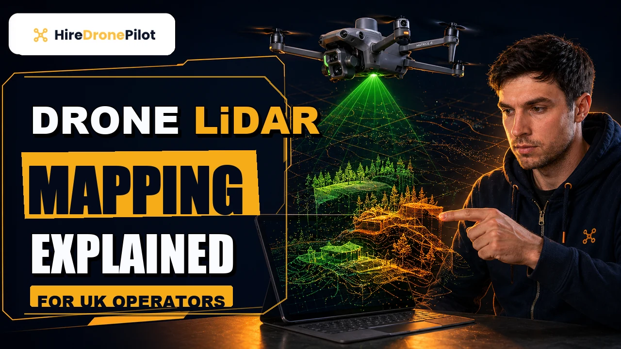
LiDAR solves both problems. The sensor fires hundreds of thousands of laser pulses per second, and some of those pulses find their way through gaps in a tree canopy to the ground below. LiDAR also copes with uniform surfaces because it does not rely on texture. For vegetated terrain, ground-under-canopy mapping, or any survey where the ground surface is not reliably visible from above, LiDAR is usually the right sensor. The piece on drone LiDAR mapping covers the full technology overview, and the cost-side discussion is on drone LiDAR survey cost.
A drone survey is legal commercial work in the UK, so accuracy claims live inside a regulatory frame
The final piece of the accuracy story is legal. Any commercial drone survey in the UK is governed by UK drone law — the Air Navigation Order 2016 and the UAS Regulations — and the Drone and Model Aircraft Code. The drone pilot must hold the relevant CAA competence, the drone operator must hold an Operator ID, and the flight must be insured with third-party liability cover.
For most UK commercial surveys that require flight inside built-up areas or close to buildings and people, the drone pilot is flying under a Specific Category Operational Authorisation. For surveys on open rural land under the Open Category A3 sub-category, the one hundred and twenty metre altitude ceiling and the fifty metre distance from uninvolved people still apply. The CAA's own flying drones for work page is the best single reference, and the where you can fly page covers the sub-category detail.
This matters for accuracy because the flight altitude ceiling is a hard cap. A survey that needs a higher vantage to cover the area in a single flight either needs to be split into multiple overlapping flights or — at scale — moved into the Specific Category with a specific altitude waiver, which is rare.
So the short version of how accurate is a drone survey is this: with RTK corrections, a properly planned flight altitude for your target GSD, and a sensible GCP distribution, centimetre-grade absolute accuracy is routine. Without any of that, the map is useful but illustrative. The spec you sign off on should always name the GSD, the absolute accuracy, and the relative accuracy separately.
If you want the practical cost side of this, the drone survey cost breakdown is the next read. For the detailed LiDAR-specific workflow, the step-by-step LiDAR survey process is the companion piece.
Got a specific survey you want covered — a construction progress site, a volumetric stockpile, a topographical map, a LiDAR corridor under tree canopy? Drop a note to peter@hiredronepilot.uk and I will come back to you directly. If you prefer the video version of this explainer, the comments are open on YouTube.
References
Primary source material for this article is the UK Civil Aviation Authority. External links open in a new tab.
- UK CAA — Flying Drones for Work · commercial drone activity, Operator ID, competence and insurance
- UK CAA — Where You Can Fly · Open Category A1/A2/A3 sub-category distance and altitude rules
- UK CAA — The Drone and Model Aircraft Code (CAP2320) · the one hundred and twenty metre altitude ceiling and the Open Category framework
- UK CAA — PDRA01 Operational Authorisation Overview · the Specific Category authorisation used for most close-range survey work
Peter Leslie
Founder & GVC Drone Pilot
Peter is the founder of HireDronePilot. With thousands of logged commercial flight hours, he writes about drone technology, commercial surveying tactics, and UK aviation compliance.
Connect on LinkedIn