RTK Explained: Real-Time Kinematic Positioning for Drones

Peter Leslie
30 Oct 2025
Key Takeaways
- RTK stands for Real-Time Kinematic — a satellite positioning technique that corrects a drone's location to centimetre-level accuracy while it is still in the air
- It works by comparing observations from a drone-mounted receiver with a reference receiver at a known location, sending the correction over a radio or mobile link
- The headline benefit is that survey-grade positioning arrives during the flight, so the drone operator knows the data is good before landing
- The catch is that RTK depends on a reliable real-time link — lose the link and the drone drops back to uncorrected positioning until the fix is re-acquired
- For urban and well-connected sites, RTK is almost always the right choice — for remote or forested sites, PPK or a hybrid workflow is often the safer call
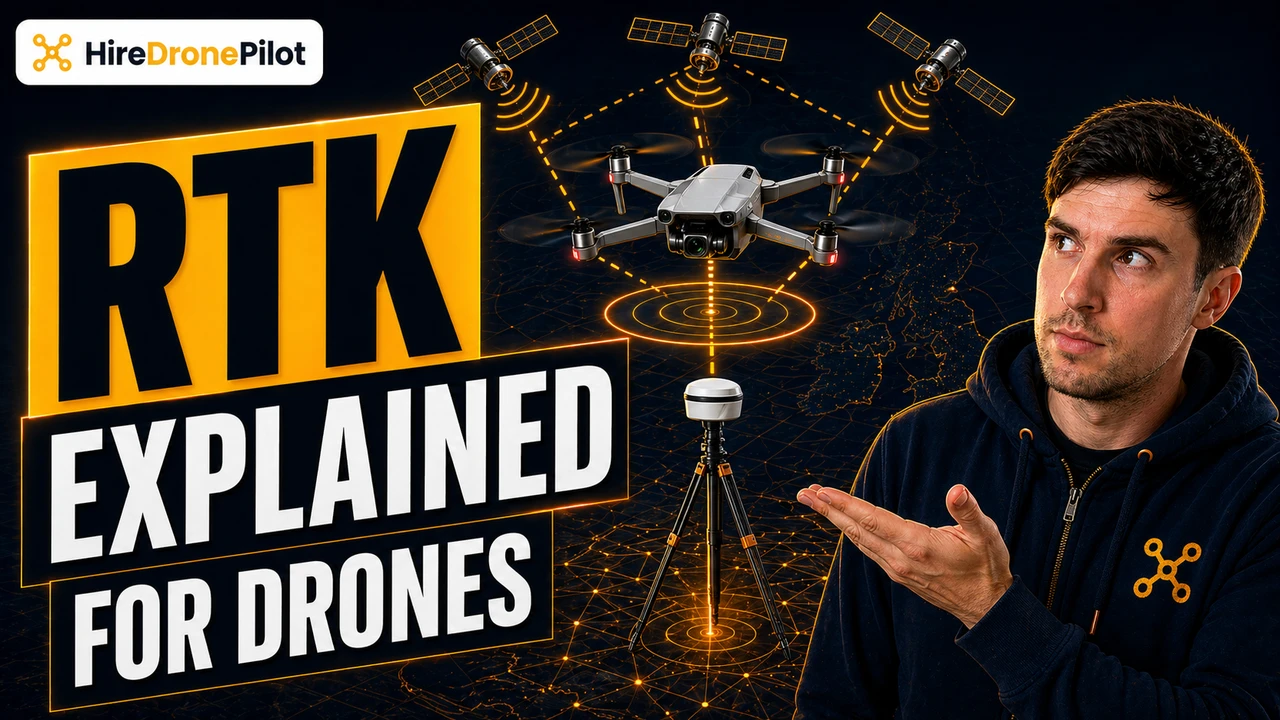
RTK — Real-Time Kinematic — is the positioning technology that lets a drone know where it is, in real time, to within a few centimetres of the truth. Instead of relying on the few-metre accuracy you get from a standard consumer GNSS receiver, an RTK-enabled drone continuously compares what it is seeing against what a reference receiver at a known point is seeing, and applies the correction instantly.
For commercial drone pilots, RTK is the reason an aerial survey can hit the numbers a surveyor or engineer expects. It is also the reason some drone jobs cost three times what a hobby-grade mapping flight costs. Understanding what RTK delivers, and when it fails, is the difference between a deliverable that stands up under audit and one that does not.
RTK corrects a drone's satellite position in real time by comparing it with a reference receiver at a known location
Every GNSS receiver — GPS, Galileo, GLONASS, BeiDou — computes its position by measuring the time it takes for signals to arrive from satellites in orbit. Those signals are affected by the atmosphere, by the receiver's own clock drift, and by a handful of other error sources that combine to push a single-receiver solution out by a few metres.
RTK's trick is to notice that two receivers close together, looking at the same satellites at the same moment, see almost the same errors. If you put one receiver on a known, surveyed point and let it broadcast the difference between the position it is computing and the position it knows it is at, a second receiver nearby can subtract that error in real time. The result is a centimetre-level fix instead of a metre-level one.
On a drone, the rover is the drone itself — or the RTK module fitted to it — and the base is either a portable field station set up over a known mark or a permanent CORS reference station delivering corrections over the internet. The link between base and drone is the lifeblood of the whole workflow. The geometry sits alongside the pixel-side story covered in our Ground Sample Distance explainer.
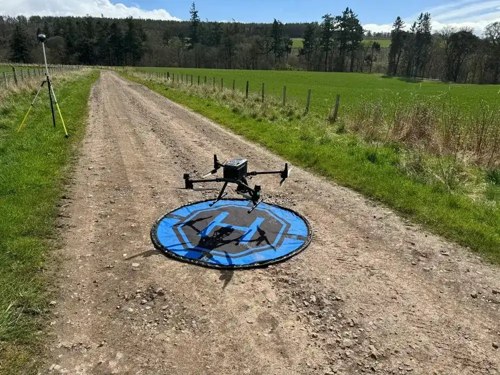
The defining advantage of RTK over PPK is that you see the accuracy in real time, while you can still react to it
Positioning workflows come in two families: real-time and post-processed. They use the same mathematics. The difference is when you run the numbers.
PPK — Post-Processed Kinematic — logs the raw satellite data on the drone and the base, and solves the trajectory afterwards at the desk. RTK runs the correction live, in the air, over a radio link or a mobile connection. The drone's flight app shows a green RTK FIX status as long as the correction is arriving and the solution has converged.
That live visibility is why many drone operators default to RTK for jobs in well-connected areas. If the fix drops during the flight, the drone pilot can land, re-acquire, and restart the mission rather than finding a problem in post-processing. On straightforward urban sites and open commercial land, RTK is almost always the quicker workflow for the same accuracy.
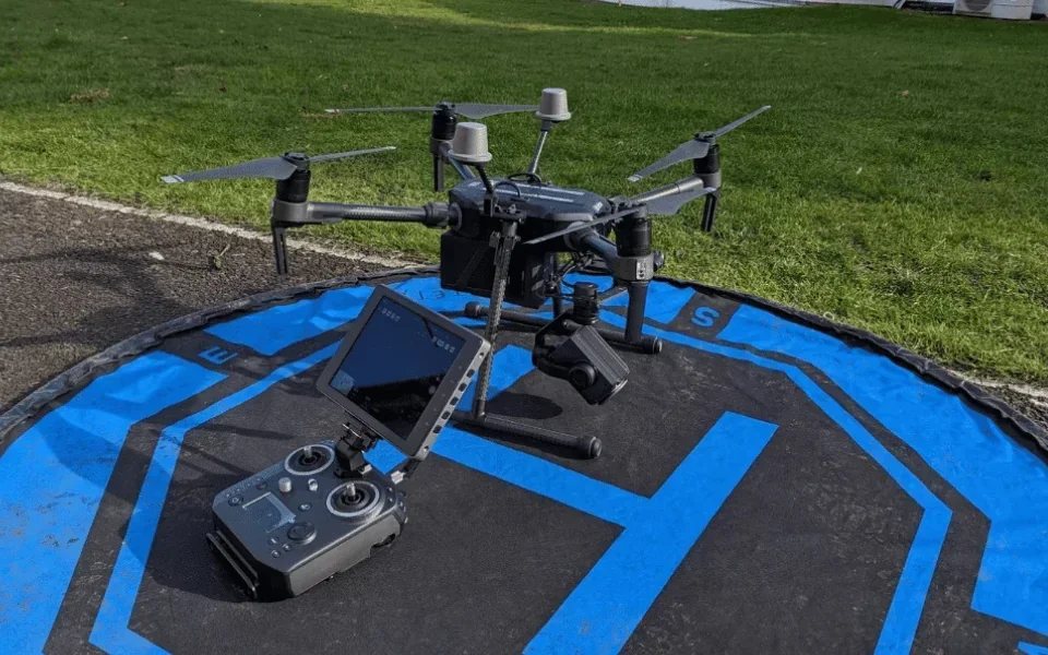
RTK depends on a reliable live link — lose it and the drone drops back to uncorrected positioning
Here is the failure mode every commercial drone operator has to plan around. RTK is only RTK while the correction is actually arriving. If the radio link to a field base drops, or the cellular connection to a network provider drops, or the drone flies behind something that blocks the correction, the fix downgrades.
What the drone reports on the screen goes from a solid RTK FIX — centimetre-accurate — to RTK FLOAT — a partial fix — and eventually to single-point, which is the uncorrected metre-level position every consumer drone uses. The flight carries on. The data logged during the drop is just less accurate than everything around it.
This is the moment where the difference between RTK and PPK stops being philosophical and starts being operational. PPK does not care whether the drone lost a live link during the flight, because it is not using the link. RTK does. On remote sites, forested valleys, or jobs that push the drone over a hill and out of radio range, PPK is often the safer strategy.
When RTK is the right call
| Site type | RTK or PPK |
|---|---|
| Urban, dense mobile coverage, open sky | RTK |
| Open commercial or industrial site within radio range of the base | RTK |
| Remote rural site, poor mobile coverage | PPK |
| Forested valleys or long corridors | PPK |
| High-stakes deliverables where either live reassurance or post-flight rigour matters | RTK + PPK (log both) |
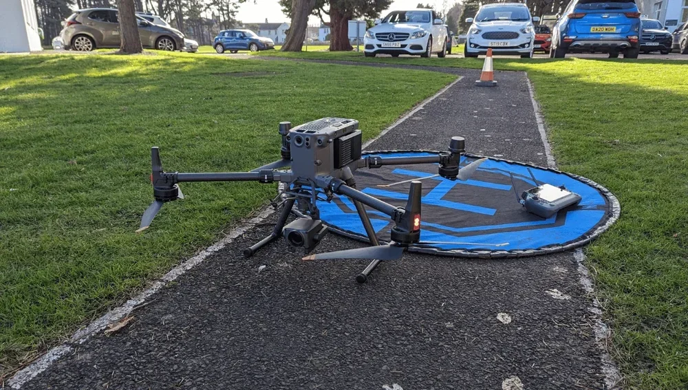
RTK is a positioning upgrade, not an accuracy guarantee — the deliverable still depends on sensors, processing, and ground control
This is the part of RTK that gets oversold. A drone with an RTK fix is not automatically producing survey-grade outputs. What RTK does is give the drone a high-accuracy knowledge of where it was when each photo was taken or each LiDAR pulse went out. Turning that into a correct deliverable is the job of everything downstream.
The camera or scanner has to be calibrated. The lever-arm offset between the antenna and the sensor has to be known. The processing software has to honour the RTK positions during bundle adjustment. And on any job where the output has to match an external reference — say an Ordnance Survey frame or a client's existing site datum — ground control points are usually still required for validation.
RTK tightens the positioning. It does not absolve the drone operator of the rest of the survey discipline. For the full picture on what drives actual output accuracy, our guide to how accurate a drone survey is covers the complete chain. If you are leaning toward LiDAR, the drone LiDAR mapping guide covers the payload side.
Used properly, RTK is one of the most valuable tools in commercial drone surveying — especially for quick-turn jobs where the drone pilot needs to leave site confident the data is already good. Used as a marketing sticker, it is a label on a box that does not necessarily produce survey-grade output. For the regulatory picture that frames every commercial flight, the UK drone laws overview is the hub, and the drone LiDAR survey cost guide is the companion piece on the pricing side.
Got a specific site, a patchy-coverage question, or an RTK-versus-PPK call you want help thinking through? Drop a note to peter@hiredronepilot.uk and I will come back to you directly. If you prefer the video version of this explainer, the comments are open on YouTube.
References
Primary sources for this article. External links open in a new tab.
- Ordnance Survey — OS Net GNSS correction service · UK CORS network underpinning RTK and network-RTK corrections
- UK CAA — UK Regulatory Framework for Drones · Air Navigation Order 2016 and the UAS Regulations
- UK CAA — PDRA01 Operational Authorisation Overview · Specific Category context for survey-grade drone operations
Peter Leslie
Founder & GVC Drone Pilot
Peter is the founder of HireDronePilot. With thousands of logged commercial flight hours, he writes about drone technology, commercial surveying tactics, and UK aviation compliance.
Connect on LinkedIn