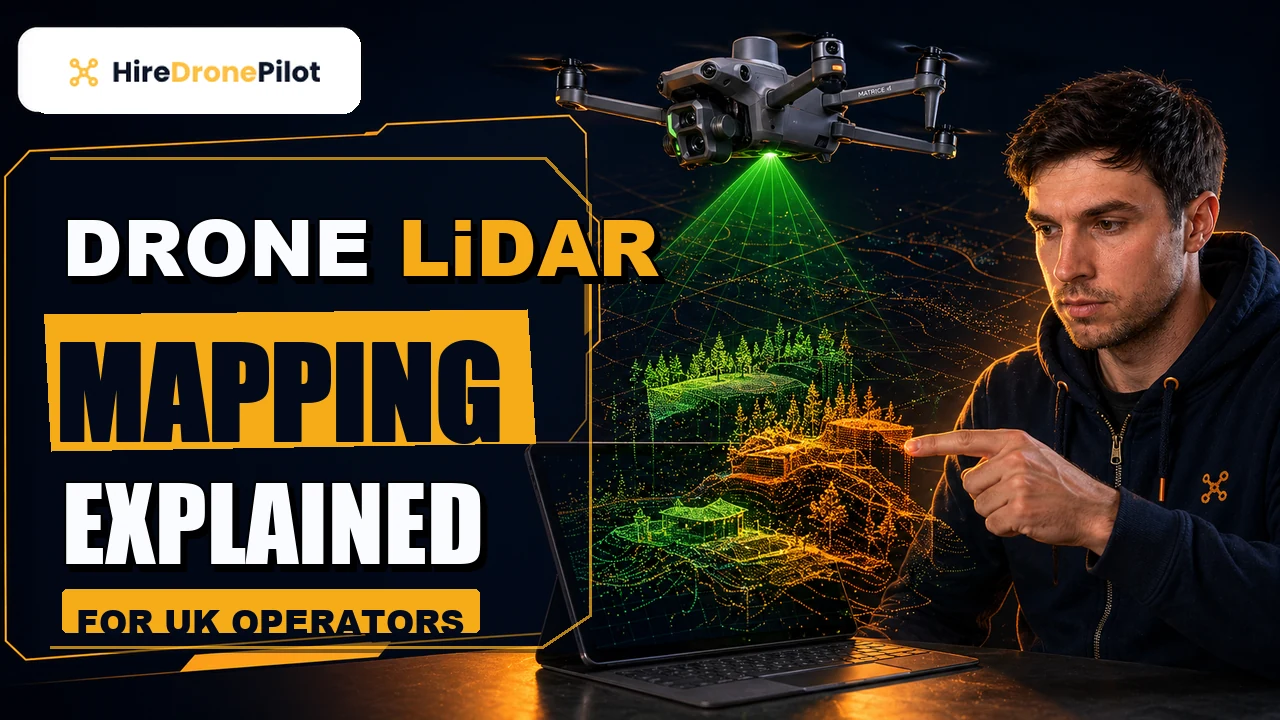
Step-by-Step Drone LiDAR Survey Process for UK Commercial Sites
Peter Leslie
5 Nov 2025

Key Takeaways
- A UK drone LiDAR survey runs in five distinct stages — mission planning, site setup, flight, post-processing and delivery — and accuracy is won or lost in each one
- Mission planning does the heavy lifting: airspace checks, NOTAM review, site boundary, flight altitude, overlap, battery budget and weather window all get locked down before the drone leaves the base
- Site setup establishes the GNSS base station, any Ground Control Points, and the calibration that lets the LiDAR data reach centimetre-grade absolute accuracy
- The flight itself is the shortest phase — autonomous grid passes at a fixed altitude, with the drone pilot monitoring in real time and standing ready to abort
- Post-processing takes the raw point cloud through PPK correction, noise filtering, registration and classification to produce a delivered, verifiable dataset
A UK drone LiDAR survey looks like a ten-minute flight. What you do not see is the several days of planning, ground setup, post-processing and delivery work that wraps around the flight on either side. The flight is genuinely the shortest part of the job, and the drone pilots in our network win or lose a survey on how carefully everything else around it is done.
Below is what a professional drone LiDAR survey actually looks like in practice — in five stages, in the order they happen, with the critical decisions flagged at each step. If you have commissioned a LiDAR survey before and wondered what you were paying for between flight day and delivery day, this is the answer.
Stage 1 — mission planning is where accuracy is won or lost before the drone leaves the base
Planning does the heavy lifting. A mission plan that is tight makes the flight easy, the post-processing predictable, and the delivery clean. A rushed plan costs time and money in every phase after it.
The drone pilot starts by defining the survey boundary in GIS software, typically over a current Ordnance Survey or satellite basemap. From that boundary, the flight altitude, line spacing and overlap all get calculated to hit the target Ground Sample Distance and point density. On a standard UK commercial LiDAR job, that tends to be an altitude of sixty to ninety metres above the ground with at least seventy per cent overlap between adjacent lines, but the specific numbers are tied back to the deliverable accuracy spec. The underlying ceiling on what any image can resolve is the Ground Sample Distance, which sets the minimum feature size every downstream measurement is built from.
The second planning strand is airspace. The drone pilot checks NOTAMs, reviews any Flight Restriction Zones around nearby aerodromes via the CAA where-you-can-fly guidance, and contacts any relevant aerodrome operator if the site sits inside an FRZ. Any permissions get confirmed in writing before flight day.
The third is weather. UK commercial LiDAR surveys are usually booked with a backup weather day built in. The CAA safety guidance specifically flags battery derating in cold conditions as a UK winter factor, and a sensible plan sets wind and precipitation thresholds that the flight will not cross.
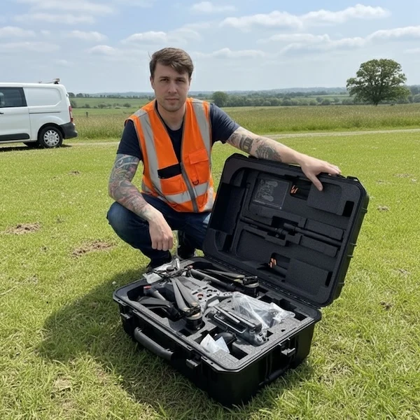
Stage 2 — site setup puts the ground truth in place before anything flies
Setup on site is where the drone pilot turns the plan into something the drone can execute. The first job is the GNSS base station — a precision GPS receiver on a known-coordinate point that provides the corrections later used to push the flight data into centimetre-grade accuracy. On a project that will rely on PPK rather than RTK, the base station also records its own timestamped data throughout the flight.
The second setup task is any Ground Control Points the project requires. On a high-accuracy brief, the drone pilot or an accompanying land surveyor places clearly visible markers across the site, typically one at each corner plus one in the middle, and measures each one with survey-grade GNSS equipment. Those known coordinates are what lock the final point cloud to the real world when the survey goes through processing. The companion piece on drone survey accuracy covers why that matters in depth.
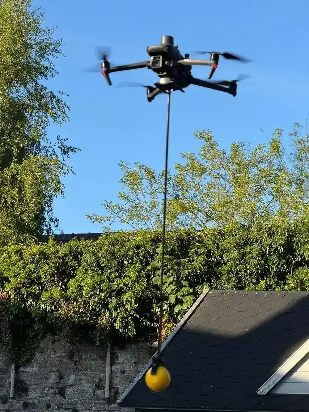
The third is the drone and sensor itself. The LiDAR sensor mounts to the drone, the combined weight and balance is checked, and the flight control system is calibrated so that the IMU, the GNSS receiver and the LiDAR are all talking to each other correctly. A short test scan at low altitude verifies the integration before the main flight.
Stage 3 — the flight itself is the shortest phase and the most boring to watch
The flight is short. On a small-to-medium UK commercial site, total airborne time is often under an hour, split across two or three battery packs. The drone flies the planned grid autonomously while the drone pilot monitors in real time.
Real-time monitoring means watching telemetry — battery state, GPS fix quality, sensor health, link strength, altitude and position — on the controller and making the call to abort cleanly if anything deviates from spec. The drone pilot is not flying the drone minute-by-minute; they are standing ready to stop the flight if conditions change, if a helicopter appears in the area, or if the sensor reports a fault.
While the drone is in the air, the LiDAR fires laser pulses at hundreds of thousands per second. Each pulse records a range and a return intensity. The raw data is stored on the onboard drive in a format that the processing software will ingest later. On a well-planned flight, there is nothing exciting to watch from the ground — which is exactly what you want.
Stage 4 — post-processing is where the raw data becomes a deliverable
Once the drone has landed and the data has been transferred off the drone, post-processing begins. On a UK commercial LiDAR survey, standard turnaround from flight to delivery is five to ten working days, and most of that time is in this phase rather than the flight.
The first step is PPK correction. The drone's own GNSS track is combined with the base station's timestamped data to produce a centimetre-grade, trajectory-corrected flight path. Every LiDAR return is then reprojected using that corrected trajectory, which is what turns an illustrative point cloud into a survey-grade one.
Next comes cleaning and classification. Noise and outliers are filtered, isolated returns that are obviously not real geography are removed, and the remaining points are classified — ground, low vegetation, medium vegetation, high vegetation, buildings, linear assets, drainage features, depending on what the deliverable brief asked for. The more detailed the classification, the more specialist labour the project requires, which is why deliverable specification is such a significant cost driver as covered on LiDAR survey cost.
Finally, the classified point cloud is exported into the agreed deliverable formats — LAS, LAZ, PLY, CAD-ready contour and surface files, BIM-compatible models where requested. A quick internal quality-control check cross-references the classified deliverable against the Ground Control Points to verify the absolute accuracy claim before the package is handed to the client.
Stage 5 — delivery, documentation and follow-up close the survey out properly
Delivery is not just about sending files. A professional UK drone LiDAR survey ships with a written report that documents the methodology, the accuracy achieved, and the known limitations of the data. That report is what turns the deliverable into something a third party — engineer, contractor, architect, insurer — can use without needing to interrogate the drone pilot later.
The documentation typically covers the flight plan, the altitudes flown, the weather conditions on the day, the equipment used, the Ground Control Points and their measured coordinates, the processing workflow, the accuracy verification, and any caveats about data that did not meet the spec. For anything involving a downstream engineering decision, that paper trail is what lets other professionals accept the data at face value.
The final step is client follow-up. A competent drone pilot checks that the deliverable loads correctly into the client's preferred software, answers any interpretation questions, and documents any changes requested during the agreed revision window. Scope creep — requests outside the original brief — should be raised explicitly as new work rather than quietly absorbed, and the detailed brief set at quote stage is what makes that conversation straightforward.
Every stage sits inside UK drone law, and the drone pilot has to hold the paperwork to match
Everything above assumes a professional commercial drone operator meeting UK drone law. UK drone law under the Air Navigation Order 2016 and the UAS Regulations applies to every commercial survey in the UK. The drone pilot must hold the relevant CAA competence, the drone must carry an Operator ID, and the flight must be insured with third-party liability cover.
For most UK commercial LiDAR work, the drone pilot holds a GVC and operates under a Specific Category Operational Authorisation — typically PDRA01. The CAA's own page on flying drones for work is the single best reference for what that means in practice. Before you commission any LiDAR survey, ask for the Operational Authorisation and the third-party liability insurance certificate. A competent drone operator will have both ready before you ask.
For the underlying technology explainer on what LiDAR actually is and when it beats photogrammetry, the piece on drone LiDAR mapping is the full background. For cost planning, the UK drone survey cost breakdown covers pricing across every survey type, not just LiDAR.
So if you have ever wondered what happens on a UK drone LiDAR survey between the moment you sign the quote and the moment the deliverables land in your inbox, that is it. Plan hard. Set up carefully. Fly cleanly. Process rigorously. Deliver fully documented.
Got a specific LiDAR survey you want walked through — a corridor, a construction site, a solar farm, a forestry block? Drop a note to peter@hiredronepilot.uk and I will come back to you directly. If you prefer the video version of this explainer, the comments are open on YouTube.
References
Primary source material for this article is the UK Civil Aviation Authority. External links open in a new tab.
- UK CAA — Flying Drones for Work · commercial drone activity, Operator ID, competence and insurance framework
- UK CAA — Where You Can Fly · Flight Restriction Zones and the airspace check that sits inside mission planning
- UK CAA — Safety Advice for Drone Operations · weather, winter flying and battery derating factors relevant to mission planning
- UK CAA — PDRA01 Operational Authorisation Overview · the Specific Category authorisation most commercial UK LiDAR work operates under
Peter Leslie
Founder & GVC Drone Pilot
Peter is the founder of HireDronePilot. With thousands of logged commercial flight hours, he writes about drone technology, commercial surveying tactics, and UK aviation compliance.
Connect on LinkedIn