PPK Explained: Post-Processed Kinematic for Drone Surveys

Peter Leslie
30 Oct 2025
Key Takeaways
- PPK stands for Post-Processed Kinematic — the drone logs raw satellite observations during the flight and solves them against a reference base station after landing
- It delivers the same survey-grade positioning as RTK, without needing a live radio or mobile link from drone to base
- PPK is the workflow of choice for remote sites, forested valleys, and anywhere signal to the drone cannot be guaranteed
- The trade-off is that you do not know whether the fix is clean until you are back at your desk — the data is only as good as the base station and the processing
- On mixed-connectivity jobs, many operators run RTK and PPK together — RTK for live monitoring, PPK as the authoritative post-flight solve
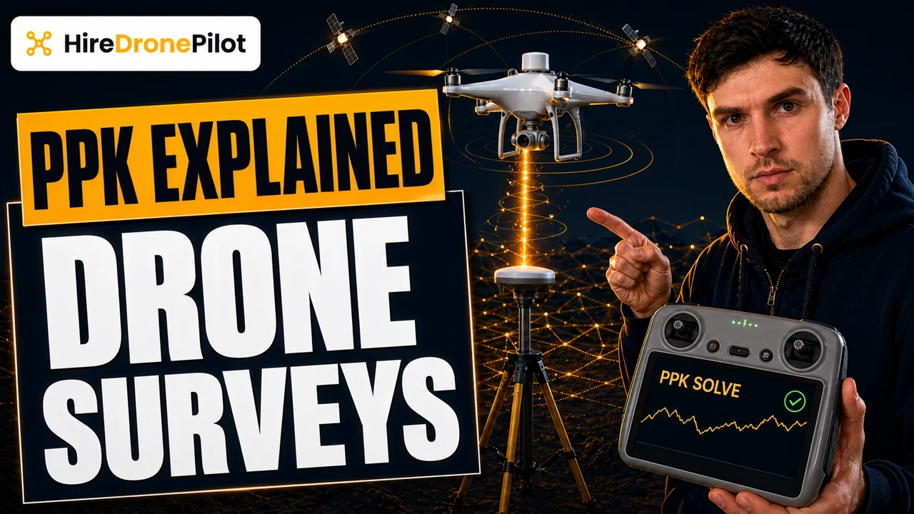
PPK — Post-Processed Kinematic — is the workflow that solves drone positioning accurately after the flight rather than during it. The drone and a reference base station both log raw satellite observations as the mission runs. Once the drone is back on the ground, specialist software compares the two logs and computes a corrected flight trajectory that is accurate to the centimetre, sometimes better.
For commercial drone pilots, PPK is the answer to a specific and frequent problem: working on sites where a live radio or mobile data link to the drone cannot be guaranteed. Understanding when PPK is the right call, and when the live-corrected RTK approach is fine, is one of the hallmarks of a commercial operator who plans jobs properly.
PPK logs raw satellite data on both the drone and the base, then solves the trajectory once the flight is over
Start with what GPS on its own can and cannot do. A standard consumer GNSS receiver — the kind that sits in a phone or in a recreational drone — is accurate to a couple of metres at best. That is fine for navigation, utterly inadequate for survey.
The physics behind PPK are the same physics behind RTK. Two GNSS receivers logging the same satellites at the same moment, from different known or unknown positions, can be used to compute the vector between them down to the centimetre. The only difference is when you do the maths. RTK does it live, in the field, over a radio or cellular link. PPK does it afterwards, in software, once the two logs are sitting side by side on a computer.
Mechanically, that means the drone has to record continuous raw satellite observations during the flight, and a reference receiver has to do the same on the ground — either your own base set up over a known point, or a permanent CORS station whose logs you download. The processing software then aligns the two timelines and produces a corrected position for every instant the drone was in the air.
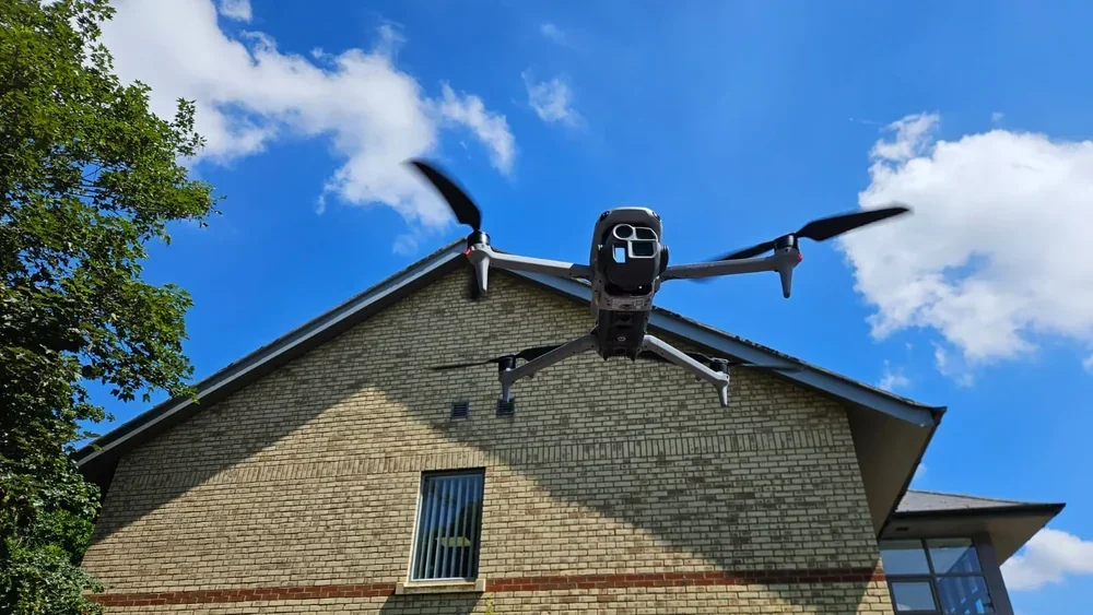
The defining advantage of PPK is that it does not need a live link between drone and base
On paper RTK and PPK can deliver the same positional accuracy. In the field they do not behave the same, because RTK depends on a reliable real-time connection from the drone to its correction source. Lose that link, even briefly, and the drone drops back to uncorrected positioning until it recovers.
PPK does not have that failure mode. The drone simply logs satellite data and keeps flying. Obstructions, range limitations, and dropouts that would have broken an RTK fix have no bearing on a PPK solve, because the correction is computed later against an independent reference log.
That is why PPK is the workflow of choice on remote sites, forested valleys, linear pipeline corridors, and long-range flights. Anywhere the drone has to operate outside reliable radio or cellular coverage, PPK is the safer accuracy strategy.
RTK versus PPK at a glance
| Consideration | RTK | PPK |
|---|---|---|
| When positioning is corrected | In flight, live | After landing, in software |
| Needs live link to base | Yes | No |
| Behaviour on signal loss | Drops to uncorrected positioning | Unaffected — raw data already logged |
| Site suitability | Urban, open, well-connected sites | Remote, forested, long-range, offshore |
| Desk-side workload after flight | Minimal | Processing required |
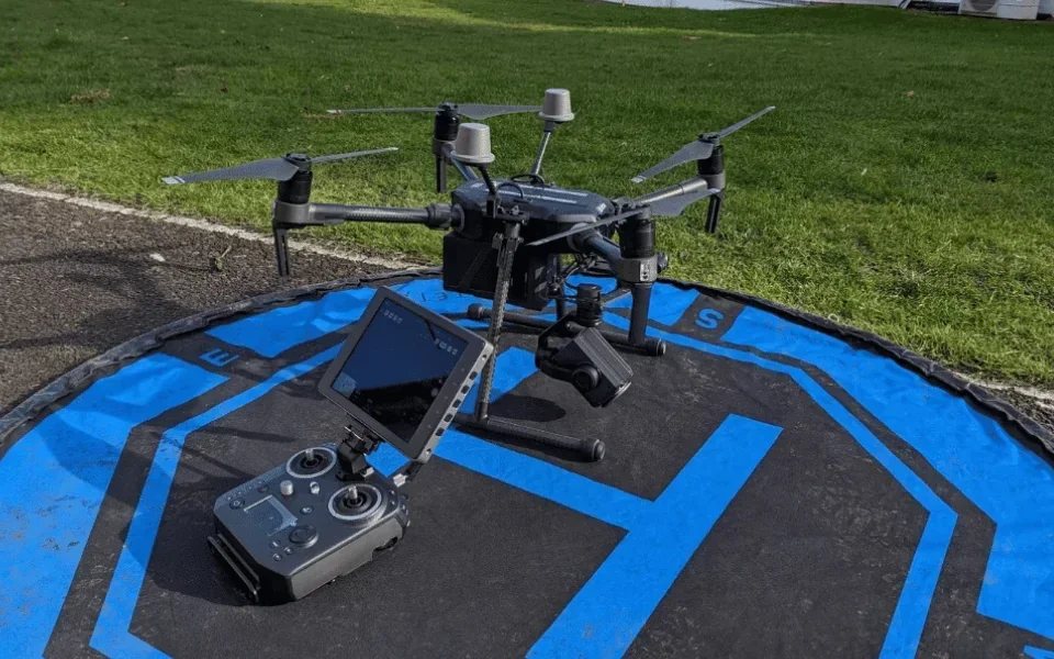
The PPK workflow has four moving parts that every operator has to get right
PPK in practice is not one piece of kit, it is a short chain of deliverables. Break any link and the solve is worse than useless — it looks right and is wrong.
First, the drone logs raw observations, usually at five or ten hertz, across every in-flight second. Second, the reference log runs in parallel — either a field base station you set up over a surveyed mark, or a national CORS network log downloaded afterwards for the correct time window. Third, the drone's camera or scanner events are time-stamped precisely to the GNSS clock, so each captured image or pulse can be tied to a known position. Fourth, the processing software fuses all three to produce the corrected trajectory and event positions.
Each step has its own failure modes. A base station set up over the wrong mark. A camera event timing offset that creeps in. A missing second of satellite data. This is why PPK is often called the more forgiving workflow and the less forgiving discipline — the live link cannot ambush you, but the desk work will, if the logging was sloppy.
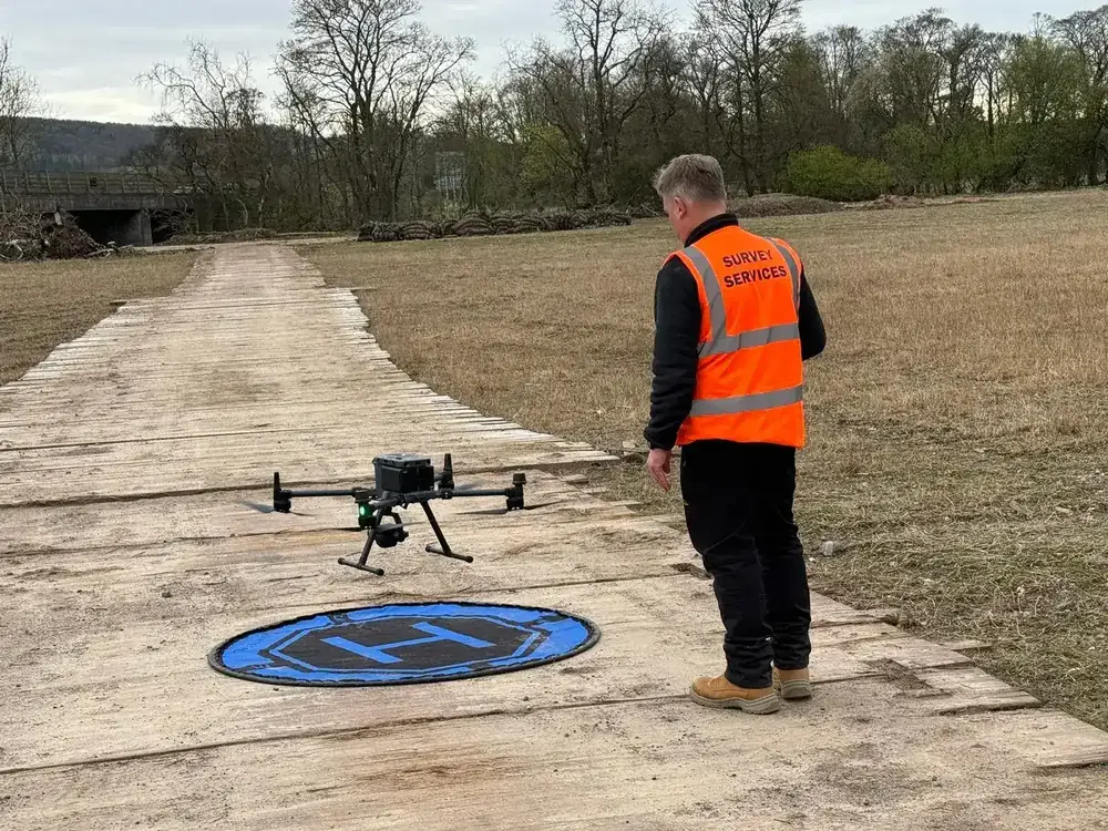
PPK pairs naturally with LiDAR and with long-range photogrammetry, and it earns its keep on the awkward sites
Most drone LiDAR rigs are PPK-first by design. LiDAR is typically flown on longer, farther-from-home missions over awkward terrain where radio-corrected RTK is not a safe bet, and the processing pipeline already involves hours of desk work — adding a PPK solve barely changes the timeline.
For photogrammetry, the decision is finer. If you are mapping an urban site with full mobile coverage, RTK is quicker. If you are mapping a Welsh valley, a remote railway corridor, or anywhere the drone has to go over a hill and out of line-of-sight from the base, PPK is the more defensible choice. For the cost picture on larger LiDAR jobs where PPK is almost always the default, see our drone LiDAR survey cost breakdown. A growing number of commercial systems log PPK data automatically even when RTK is running, on the principle that you get to choose at the desk rather than in the field.
PPK is also where the quality of the reference receiver starts to matter. A cheap base station will give you a cheap solve. A surveyed mark with a calibrated receiver, or a CORS network station tied to the national reference frame, will give you the centimetre result the deliverable needs. For an end-to-end view of how positional accuracy combines with pixel resolution, see our explainer on Ground Sample Distance and the broader drone survey accuracy guide.
Used properly, PPK turns an operationally risky flight into a reliably survey-grade dataset. Used badly, it gives you centimetre-labelled outputs that are metres wrong. The difference is discipline, kit, and patience at the desk — not the marketing on the drone. For the regulatory framing behind any survey-grade flight, our UK drone laws overview is the hub article.
For the bigger picture on how PPK fits alongside other survey workflows, the drone surveys page is the place to start. Got a remote site, a long corridor, or a tricky PPK question? Drop a note to peter@hiredronepilot.uk and I will come back to you directly. If you prefer the video version of this explainer, the comments are open on YouTube.
References
Primary sources for this article. External links open in a new tab.
- Ordnance Survey — OS Net GNSS correction service · UK CORS network used as a reference for PPK processing
- UK CAA — UK Regulatory Framework for Drones · Air Navigation Order 2016 and the UAS Regulations
- UK CAA — PDRA01 Operational Authorisation Overview · Specific Category context for survey-grade drone operations
Peter Leslie
Founder & GVC Drone Pilot
Peter is the founder of HireDronePilot. With thousands of logged commercial flight hours, he writes about drone technology, commercial surveying tactics, and UK aviation compliance.
Connect on LinkedIn