GSD Explained: The Figure Every Drone Survey Is Judged On

Peter Leslie
30 Oct 2025
Key Takeaways
- Ground Sample Distance is the real-world size of one pixel in a drone image — a two-centimetre GSD means each pixel represents a two-centimetre square on the ground
- GSD is a function of flight altitude, camera focal length, and sensor size — fly higher with the same camera and your GSD gets coarser
- It is the single figure that predicts survey resolution, map accuracy, flight time, and ultimately cost — every serious drone survey brief specifies a target GSD
- GSD and absolute accuracy are not the same thing — a two-centimetre GSD does not guarantee two-centimetre accuracy on the ground, that requires RTK, PPK, or ground control points
- The right GSD for a job is the coarsest one that still meets the deliverable — chasing millimetre pixels on an open quarry wastes flight time and processing budget
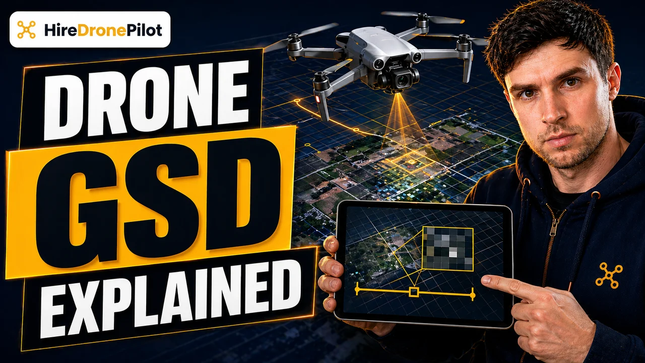
Ground Sample Distance, or GSD, is the number that every drone mapping brief is quietly built around. It is the real-world size, on the ground, of a single pixel in the imagery your drone captures. If a survey is flown at a GSD of two centimetres, each pixel in the orthomosaic represents a two-centimetre-by-two-centimetre patch of ground.
For commercial drone pilots running photogrammetry, GSD is the lever that controls almost everything. It sets how much detail the output shows, how many images you need to fly, how long the processing takes, and — directly or indirectly — how much the client pays. Understand it, and every other survey decision becomes easier.
GSD is the real-world size of one pixel in your drone imagery, and it is the single most useful figure in a survey spec
Start with the mental model. The sensor inside a drone camera is divided into millions of pixels. When the drone is in the air, each pixel records the light coming back from a particular patch of ground below. GSD is simply how big that patch is, measured in the real world.
A drone flown with a one-centimetre GSD produces imagery where every pixel represents a one-centimetre square of ground. A flight at five centimetres per pixel produces imagery five times coarser. Lay the two orthomosaics side by side and the difference is immediate — tighter GSD means you can read fine detail, detect smaller features, and measure at a finer scale.
This is why every serious drone survey brief leads with GSD. It is the figure that tells a downstream engineer, planner, or asset manager exactly what they can and cannot see in the output, before a single image has been flown.
GSD is driven by flight altitude, focal length, and sensor geometry — and altitude is almost always the variable you change
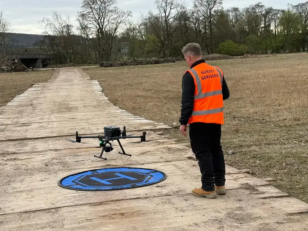
Under the hood, GSD comes out of a short piece of geometry. Three things govern it: how far away the sensor is from the ground, how long the lens's focal length is, and how big each photosite on the sensor is. Fly higher with the same camera and every pixel sees a larger patch of ground, so the GSD gets coarser. Fly lower and the GSD tightens.
For a given camera, the formula simplifies to one usable idea: GSD scales almost linearly with altitude. Double the altitude and you roughly double the GSD. That is the lever most drone operators use in mission planning, because it is the only one you can change in the field without swapping hardware.
What changes GSD in practice
| Variable | Effect on GSD |
|---|---|
| Fly higher | Coarser (larger number) |
| Fly lower | Finer (smaller number) |
| Longer focal length lens | Finer |
| Larger sensor pixels | Coarser |
| Higher-resolution sensor (same physical size) | Finer |
There is a hard regulatory ceiling to all of this. Open Category flights in the UK are capped at a 120-metre altitude limit, and the survey-drone equivalents you see day-to-day fly well inside that figure. Pushing higher is not just a processing choice, it is a legal one.
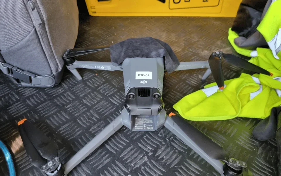
GSD sets the whole cost curve of a drone survey, not just the visible detail
A brief that asks for a one-centimetre GSD on a twenty-hectare site is not the same job as a five-centimetre brief. Tighter GSD means lower flight altitude, which means each photo covers less ground, which means you need many more photos to cover the same area.
More photos means longer flight time, more batteries, more flight lines, and more data to process. The processing cost is not linear either — double the number of images and the photogrammetric solver has dramatically more tie points to chase, not twice as many.
That is why experienced drone operators push back gently when a client specifies a GSD tighter than the deliverable actually needs. A stockpile volumetric survey does not need the same pixel size as an industrial plant inspection. The right GSD is the coarsest one that still meets the output requirement. Anything finer adds money to the quote without adding value to the deliverable.
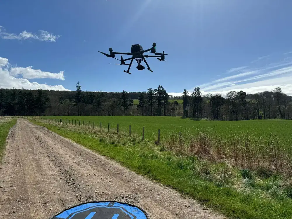
GSD is the resolution figure, not the accuracy figure — do not confuse the two
This is the single biggest misconception around GSD, and it is worth slowing down on. GSD tells you how fine the pixels are. It does not tell you where those pixels sit on the Earth.
A two-centimetre GSD survey without proper positioning can easily be metres off the ground truth, even though the individual pixels are small. To convert sharp pixels into survey-grade coordinates you need either RTK or PPK positioning on the drone, or ground control points surveyed into the same reference frame, or both.
GSD is how fine the imagery is. Absolute accuracy is how correct it is. You need both.
This is also why a lot of cheap drone mapping outputs look great on screen and fail under a proper audit. A three-centimetre GSD mosaic that drifts half a metre sideways over the site is useless for anything involving real-world coordinates. Our explainer on how accurate a drone survey actually is digs into the difference between pixel resolution and positional accuracy in more detail.
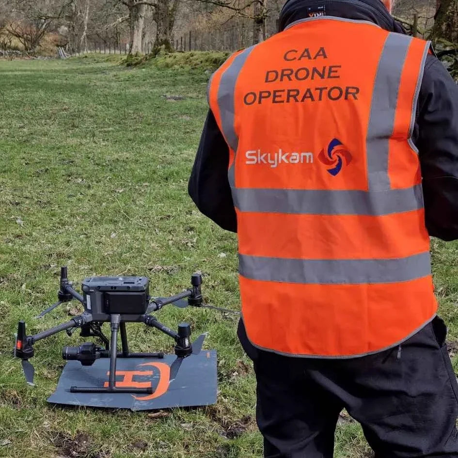
Pick your GSD to match the deliverable, not the other way around
A sensible way to design a mapping mission is to start at the deliverable end and work backwards. If the client wants to measure cracks a few millimetres across on a concrete structure, you need a millimetre-scale GSD, which means flying very close to the asset. If the client wants a land-use orthomosaic over a couple of hundred hectares, a three-to-five-centimetre GSD is usually plenty, and flying tighter will burn hours for no gain.
Modern flight planning software makes this simple — you set a target GSD and it computes the altitude automatically for the camera fitted. What matters is that the drone operator and the client have the same target written down before the flight, so the quote, the flight plan, and the eventual deliverable all describe the same job.
GSD is not glamorous, and it rarely makes it into the marketing copy. But it is the line in the survey brief that decides whether the final output earns its budget. For the broader picture on how GSD fits alongside LiDAR mapping and end-to-end workflows, our UK drone laws explainer covers the regulatory side, and our drone LiDAR survey cost guide covers the budget side.
Got a specific site, a tricky deliverable, or an unusual brief you want covered? Drop a note to peter@hiredronepilot.uk and I will come back to you directly. If you prefer the video version of this explainer, the comments are open on YouTube.
References
Primary sources for this article. External links open in a new tab.
- USGS — Ground Sample Distance definition · plain-language definition of GSD used in remote sensing
- UK CAA — The Drone and Model Aircraft Code (CAP2320) · 120m altitude ceiling that constrains survey altitudes
- UK CAA — UK Regulatory Framework for Drones · Air Navigation Order 2016 and the UAS Regulations
Peter Leslie
Founder & GVC Drone Pilot
Peter is the founder of HireDronePilot. With thousands of logged commercial flight hours, he writes about drone technology, commercial surveying tactics, and UK aviation compliance.
Connect on LinkedIn