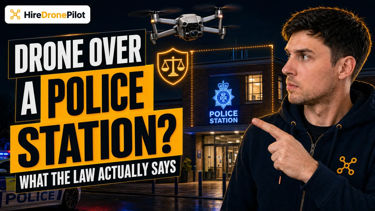
Drone Over a Police Station UK: What the Law Actually Says
Peter Leslie
16 Apr 2026
Key Takeaways
- No UK statute creates a bespoke no-fly zone over a police station the way prison-specific legislation does for prisons
- The standard Drone Code distance rules — 50 metre uninvolved-persons buffer, 150 metre residential and commercial buffer in A3, and the 120 metre altitude ceiling — are usually what bite first
- Some police sites sit inside a Flight Restriction Zone or controlled airspace, where a geo-awareness check and airspace permission are not optional
- The Air Navigation Order 2016 reckless and negligent endangerment offences are what police actually enforce when a flight goes wrong
- Purposive filming of identifiable officers or members of the public triggers UK GDPR and the Data Protection Act 2018 on top of the aviation rules
The question lands in my inbox every few weeks. Can I fly a drone over a police station in the UK? The short answer is that there is no police-station-specific prohibition written into UK aviation law. What there is, instead, is a stack of overlapping frameworks — the Drone Code, the Air Navigation Order 2016, airspace restrictions, police counter-drone powers, and UK data-protection law — and between them they usually make the flight unlawful in practice.
This article walks through each of those frameworks in turn, so that when you look at the police station at the end of your street, you know which rule actually applies and which rule is myth.
No UK statute creates a bespoke no-fly zone over a police station the way prison legislation does for prisons
Prisons are a useful comparison point because Parliament has given them their own specific protection. Fly a drone over or into a UK prison and you are not just breaking the Drone and Model Aircraft Code — you are committing a specific prison-related offence that carries its own penalties on top of the aviation ones.
Police stations do not have an equivalent bespoke statute. A station in the middle of a town is legally the same kind of building as the bank next door or the office block opposite. What applies to it applies to any other building: the standard Open Category distance rules, the airspace the building happens to sit in, and the general endangerment offences in the Air Navigation Order 2016.
That does not mean the flight is free of consequences. It means the consequences come from five different places rather than one clearly labelled one, and that is exactly what trips people up. For the bigger legal picture, start with the UK drone laws hub; for the prison analogue, see the dedicated drones over UK prisons explainer.
The Drone Code distance rules are the real constraint when you fly near a police station
Most UK police stations sit inside the built-up centre of a town. That single fact does more work than any police-specific rule, because the Open Category sub-category you are allowed to fly in is decided by the class mark or weight of your drone, not by what the building is used for.
If your drone is sub-250 grams or carries a C0 / C1 class mark, you are flying in A1 (Over People). You can operate in residential and commercial areas, you can fly closer than 50 metres horizontally to uninvolved people, and you can overfly people, but you cannot fly over crowds and you cannot go above 120 metres. For most drone pilots asking this question, the sub-250 gram route is what actually lets the flight happen legally.
If your drone is heavier than that and has no A2 class mark, you are in A3 (Far from People). That category forces a 50 metre horizontal buffer from any uninvolved person, a 50 metre buffer from any individual building you do not control, and a 150 metre buffer from any residential, commercial, industrial or recreational area. A town-centre police station sits inside all three of those limits by definition, which is why A3 drone pilots simply cannot make the flight work.
What each Open sub-category allows near an urban police station
| Sub-category | Typical drone | Urban police-station flight possible? |
|---|---|---|
| A1 (Over People) | Under 250g, C0, C1 | Yes in principle — no crowds, under 120m, out of restricted airspace |
| A2 (Near People) | C2 with A2 CofC | Yes with reduced 30–50m buffers — subject to A2 CofC conditions |
| A3 (Far from People) | C2 without A2 CofC, C3, C4, legacy under 25kg | No — 150m built-up-area buffer is the blocker |
The Visual Line of Sight rule sits on top of all of this. You must be able to see the drone directly, with your own eyes, at all times — a point worth reading the VLOS explainer on before you try to hide behind a building to stay inconspicuous.
Some police headquarters sit inside a Flight Restriction Zone or controlled airspace where permission is a hard requirement
A town-centre station is one thing. A force headquarters on the edge of a city, next door to a regional airport or a helicopter pad, is another. UK airspace is layered: Flight Restriction Zones extend around protected aerodromes, temporary restrictions are published as NOTAMs for events and operations, and swathes of the south-east and the approaches to every major city sit inside controlled airspace that requires clearance before a drone can enter.
Police helicopter bases, air-support units, and custody suites with attached hospital transfer facilities will often sit under one of those layers. A geo-awareness check using your drone manufacturer's app or a dedicated tool is the minimum starting point, and it is the step that separates drone pilots who fly legally from drone pilots who find out the hard way.
If the station is inside restricted airspace and you do not hold the required authorisation, the flight is illegal regardless of everything else in this article. For the specialist route, our CAP 722 explainer walks through how the CAA frames those permissions.
The Air Navigation Order 2016 carries the offences that actually get enforced when a flight goes wrong
Once you get past the distance rules and the airspace check, the final layer is the Air Navigation Order 2016. The ANO is where the criminal offences live, and it applies to every drone flight in the UK regardless of category or class mark. Two offences matter most for this article.
The first is acting in a manner likely to endanger an aircraft — recklessly or negligently. A drone drifting near a police helicopter approach or into the path of an air ambulance transfer at a custody suite lands you squarely inside that offence, and the maximum sentence is five years.
The second is causing or permitting an unmanned aircraft to endanger any person or property. A flight that crashes into the station roof, into a patrol car, or into the members of the public queueing outside the front counter is the obvious example, but the offence does not require a collision — the endangerment itself is enough.
The CAA's own guidance for police forces is explicit: Air Navigation Order 2016 requirements still apply, including the duty not to recklessly or negligently endanger an aircraft or any person or property.
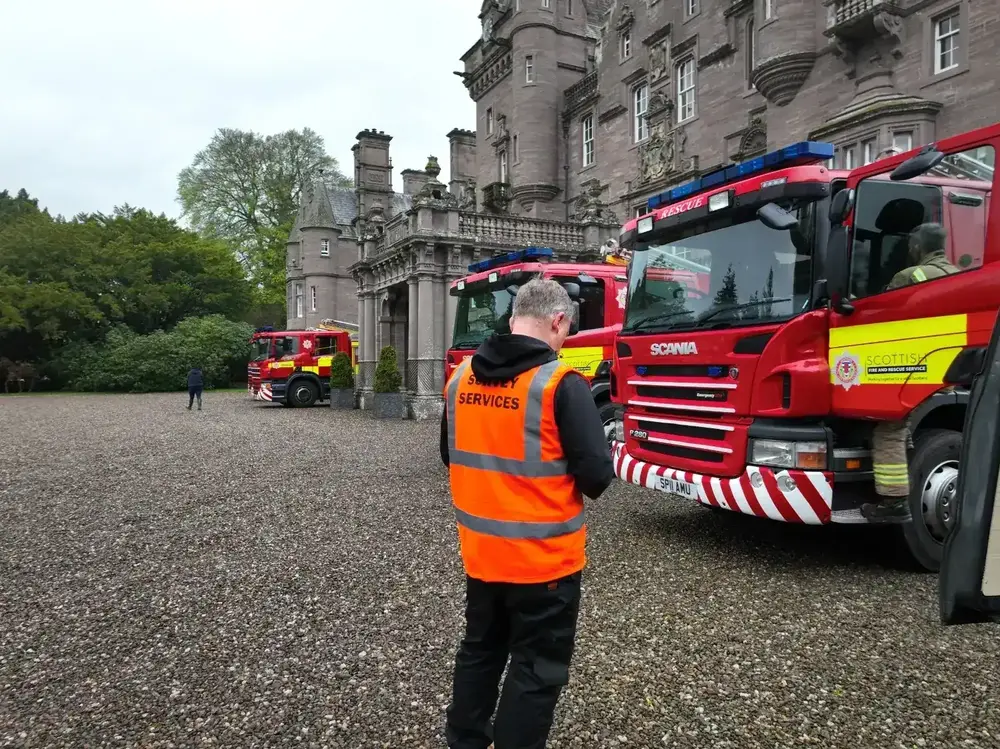
Police have specific stop, search, land-the-drone, and seize powers when they believe a drone is being flown unlawfully
The CAA is clear on who enforces drone law. The Police are responsible for taking enforcement action when it is believed that the requirements of the law have not been met. That applies whether the station you are flying over is a witness to the offence or the setting for it.
Enforcement is scaled to the seriousness of the breach. Penalties range from warnings, through confiscation of the drone, through to imprisonment for the most serious offences. In practice an officer who stops you will want to see your Flyer ID, your Operator ID, and your reason for being there; an officer who believes the flight is a threat has the power to require you to land, to seize the drone, and to pursue a prosecution.
It is also worth knowing where you sit on the reporting side. The CAA directs members of the public with concerns to call 101 for non-emergency reports and 999 where a drone is an immediate threat to safety or security. If you are flying lawfully and a member of the public calls 101 because they do not like the look of your drone near a police station, the station will almost certainly prefer the conversation to start at the front counter rather than on the pavement.
Filming identifiable officers or members of the public triggers UK data-protection law on top of the aviation rules
Aviation law is only half the story. The moment your camera records identifiable people — officers, custody-suite arrivals, or members of the public at the front counter — you are processing personal data, and UK GDPR and the Data Protection Act 2018 apply to you in exactly the same way they apply to anyone holding a camera phone.
The CAA's own privacy guidance confirms the principle: Drone users must comply with the same privacy regulations as anyone who uses a camera or recording device. For casual family flying, the enforcement bar is high. For anything with a commercial or surveillance purpose, it drops sharply, and a police station is close to the worst possible subject to pick given the sensitivity of custody and investigation work.
If the footage is ever published — to social media, to YouTube, to a client — the scrutiny hardens again. Our drone photography service page sets out how vetted drone operators handle these questions before the flight happens.
There are professional routes to filming a police facility but they are rarely quick
Legitimate work over and near police property does happen. News teams cover incidents, architects survey listed buildings, and forces commission their own aerial footage for recruitment and community engagement. The route to that work runs through the force's press or communications team, not through the CAA directly.
Expect the conversation to involve a GVC-qualified drone operator, a site-specific risk assessment, proof of third-party insurance, written permission from the force, and — where the airspace demands it — an Operational Authorisation. Those permissions exist precisely so that trained drone pilots can handle sensitive sites safely, but they are not the sort of thing a force turns around in a day.
If you do not have the qualifications and the paperwork, the right move is to not fly and to pass the brief to someone who does. The station is still there next week.
So the honest answer to the police-station question is that there is no single rule to point at — there is a stack of five, and each has to be cleared independently before the flight is legal. The Drone Code decides how close you can get. The airspace decides whether you can enter at all. The ANO 2016 decides what happens when it goes wrong. Police counter-drone powers decide what happens at the scene. And UK data-protection law decides what you can legally do with the footage.
Got a specific station in mind, or a specific shot a client is asking for? Drop a note to peter@hiredronepilot.uk and I will come back to you directly. If you prefer the video version of this explainer, the comments are open on YouTube.
References
Primary source material for this article is the UK Civil Aviation Authority. External links open in a new tab.
- UK CAA — The Drone and Model Aircraft Code (CAP2320) · 50m people buffer, 120m altitude ceiling, VLOS requirement
- UK CAA — Where You Can Fly (A1, A2, A3 sub-categories) · Open Category distance rules, residential and commercial 150m buffer in A3
- UK CAA — UK Regulatory Framework for Drones · Air Navigation Order 2016 and UK Regulations (EU) 2019/945 and 2019/947 hierarchy
- UK CAA — Drone Regulations for Police Forces · ANO 2016 endangerment offences, police enforcement role, warning-to-imprisonment penalty range
- UK CAA — Airspace for Unmanned Aircraft · Flight Restriction Zones, NOTAMs, controlled airspace, geo-awareness
- UK CAA — Concerns About Privacy and Illegal Use of Drones · camera-equivalent privacy duty, 101 and 999 reporting routes
Peter Leslie
Founder & GVC Drone Pilot
Peter is the founder of HireDronePilot. With thousands of logged commercial flight hours, he writes about drone technology, commercial surveying tactics, and UK aviation compliance.
Connect on LinkedIn