What Is Drone GPS? How Satellite Positioning Works on a Drone
Peter Leslie
31 Oct 2025
Key Takeaways
- Drone GPS is an onboard receiver that listens to satellites and works out the drone's position in three dimensions
- It is a one-way service — the drone receives satellite signals, nothing leaves the drone — so it works off-grid with no internet connection
- Features that depend on GPS include position hold, Return to Home, waypoint missions, geo-awareness, and Remote ID broadcasts
- Modern drones often use GNSS — GPS combined with GLONASS, Galileo, and BeiDou — for faster locks and better accuracy
- A clear view of the sky, an unlocked home point, and a short wait for the satellite count to climb are what make GPS reliable in practice
Everything a modern drone does well depends on it knowing where it is. Hovering on the spot in a breeze, coming back to the launch point if the signal drops, flying a preplanned mapping route, broadcasting Remote ID from January 2026 — all of it starts with the GPS telling the flight controller the drone's position.
This piece explains what that actually means. What the GPS is, how it works, what it unlocks, and what can stop it from working well. It is part of a short series of sensor explainers alongside the drone compass and drone IMU posts, and it is a natural companion to the hub explainer on UK drone laws.
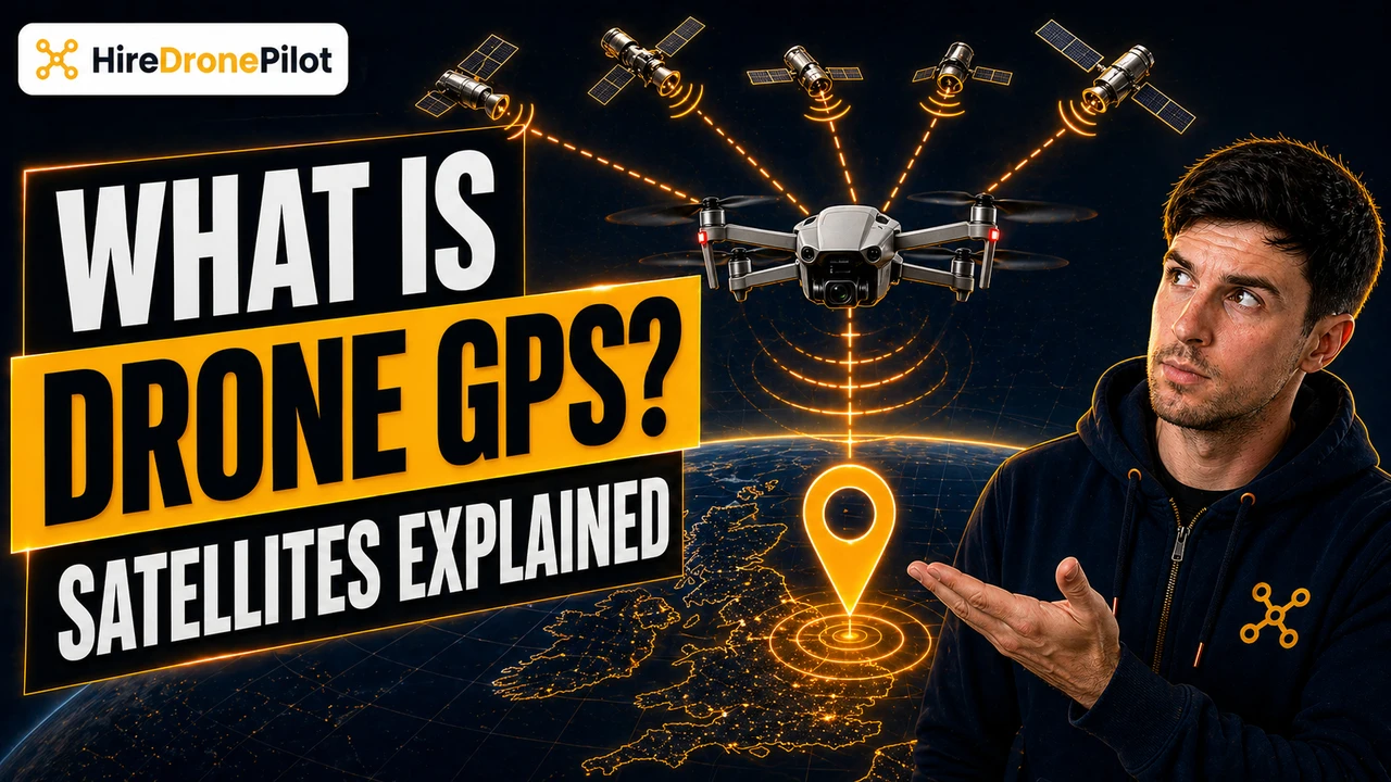
Drone GPS is a satellite receiver that works out the drone's position in three dimensions
The GPS on a drone is a small receiver module built into the drone. GPS stands for Global Positioning System — the US-operated constellation of satellites that orbit the Earth and continuously broadcast their own position and the exact time of transmission. Your drone's receiver listens to several of those broadcasts at once, measures how long each signal took to arrive, and uses the arrival times to triangulate its own position.
The maths is called trilateration. If the drone knows it is a certain distance from satellite A, a different distance from satellite B, and so on, it can solve for one single point in space where all those distances intersect. Four satellites is the minimum for a full 3D fix — latitude, longitude, and altitude. More satellites mean more accuracy and a faster lock, which is why you will notice your drone insisting on a satellite count before it lets you take off in position-hold mode.
Modern drones rarely use only the US GPS constellation. Most consumer flagships support GNSS — a generic term for satellite positioning — by also listening to Europe's Galileo, Russia's GLONASS, and China's BeiDou. That is why your DJI Fly app often tells you it is reading seventeen or twenty satellites — you are pulling data from multiple constellations at once.
The satellite service is one-way, so drone GPS works off-grid with no internet connection
One of the most common questions I get is whether the drone's GPS needs a phone signal or Wi-Fi to work. It does not. GPS is a one-way satellite service. The satellites broadcast. The drone listens. Nothing leaves the drone during that transaction.
This is why your drone works in a Scottish glen, on a Cornish cliff, or in the middle of a featureless field. The satellites are overhead regardless. Mobile signal is irrelevant to them. So the GPS-dependent features — position hold, Return to Home, and the live telemetry feed on your controller — keep working off-grid. For the wider picture, see the practical guide to flying without Wi-Fi.
The one limitation is the map tiles on your screen. Those are not GPS — they are the visual map the app paints underneath the position dot. Map tiles stream in over your data connection, so if you arrive at a remote site without pre-caching the map, the GPS still works but your screen will show grey squares. Pre-cache the tiles at home.
Every intelligent flight mode on a modern drone depends on a GPS fix
Once the flight controller has a position, a whole stack of features becomes possible. Without it, you are flying what DJI calls ATTI mode — a stabilised hover that holds attitude but not position. In ATTI mode the drone will drift with the wind and you have to fly actively to hold a point. With GPS, you release the sticks and the drone stays exactly where it was.
Position-dependent features include:
- Position hold. The drone actively corrects for wind to keep itself on a fixed latitude and longitude.
- Return to Home. If the controller's signal drops or the battery gets critically low, the drone uses its recorded home point to fly back autonomously.
- Waypoint missions. You draw a route on a map, the drone flies it — essential for drone surveys and repeatable inspections.
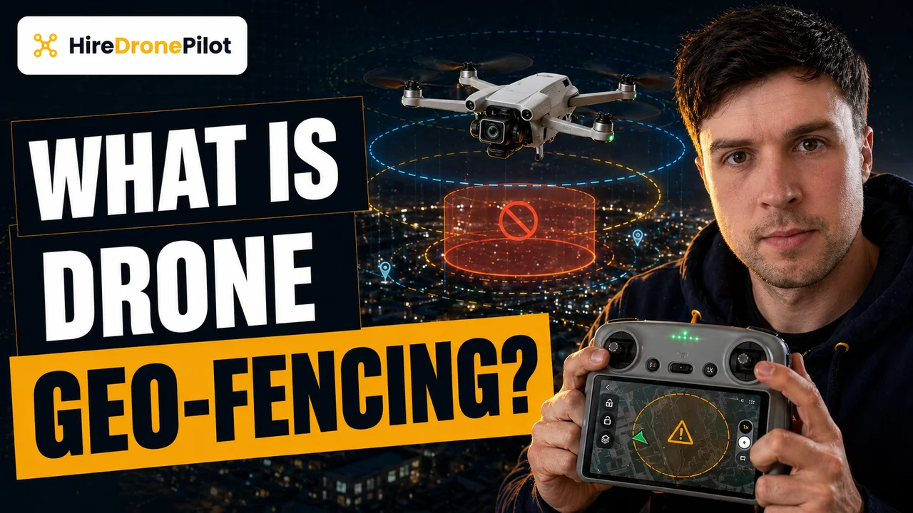
- Geo-awareness. The drone cross-references its position against known restricted zones and can alert you if you are approaching one.
- Remote ID broadcasts. From 1 January 2026, UK1, UK2, and UK3 class drones must broadcast their position as part of Remote ID — which obviously requires the drone to know its position.
All of these are silently leaning on the GPS receiver. A weak lock affects all of them simultaneously.
A clear view of the sky, a patient wait, and a recorded home point are what make GPS reliable in practice
In theory, GPS just works. In practice, there are a handful of habits that separate reliable flights from drone pilots complaining that the drone is being weird today.
Give the drone a clear view of the sky for the first thirty seconds. Satellite signals are weak by the time they reach the ground, so anything blocking the sky — tall buildings, dense tree canopy, overhangs — slows the lock. Taking off from under a canopy is a reliable way to get a patchy fix that the drone tolerates but does not love.
Wait for the satellite count to climb. Your flight app will show a live count. The threshold for taking off in position-hold mode is usually at least ten to twelve satellites. I wait for more if I am about to fly near obstacles, because a fuller lock means a faster reaction if the drone needs to return home.
Let the drone record the home point before you take off. This is the one that catches people. The home point is not automatic — it is set at takeoff, once the drone has a strong enough lock. If you take off before the home-point icon appears on your app, Return to Home will either fail or return the drone to wherever it first got a lock, which may not be where you are standing.
Update the home point if you move. Drone pilots who walk around during a shoot, especially on survey work, need to refresh the home point deliberately or they get the wait, why is it flying back to the van? moment.
The GPS works with the compass and the IMU as a triangle, not alone
The last point worth making is that GPS is not doing this job by itself. Modern flight controllers use sensor fusion to blend the GPS, the compass, and the IMU into a single picture of the drone's state.
The division of labour is specific. GPS gives slow but absolute position. The IMU gives fast but drift-prone motion. The compass gives heading. Each sensor compensates for the others' weaknesses — the IMU fills in the gaps between GPS updates, the GPS corrects the IMU's accumulated drift, and the compass keeps the IMU's heading honest.
A practical implication of that teamwork is that GPS troubles often present as compass or IMU troubles, and vice versa. If your drone loses its hold mid-flight, it is worth looking at all three. A GPS Signal Weak warning and an IMU Error can show up within seconds of each other because the fusion algorithm is stressed.
If you want to dig deeper into precision positioning for commercial work — the centimetre-level kind used for drone surveys and LiDAR mapping — the companion pieces on RTK and PPK cover the two techniques that push standard GPS from metres of accuracy down to a handful of centimetres.
So the short version. Drone GPS is a one-way satellite receiver that works out the drone's position in three dimensions. It does not need the internet. It unlocks nearly every intelligent flight feature on the drone. And it is most reliable when you give it a clear sky, wait for the lock, record the home point, and remember that it is one corner of a three-sensor triangle rather than a solo act.
Got a specific site where your GPS keeps misbehaving — a city canyon, a woodland shoot, a rooftop launch? Drop a note to peter@hiredronepilot.uk and I will come back to you directly. If you prefer the video version of this explainer, the comments are open on YouTube.
References
Primary source material for this article is the UK Civil Aviation Authority and the drone manufacturer. External links open in a new tab.
- UK CAA — The Drone and Model Aircraft Code (CAP2320) · Rules 10 and 11: know what your drone can do; geo-awareness; make sure it is fit to fly
- UK CAA — Remote ID (RID) · position data broadcast via Remote ID, mandatory from 1 January 2026 for UK1/UK2/UK3
- DJI — UK support portal · product documentation for GNSS support (GPS + GLONASS + Galileo + BeiDou) by product line
Peter Leslie
Founder & GVC Drone Pilot
Peter is the founder of HireDronePilot. With thousands of logged commercial flight hours, he writes about drone technology, commercial surveying tactics, and UK aviation compliance.
Connect on LinkedIn