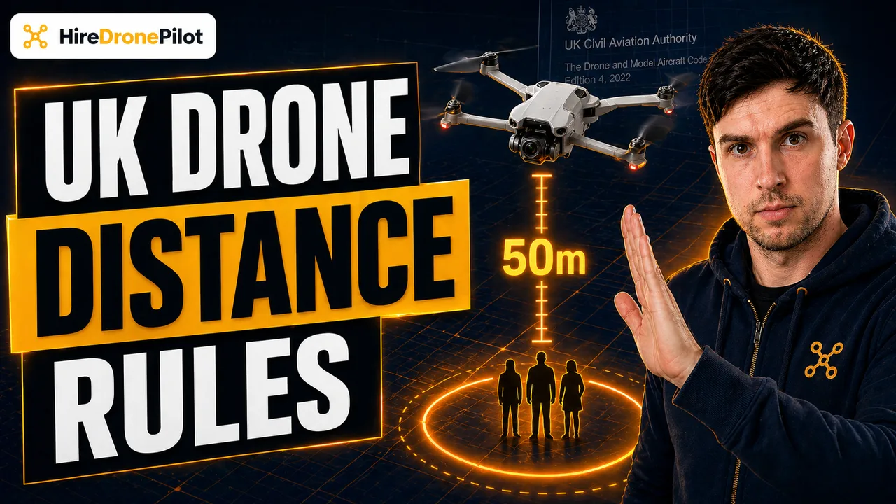
Flying a Drone at UK Beaches: Crown Estate, Council Byelaws, Wildlife

Peter Leslie
16 Apr 2026
Key Takeaways
- The UK beach is a stack of three landowners: Crown Estate foreshore between high and low water, council-owned dry sand above the high-water mark, and sometimes a protected wildlife overlay on top of both
- Crown Estate does not generally restrict recreational drone flying on the foreshore, but it does not override a council byelaw, a Flight Restriction Zone, or an SSSI designation
- Sites of Special Scientific Interest, National Trust coast, and nature reserves each impose their own rules, and disturbing breeding seabirds or seals can itself be a criminal offence
- A sub-250g drone clears most of the practical friction at the coast because it can legally fly close to uninvolved people and over recreational areas such as beaches and parks
- South-coast beaches near Dover, Portsmouth, and Solent airspace sit inside or next to Flight Restriction Zones and military danger areas, so the airspace check is not optional
A UK beach looks like one place on a map and behaves like three different ones in law. The wet sand between the tide lines is usually Crown Estate. The dry sand above the high-water mark is usually owned by the local council. On top of both, you may be standing inside a nature reserve, a Site of Special Scientific Interest, or a National Trust coast, each with its own rules about drones.
The short answer is that most UK beaches are flyable for drone pilots who do the paperwork, but the check-list is longer than most people expect. This guide walks through who owns what, where the overlays bite, and how the UK drone laws apply once you are stood on the sand with the props spinning.
A UK beach is three different landowners stacked on top of each other
Start with the land itself. The foreshore is the strip of beach between the mean high-water mark and the mean low-water mark. In England, Wales, and Northern Ireland, roughly half of that foreshore belongs to The Crown Estate. In Scotland, the equivalent is managed by Crown Estate Scotland. This is the wet-sand band you see uncovered as the tide goes out.
Above the high-water mark you are on a different parcel of land entirely. That dry-sand strip, the promenade, and the car park are almost always owned by the local council, and they are within their rights to pass a byelaw that restricts drone take-off, landing, or flight from the land they own.
Over the top of both, a wildlife designation — an SSSI, a Special Protection Area, or a Special Area of Conservation — can apply, and in many coastal stretches the land is owned or managed by the National Trust, which maintains its own no-drone policy on the land it holds. The CAA's rulebook sits on top of all of this. It does not overrule the landowner and it does not overrule the wildlife law.
The Crown Estate is not a drone permit, but it is a green light on the foreshore
The Crown Estate publishes an online map of the foreshore and estuary land it owns, and the shaded areas are the ones where you are on Crown land rather than council or private land. The Crown Estate does not generally restrict recreational drone flying from its foreshore, and for most recreational drone operators this is the easiest starting point.
What the map does not do is tell you the flight is legal. A Crown Estate foreshore can still fall inside an airport Flight Restriction Zone, a military danger area, or an SSSI. It can also sit directly below a council byelaw that covers the promenade you walked down to reach the tide line.
Crown Estate permission is a land-access answer. The aviation answer and the wildlife answer sit on separate layers, and every one of them has to come back as green before the props spin. Commercial operators working on the foreshore also need a Crown Estate licence for the activity itself — the "do not restrict recreational flying" position does not extend to paid jobs.
Council byelaws above the high-water mark can ban drones outright
This is the layer that catches most people. The Drone and Model Aircraft Code is explicit that byelaws may restrict when and where you can fly, that they are unlikely to appear in any drone app, and that you need to look for local signs on site. The council's dry-sand strip and promenade are the most common place to find one.
Some councils publish their position openly, others bury it inside a general open-spaces byelaw that prohibits model aircraft and drones without written consent. Enforcement usually comes via a beach warden, a community officer, or a complaint to the council, and the consequence is usually a request to stop flying rather than a prosecution — but a repeat or a reckless flight is escalated quickly.
If you are planning a flight at a named resort beach — Brighton, Bournemouth, Blackpool, Llandudno, Portrush — check the council website before you travel. If there is no clear policy, an email to the parks or foreshore officer is the cheapest way to get a written answer. That paper trail is worth having if anyone on site asks you to justify the flight.
Wildlife law is the overlay that can make a flight a criminal offence by itself
A large share of the UK coast is designated as a Site of Special Scientific Interest, a Special Protection Area, or a Special Area of Conservation, and that designation is a separate legal layer from the CAA rulebook. The Drone Code states that flying may be restricted at an SSSI where it could disturb wildlife, and that you must check with Natural England, Natural Resources Wales, NatureScot, or the Northern Ireland Environment Agency depending on where you are.
Breeding seabird colonies on coastal cliffs and shingle beaches, and seal haul-outs on sand spits and rocky coves, are protected under wildlife legislation in their own right. A drone that flushes a nesting colony or drives seals off a haul-out can meet the legal test for intentional or reckless disturbance of protected species, and that is a criminal offence independent of any CAA rule. Cases do get prosecuted — conservation charities monitor the coast every breeding season and report them.
The practical working rule at the coast: if the beach has a visible colony, nesting signs, a haul-out, or a "no drones" sign attached to a wildlife notice, treat the whole site as closed and move on. The footage is never worth the record.
A sub-250g drone clears most of the people-distance friction at the coast
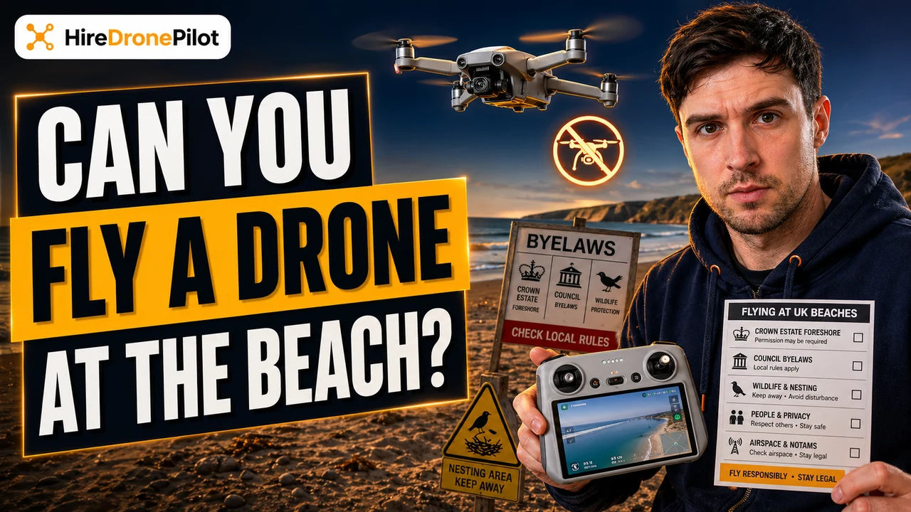
Beaches are recreational areas by default, and the Drone Code explicitly lists beaches and parks as recreational in the 150-metre rule that applies to the A3 sub-category. For most mid-weight drones that means you cannot set up on a busy beach at all: the nearest uninvolved person dictates a 50-metre horizontal buffer, and the recreational-area rule pushes you out to 150 metres from the built-up strip behind you.
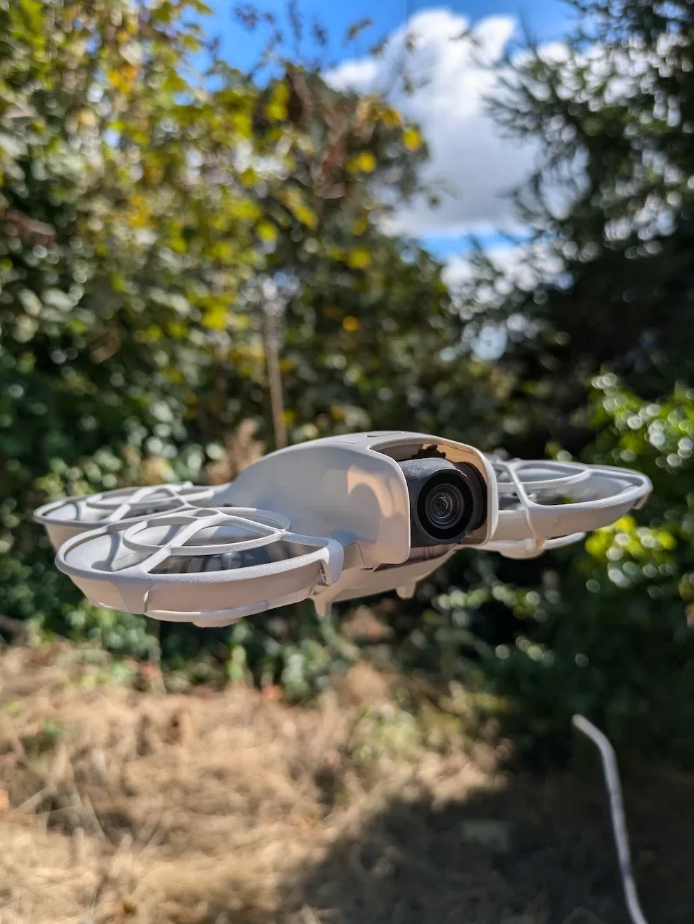
A sub-250g drone in the A1 sub-category sidesteps both. It can legally fly closer than 50 metres to uninvolved people and it can operate inside residential and recreational areas. It still cannot fly over a crowd, and the Drone Code names a crowded beach as one of its examples of a crowd. If the beach is packed, the weight class does not save you.
If you are flying a larger drone, expect to work off-season, early morning, or on a stretch of foreshore where you can genuinely hold 50 metres from the nearest person and 150 metres from the promenade. Wind-swept shingle out of season is forgiving; August bank holiday is not.
Coastal airspace is busier than it looks — the FRZ check is not optional
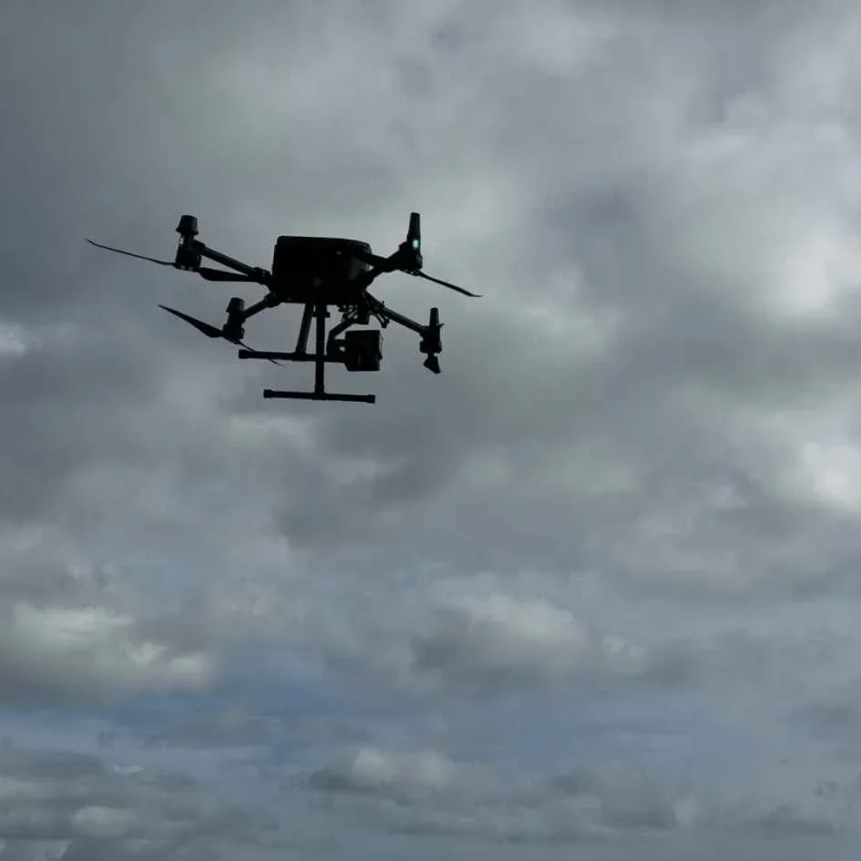
The south and east coast of England are heavily populated with controlled airspace. Dover sits on the approach for cross-Channel traffic; Portsmouth and the Solent overlap several military danger areas and naval exclusion zones; East Anglia is laced with former and active RAF sites. Even quiet seaside towns often have a small coastal airfield nearby whose Flight Restriction Zone extends out over the water.
The Drone Code's rule on airports is blunt: a typical FRZ is a 5 km circle around the airfield, with a 1 km extension along each runway end, and you must not fly inside it without permission. Military ranges, royal palaces, government buildings, and prisons carry their own restrictions. A coastal prison is not a theoretical example — there are several.
Use a drone safety app the same day as the flight, and cross-check it against the NATS drone map. Airspace changes. A NOTAM can drop an hour before you arrive. The same beach that was clean last weekend can be inside a TDA for a naval exercise today.
The standard CAA rules still apply on top of every land-ownership layer
Nothing about the foreshore exempts you from the rest of the rulebook. The 120-metre altitude ceiling still applies. Visual Line of Sight still applies, and bright sky plus reflective water makes it harder to hold than you expect — drones go small against the horizon very quickly.
You still need your Flyer ID and your Operator ID labelled on the drone. If the flight is for paid work — stock footage, a client video, a coastal photography commission — third-party drone insurance is required. Filming identifiable people on the sand drags in UK GDPR; frame the landscape, not the beachgoers.
The legal backbone behind all of this is the Air Navigation Order 2016, working alongside UK Regulations (EU) 2019/945 and 2019/947. A breach is a criminal offence, not an administrative slap, and endangering an aircraft in flight carries a maximum of five years in prison on top of invalidated insurance. Coastal airspace is exactly where that rule gets tested, because it is where manned aircraft and drones most often share low altitude.
A pre-flight checklist for any UK beach flight
Here is the sequence I run through before any coastal flight, in the order the checks have to happen. If any one of them comes back red, the flight does not go.
- Land ownership. Check the Crown Estate foreshore map for the stretch of sand you are taking off from. If it is council land above the high-water mark, check the council website for a drone byelaw. National Trust coast is no-fly by default.
- Wildlife designation. Search the Magic Map (Defra) or NatureScot map for SSSI, SPA, and SAC layers. If the beach is designated, email the relevant national body and get their position in writing.
- Airspace. Check a drone safety app and the NATS drone map the same day. Look for FRZs, military danger areas, naval exclusion zones, and live NOTAMs.
- Weather. Check wind at 10 metres and at 120 metres separately — coastal shear is normal and a sub-250g drone will struggle in gusts you can barely feel on the sand.
- Tide. Check the tide table. An incoming spring tide can shrink the dry foreshore faster than battery life, and it will take the landing pad with it.
- On-site check. Walk the take-off area. Count the people, look for nesting signs, look for the nearest family group, identify your 50-metre buffer and where a bystander might walk into it.
- Fly with respect. Uninvolved people, crowds, seabirds, seals, and other aircraft all trump the shot. Land early if any of them change.
Done in order, the checklist is fifteen minutes of work and it covers every one of the layers that can stop a coastal flight. Skip a step and the cost is either a warning from a council warden, a wildlife complaint, or a line in an air-proximity report. None of those are worth the footage.
Got a specific coastal scenario you want covered — a named beach, a protected stretch, a commercial coastal job? Drop a note to peter@hiredronepilot.uk and I will come back to you directly. If you prefer the video version of this explainer, the comments are open on YouTube.
References
Primary source material for this article is the UK Civil Aviation Authority. External links open in a new tab.
- UK CAA — The Drone and Model Aircraft Code (CAP2320) · 50-metre people-buffer, 150-metre recreational-area rule, byelaws, SSSI restrictions, crowded beach as a crowd example
- UK CAA — Where You Can Fly (A1, A2, A3 sub-categories) · A1 exemption for sub-250g and UK0/UK1/C0/C1 class drones in recreational areas
- UK CAA — UK Regulatory Framework for Drones · Air Navigation Order 2016, UK Regulations (EU) 2019/945 and 2019/947, trespass and byelaw obligations
- The Crown Estate — Marine and Foreshore · ownership of approximately half the UK foreshore in England, Wales and Northern Ireland
- Natural England (and NatureScot, Natural Resources Wales, NIEA) · SSSI, SPA and SAC designations, wildlife disturbance rules for breeding seabirds and seals
- NATS Drone Assist — UK airspace map · Flight Restriction Zones, military danger areas and NOTAMs
Peter Leslie
Founder & GVC Drone Pilot
Peter is the founder of HireDronePilot. With thousands of logged commercial flight hours, he writes about drone technology, commercial surveying tactics, and UK aviation compliance.
Connect on LinkedIn