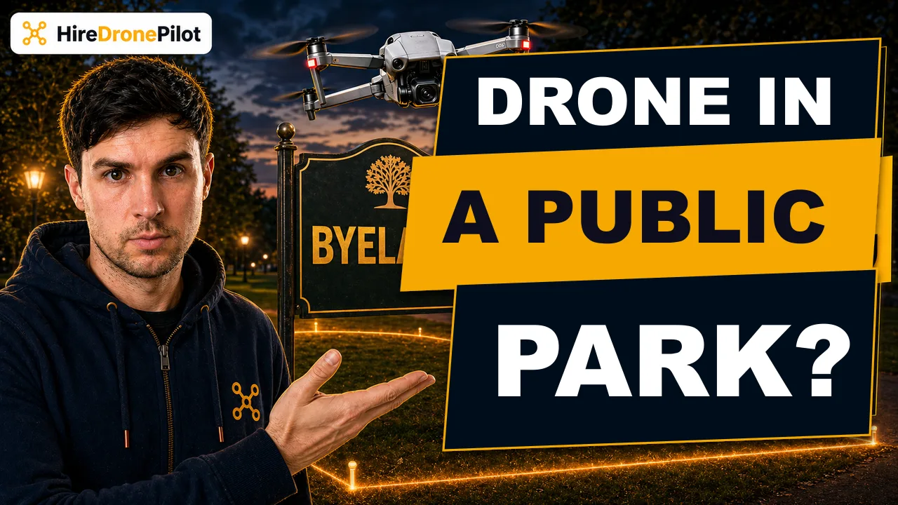
Flying a Drone in a UK Public Park: What the Law Actually Says
Peter Leslie
16 Apr 2026
Key Takeaways
- Most UK public parks restrict drones through local council byelaws, not through CAA aviation law
- The Drone Code and the Air Navigation Order 2016 still apply over the park, but whoever controls the land has the final say on take-off and landing
- All eight Royal Parks ban drone flights by default and do not issue permissions to the general public
- The National Trust requires written permission in advance for any drone flight from its land
- Forestry England and Forestry and Land Scotland operate permit systems for commercial flights from their estates
- Even where permission is granted, your Flyer ID, Operator ID, and the 50 metre distance-from-people rule still bind every flight
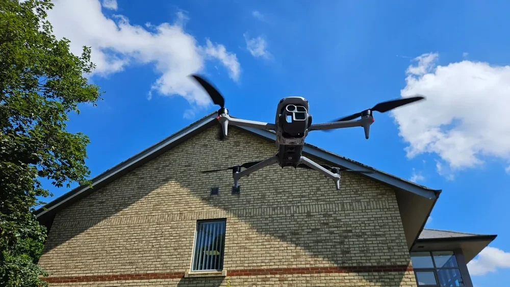
A question I hear almost every week from new drone pilots is whether it is legal to take off from a public park. The short answer is almost always no, and the reason trips people up because it has very little to do with UK drone laws in the aviation sense.
The Civil Aviation Authority sets the rules for the airspace above the park. The council, trust, or landowner sets the rules for the grass you are standing on. It is almost always the second set that stops you flying.
Public park drone bans come from council byelaws, not from CAA aviation law
Here is the first thing worth understanding. The Drone and Model Aircraft Code does not contain any rule that says you cannot fly a drone in a public park. Neither does the Air Navigation Order 2016. If you scan the Drone Code end to end, you will find rules on distance from people, altitude, registration, and restricted airspace — but nothing specific about parks.
The decisive rule comes from the Drone Code itself reminding you that you still need the landowner's permission to take off and land. In a public park, the landowner is usually the local council. Councils in England, Scotland, Wales and Northern Ireland are empowered to make local byelaws that govern behaviour on land they control, and a very large share of them have used that power to ban or restrict drone flying in parks.
That ban is a legal byelaw, not a suggestion. Breaching it is a criminal offence in its own right — separate from anything the CAA might say — and the typical penalty is a fine, confiscation of the drone, or removal from the park by a park warden or the police.
Drone Code Rule 8 mentions byelaws directly. It flags them as one of the hazards you have to check before you fly and warns that byelaws are unlikely to appear on drone apps or aviation websites. That is the CAA's polite way of saying it is your job to find them, not theirs.
You have to check the specific byelaws of the park you want to fly in
There is no national drone-in-parks register. Each council writes its own byelaws, and the wording varies. Some councils ban powered model aircraft of any kind. Some single out drones by name. Some allow flying only in designated areas. Some require you to apply in writing for a permit.
Before you fly, do three things. Search the council's website for park byelaws or drone. Check signage at the park entrance — many councils post the relevant byelaw on a board near the gate. If you still cannot find a clear answer, email the parks team directly and keep their reply.
A written yes, you may fly from Park X on Date Y is the only evidence that matters if a warden stops you mid-flight. Screenshots of the email, the byelaw page, and any permit reference are worth keeping with your drone flight logs for that job.
Do not rely on the absence of a sign as permission. If the byelaws ban drones and you did not read them, that is still the offence. The council's position is always that the byelaws are public and you were on notice.
All eight Royal Parks ban drone flights by default
The Royal Parks charity manages eight central London green spaces — Hyde Park, Kensington Gardens, Regent's Park with Primrose Hill, Green Park, St James's Park, Richmond Park, Bushy Park, and Greenwich Park. Between them they receive tens of millions of visitors a year and sit under some of the busiest airspace in the country.
The Royal Parks regulations prohibit drone flying across all eight sites by default, and the charity does not issue permissions to members of the public for recreational or photographic drone flights. Commercial flights are considered only through a formal film and photography permit process, which in practice is limited to broadcast productions with full insurance, risk assessment, and CAA Operational Authorisation.
If you are planning drone shots in London more broadly, our guide to flying a drone in London walks through how the Royal Parks ban interacts with the wider airspace restrictions across the capital. The short version: central London is one of the hardest places in the UK to launch from legally, and the Royal Parks are the core of why.
The National Trust requires written permission in advance for any drone flight
The National Trust owns more than 250,000 hectares of countryside, gardens, and historic parkland across England, Wales and Northern Ireland. Its property includes many of the places drone operators would most like to film — coastal cliffs, ruined abbeys, deer parks, famous gardens.
The Trust's standing policy is that drone flights from Trust land require written permission in advance, handled through the property's general manager. Permission is rarely granted for recreational flying and is usually reserved for commercial drone operators who can demonstrate full third-party drone insurance, a site-specific risk assessment, and a clear purpose that benefits the property — heritage surveys, conservation filming, broadcast productions.
Turning up and launching without a written letter is trespass plus a breach of the Trust's byelaws, and rangers are briefed to ask any drone operator to leave. For a commercial shoot, budget two to six weeks for the application process. The Trust does not issue same-day permissions.
Forestry England and Forestry and Land Scotland run permit systems for commercial flights
If your intended park is actually woodland managed by the state, a slightly friendlier framework applies. Forestry England manages the public forest estate in England — around 250,000 hectares including the New Forest, the Forest of Dean, Kielder Forest, and Thetford. Forestry and Land Scotland manages roughly 640,000 hectares north of the border, including Glen Affric, Argyll Forest Park, and Galloway.
Both bodies ban casual drone flying but operate a formal permit process for commercial drone work. The application is typically an online form requesting the date, location, flight purpose, proof of Operator ID, proof of pilot competence, and a copy of the operator's insurance certificate. A fee is usually payable per day of filming.
Forestry and Land Scotland's approach folds into the wider Scotland drone rules, which follow the same UK CAA framework but overlay the Scottish Outdoor Access Code on foot access. The permit system is the bit that actually unlocks launching from forestry land.
Even with park permission, the Drone Code and ID rules still bind every flight
Say you have done the work. The council has written back, the byelaw allows you to fly, or you hold a National Trust permit in your inbox. Permission from the landowner is necessary, but it is not sufficient. The CAA framework still runs on top of it.
At minimum, every flight from a public park needs the following. A Flyer ID if your drone weighs 100 grams or more. An Operator ID labelled on the drone if it weighs 250 grams or more, or 100 grams or more with a camera. Third-party insurance if the flight has any commercial purpose.
On top of that, the 50 metre distance-from-uninvolved-people rule in the Drone Code still applies, and it is the single most likely rule to bite you in a busy park. Dog walkers, picnickers, children on bikes, joggers — all uninvolved. All count. The 120 metre altitude ceiling still applies. Visual Line of Sight still applies.
For drones above 250 grams in the Open Category A3 sub-category, the rule to watch is the 150 metre stand-off from residential, commercial, industrial, and recreational areas. A public park is a recreational area by definition. In practical terms, that means an A3 flight from a suburban park is rarely lawful unless the park is genuinely large and the boundary runs far from housing.
Drone Code Rule 5 adds another trap. Crowds are banned outright, regardless of drone weight. The Code lists a crowded park as one of its examples of a crowd — so on a sunny Saturday with joggers, prams, and picnic blankets shoulder-to-shoulder, even a sub-250 gram drone may not fly over the green whatever the byelaws say.
How the rule stack applies to a typical park flight
| Layer | Who sets it | What it controls |
|---|---|---|
| Byelaws | Local council / Royal Parks / National Trust / Forestry body | Whether you may take off and land at all |
| Drone Code (CAP2320) | UK CAA | Distance, altitude, VLOS, IDs |
| ANO 2016 & UAS Regulations | Parliament | Criminal penalties for breaking the rules |
| Airspace restrictions | UK CAA / NATS | Flight Restriction Zones, no-fly zones, prisons, airports |
The practical way to find a lawful park to fly from
If you are flying recreationally with a sub-250 gram drone, your best path is a council that explicitly permits drones in a named park, or a farm or private field where the landowner has given you permission directly. Rural fields, your own garden, or a private airstrip on a quiet day are almost always easier than a municipal park.
If you are flying commercially — the National Trust permit process, a Forestry England application, a broadcast permit from the Royal Parks — start the paperwork early. Most commercial drone operators I know keep a rolling spreadsheet of permissions granted, permissions pending, and sites they have ruled out. That kind of record is what a client insurance broker will expect to see if a claim ever arises.
For a broader map of where the law lets you fly, the beach flying guide and the garden flying guide cover the two other common launch sites and how their byelaw situation compares.
The headline rule is simple even if the detail is fiddly. A UK public park is almost always out of bounds by default because the council, the Royal Parks charity, the National Trust, or a forestry body has used its byelaw powers to ban drone flying there. Aviation law is running in the background, but it is the landowner's policy that decides whether you get to press take-off.
If you want the bigger legal picture on everything that sits above the byelaw layer, the CAP 722 explainer covers how the CAA's main policy document frames land-use permissions alongside airspace rules.
Got a specific park in mind, or a byelaw that reads as though it might leave a gap? Drop a note to peter@hiredronepilot.uk and I will come back to you directly. If you prefer the video version of this explainer, the comments are open on YouTube.
References
Primary source material for this article is the UK Civil Aviation Authority and the public byelaw pages of the respective landowners. External links open in a new tab.
- UK CAA — The Drone and Model Aircraft Code (CAP2320) · landowner permission requirement, 50m people buffer, 120m ceiling, Flyer/Operator ID
- UK CAA — Where You Can Fly · A1 and A3 distance rules, 150m stand-off from recreational areas
- UK CAA — UK Regulatory Framework for Drones · Air Navigation Order 2016 and the UAS Regulations
- The Royal Parks — Visit and regulations · default ban on drone flying across all eight Royal Parks
- National Trust — Drones policy · written permission required for any drone flight from Trust land
- Forestry England — Filming and photography permits · commercial drone permit application process for the public forest estate
- Forestry and Land Scotland — Commercial filming · Scotland equivalent permit system for commercial drone flying

Peter Leslie
Founder & GVC Drone Pilot
Peter is the founder of HireDronePilot. With thousands of logged commercial flight hours, he writes about drone technology, commercial surveying tactics, and UK aviation compliance.
Connect on LinkedIn