Drone Survey
Comprehensive aerial surveys delivering precise topographic data and 3D models across Belfast.
Explore Drone Survey ServicesBelfast Drone Services
CAA-approved drone survey services across Belfast and Northern Ireland. From topographic surveys to building inspections, our certified operators deliver precision aerial data for your projects.
Avg Response within 5 Mins • Or call +44 1334 804554
Trusted by leading organisations:
Belfast Drone Services
Professional drone survey solutions for construction, infrastructure, and environmental projects across Belfast and Northern Ireland.
Local Expertise
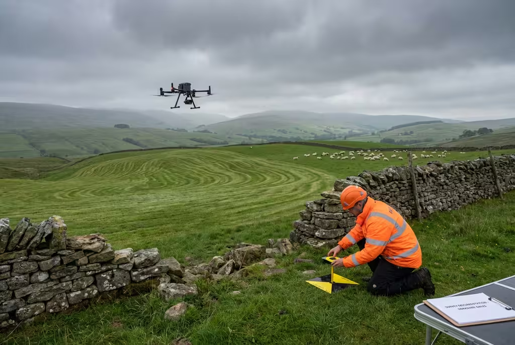
Belfast is experiencing significant regeneration with major developments across the Titanic Quarter, city centre, and waterfront areas. Our operators understand local airspace restrictions near Belfast City and International airports and have the experience to deliver across diverse project types.
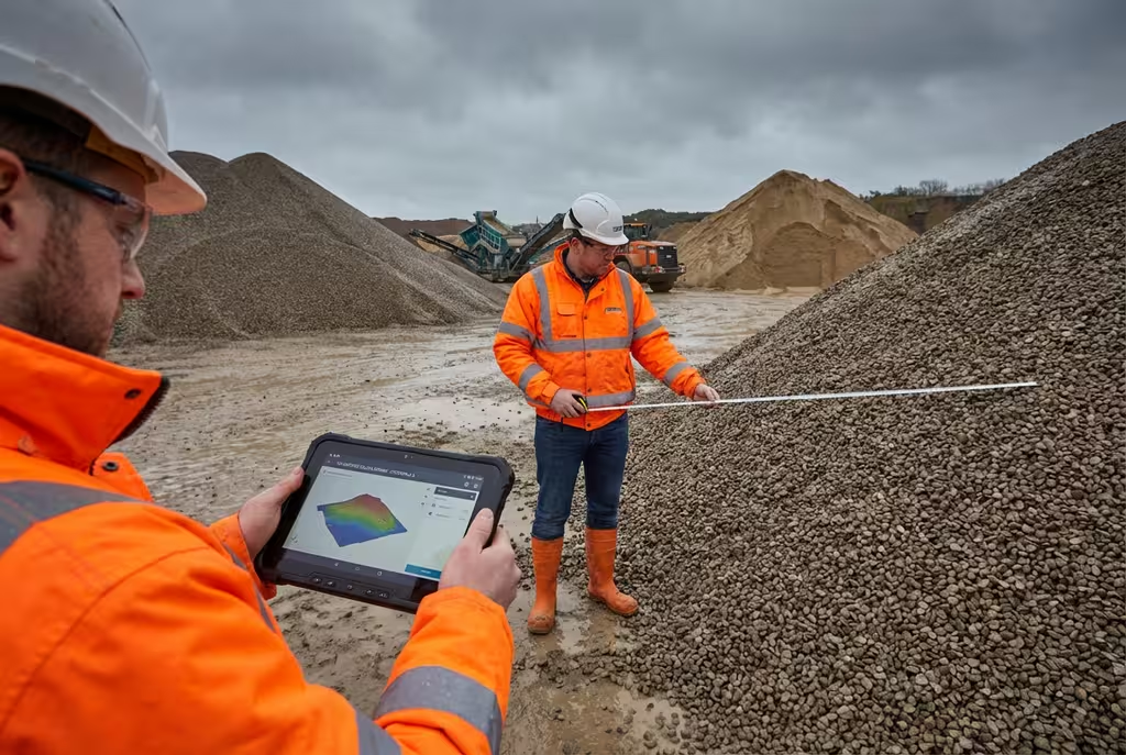
Progress monitoring and volumetric surveys
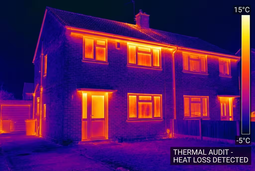
Roof and facade inspections
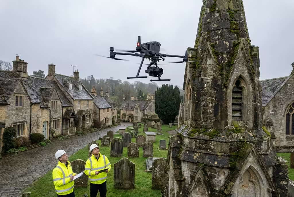
Historical building documentation
Property surveys and inspections
Factory and plant mapping
Belfast harbour and dockland surveys
Drone Pilot Network Capabilities
From one form, access independent drone pilots equipped with high-performance platforms and specialist payloads for complex UK projects.
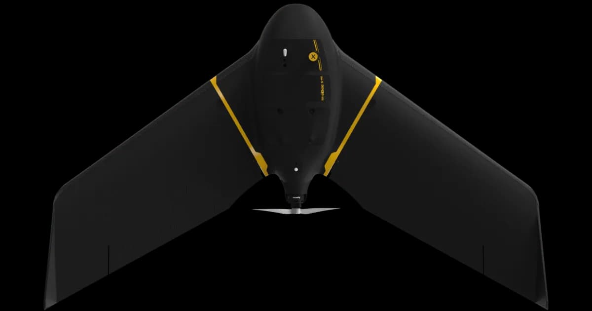
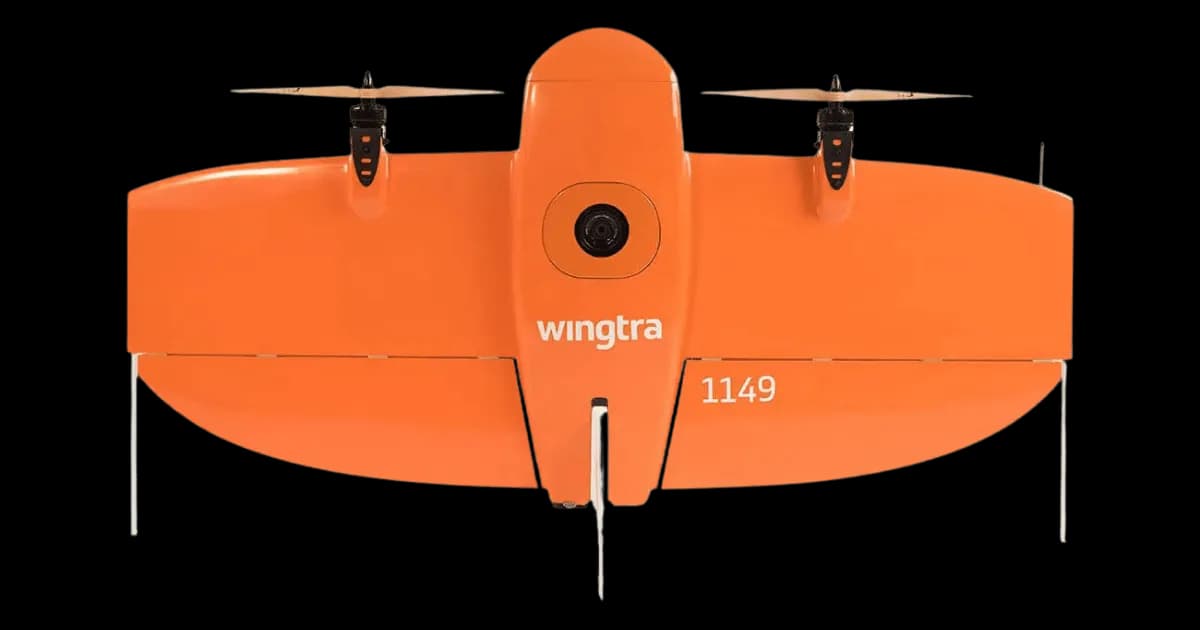
Professional fixed-wing for rapid terrain coverage
Engineered for excellence, designed for versatility
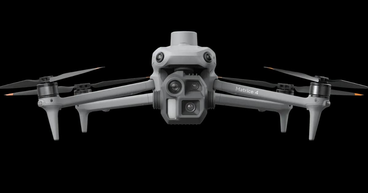
Best-in-class surveying efficiency for large projects
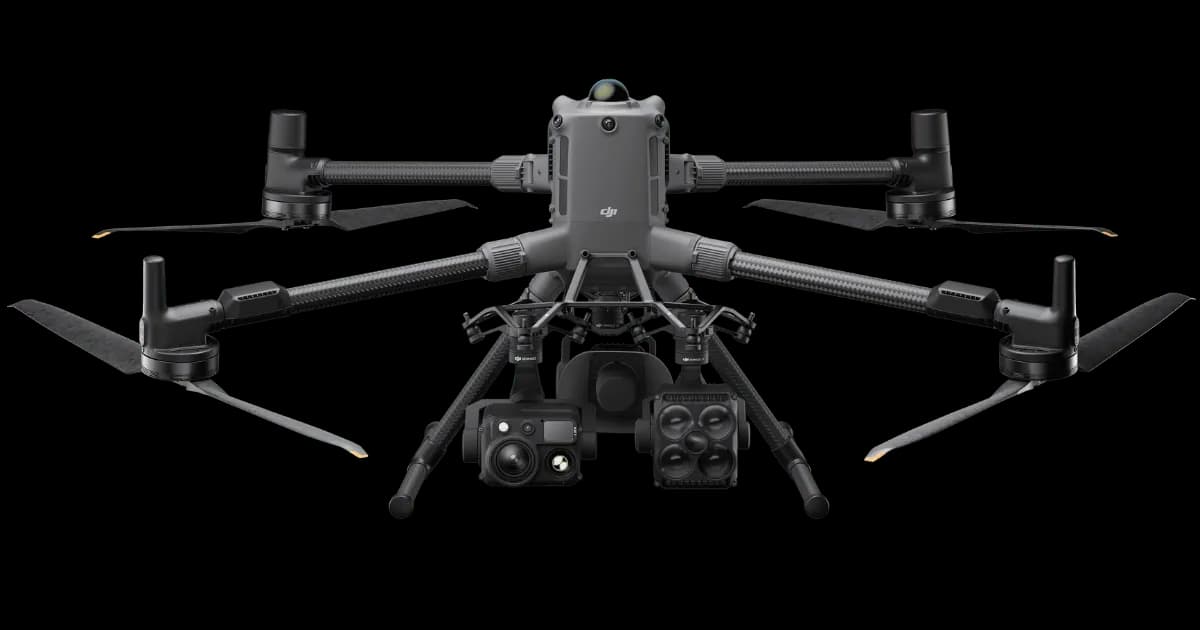
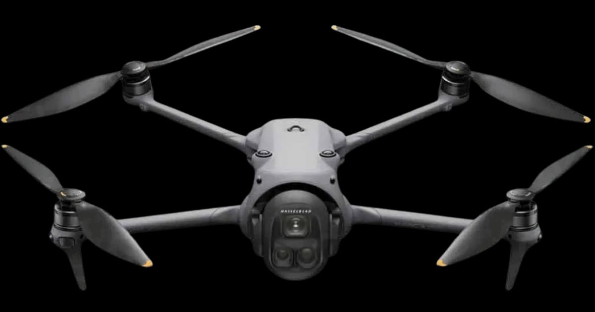
Professional multi-payload platform for precision surveying
Portable surveying powerhouse with RTK precision
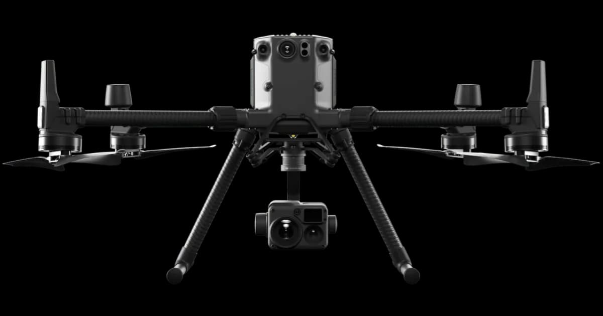
Industry-leading inspection and mapping platform
Precision survey drone with oblique capture
1 of 7
← Swipe to explore fleet →
Why Use HireDronePilot
Post one brief and compare quotes from independent drone pilots for your project.
Compare quotes from independent drone pilots matched to your project scope, location, and timeline.
Compare direct quotes from drone pilots with transparent pricing and no platform cut added.
Share one brief and review pricing, availability, and fit in one place instead of contacting operators one by one.
Ready to compare independent drone pilot quotes?
How It Works
Getting Started
We discuss your Belfast project requirements and objectives to determine the best survey approach. Our experts will recommend the optimal drone technology and data outputs for your specific needs.
Preparation
Our team plans the flight path, obtains Belfast airspace permissions, and prepares all necessary equipment. We handle all CAA regulations and site-specific risk assessments for your project.
On Site
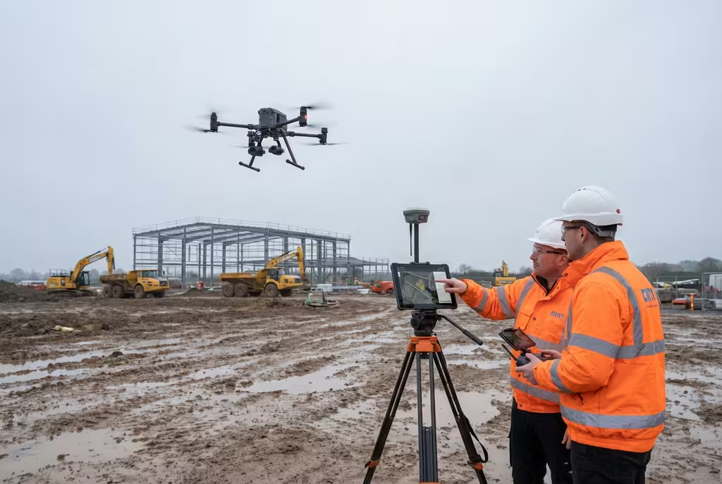
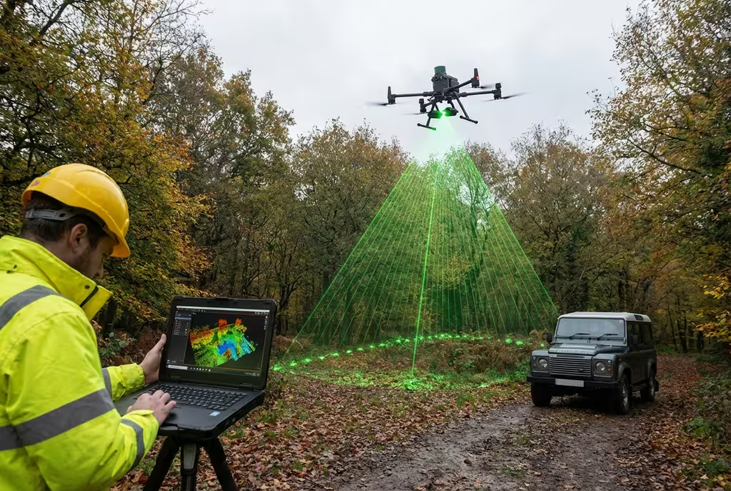
Our CAA-authorised independent drone pilots capture high-quality aerial data across Belfast using professional drone equipment. Survey-grade accuracy is achieved through RTK GPS and ground control points.
Delivery
Raw data is processed using industry-leading photogrammetry and surveying software. We deliver your outputs in your preferred formats, with full technical support throughout the project.
Drone Pilot Reviews
Don't just take our word for it. Here's what drone pilots in our UK network say about getting work through the platform.
“I get relevant commercial briefs with clear scopes, so quoting is fast and accurate. It has helped me win consistent survey work without chasing low-quality leads.”
Adam Carter
Drone Pilot
“Since joining the platform, I have filled gaps in my schedule with quality roof and inspection jobs. The enquiry details are much better than generic lead forms.”
Sophie Bennett
Drone Pilot
“HireDronePilot makes it easier to focus on delivery. I can review project briefs quickly, submit competitive quotes, and pick up work in new regions.”
Daniel Khan
Drone Pilot
FAQs
We provide a full range of drone survey services in Belfast including topographic surveys, LiDAR mapping, building inspections, thermal imaging, volumetric surveys, and construction monitoring. All work is carried out by CAA-approved pilots with comprehensive insurance cover.
Yes, Belfast has specific airspace considerations including proximity to Belfast City Airport and Belfast International Airport. Our pilots hold all necessary CAA authorisations including A2 CofC and GVC qualifications. We handle all airspace permissions and NOTAM requirements as part of our service.
Drone survey costs in Belfast typically range from £300 for a basic roof inspection to £2,000+ for comprehensive topographic surveys. The exact cost depends on site size, survey type, and deliverables required. We provide free, no-obligation quotes for all Belfast projects.
We can typically schedule Belfast drone surveys within 3-5 working days of booking. For urgent projects we offer expedited scheduling. On-site data capture usually takes a few hours to a full day depending on the survey scope.
Yes, we cover all of Northern Ireland including Belfast, Derry/Londonderry, Lisburn, Newry, and surrounding areas. Our UK-wide network of drone pilots ensures rapid response and competitive pricing wherever your project is located.
Get Started
Tell us about your Belfast project and we'll provide a competitive quote from experienced local drone operators.
Submit once and receive competitive quotes from independent drone pilots.