.webp&w=3840&q=75&dpl=dpl_26REbpitH5FtBnFHJkWoYMTvr5F2)
How It Works
Hire Drone Pilots in Cardiff
Get competitive drone pilot quotes in 3 simple steps. Guaranteed professional quote within 1 hour, plus competitive bids from our certified network.
Post Your Project
Tell us what you need - aerial photography, inspections, surveys. Takes just 2 minutes.
Get Multiple Quotes
Receive guaranteed quote within 1 hour from our team, plus competitive bids from Cardiff pilots.
Choose & We Handle Everything
Select your preferred pilot and price. We manage contracts, insurance, scheduling, and delivery.
.webp&w=3840&q=75&dpl=dpl_26REbpitH5FtBnFHJkWoYMTvr5F2)
Why Choose Us
Why Choose HireDronePilot To Manage Your Quotes
Don't waste time searching for pilots yourself. We handle everything from vetting to project management, ensuring you get professional results at competitive prices.
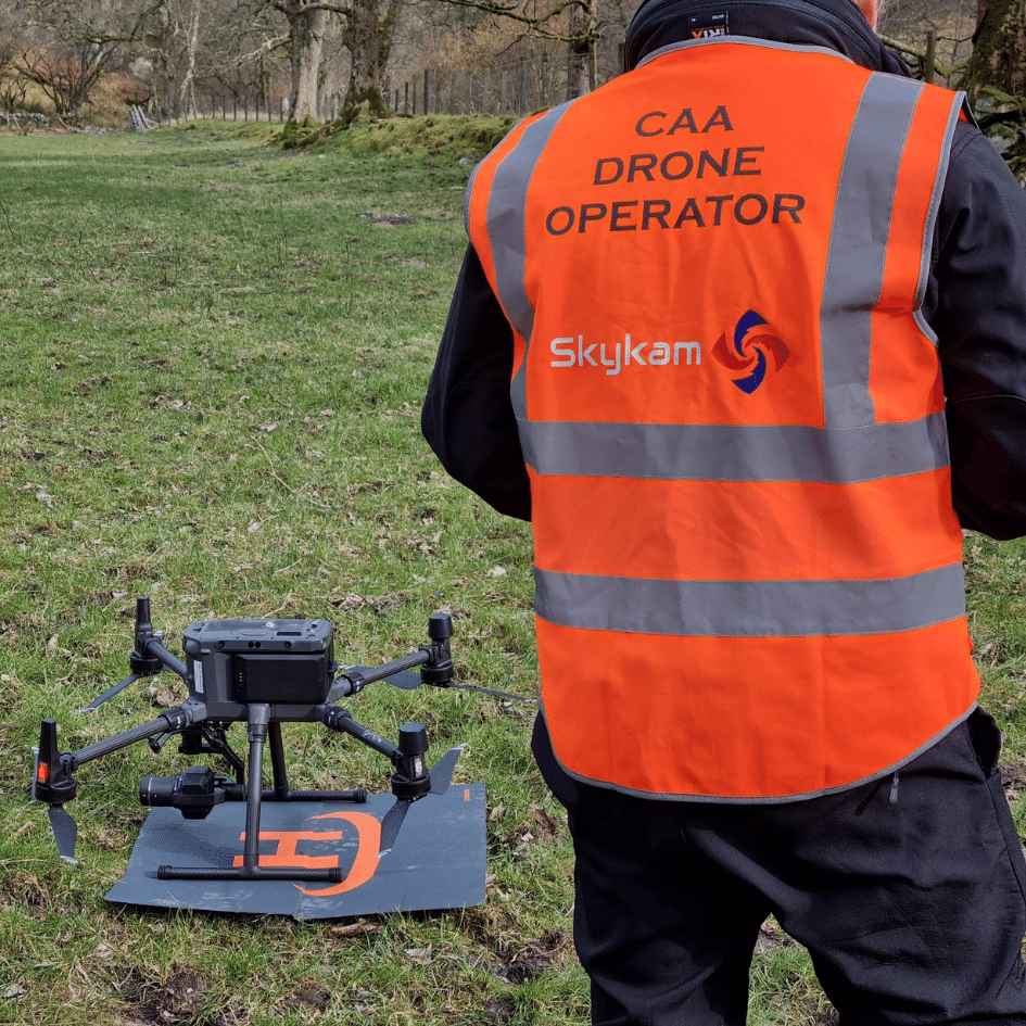
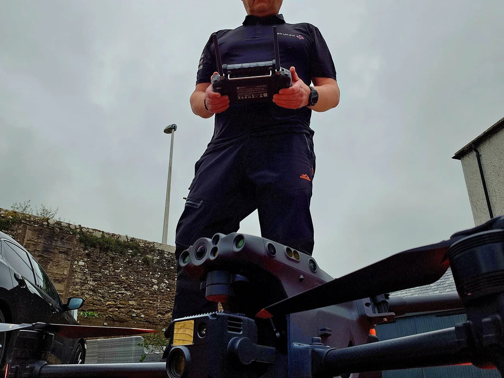
Every Pilot is GVC-Certified and Vetted
We manually review every application. Only pilots with commercial GVC certification, £2M+ insurance, and proven track records are approved.
Project Managed by Industry Experts
James Leslie, former RAF Engineer and Fire Service Drone Pilot, personally oversees your project from start to finish.
Competitive Quotes, Not Inflated Rates
When pilots compete, you win. Average clients save 30% compared to hiring drone pilots directly.
Zero Risk, Complete Protection
Weather delays? Free rebooking. Not satisfied? We'll find another pilot. Your project is protected.
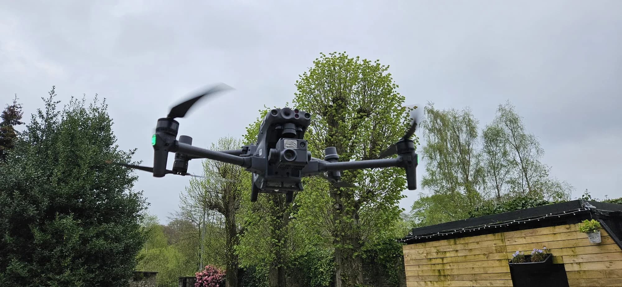
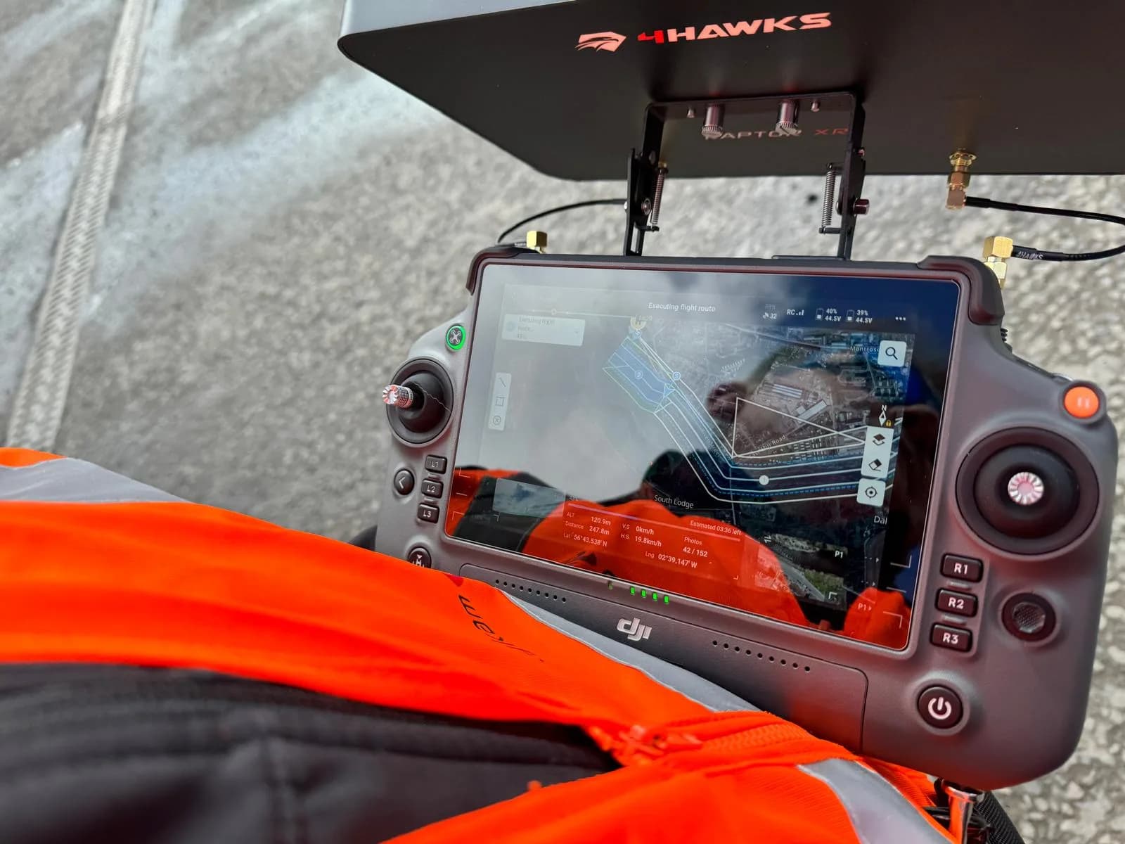
Professional Operations
Flying in Cardiff's Restricted Airspace
Our certified pilots have the expertise and permissions to operate safely in Cardiff's complex airspace, including restricted zones where hobby pilots cannot fly.
Cardiff No-Fly Zones
Cardiff has extensive restricted airspace including airports, helipads, government buildings, and densely populated areas. Most hobby pilots are grounded in these zones.
- Cardiff Airport approach corridors
- Welsh Government building restrictions
- BBC Wales & S4C facility zones
- Cardiff Bay waterfront limitations
- Principality Stadium event areas
Our Professional Advantage
We work directly with NATS Cardiff Approach, South Wales Police, and local authorities to obtain special permissions and operational approvals.
- CAA Operational Authorizations (OSC/SPC)
- Police & ATC coordination protocols
- Emergency services liaison
- Temporary restricted area clearances
Professional Permissions We Obtain
Why This Matters for Your Cardiff Project
Hobby Pilots Can't
Limited to open spaces, restricted from most commercial areas, no authority relationships
We Navigate Complex Approvals
Professional relationships, proven track record, streamlined permission process
Your Project Gets Done
No location limitations, full legal compliance, professional execution
Popular Drone Services In Cardiff
Our Cardiff drone pilots offer a comprehensive range of professional UAV services
Drone Photography
Stunning aerial photos and videos for real estate, events, and marketing
Drone Roof Inspection
Safe, detailed roof assessments without ladders or scaffolding
Drone Thermal Imaging
Heat loss detection, electrical inspections, and energy audits
Drone Solar Survey
Solar panel inspections and photovoltaic system analysis
Confined Space Inspection
Safe inspections of tanks, silos, and confined areas
.webp&w=3840&q=75&dpl=dpl_26REbpitH5FtBnFHJkWoYMTvr5F2)
Drone Gas Detection
Methane and gas leak detection for industrial safety