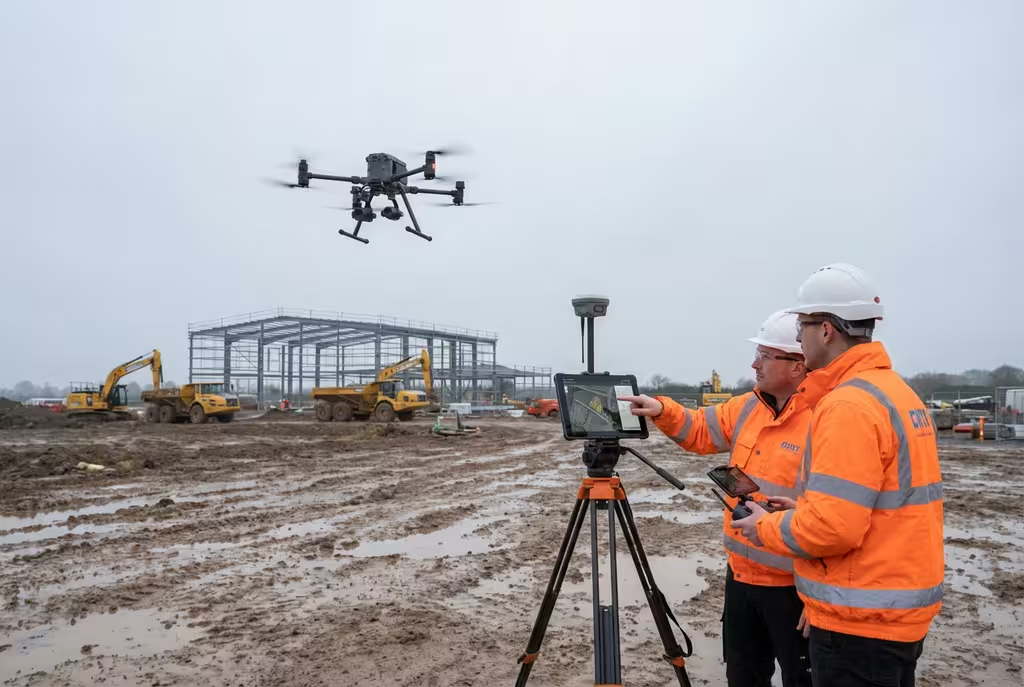
Drone Survey
Comprehensive aerial surveys delivering precise topographic data and 3D models across Edinburgh.
Explore Drone Survey ServicesScotland's Capital Drone Survey Specialists
Expert drone survey services across Edinburgh and the Lothians. CAA-approved drone operators delivering precision aerial data for construction, heritage, and property projects throughout Scotland's capital. Based in nearby Dundee for rapid response.
Avg Response within 5 Mins • Or call +44 1334 804554
Edinburgh Drone Survey Experts
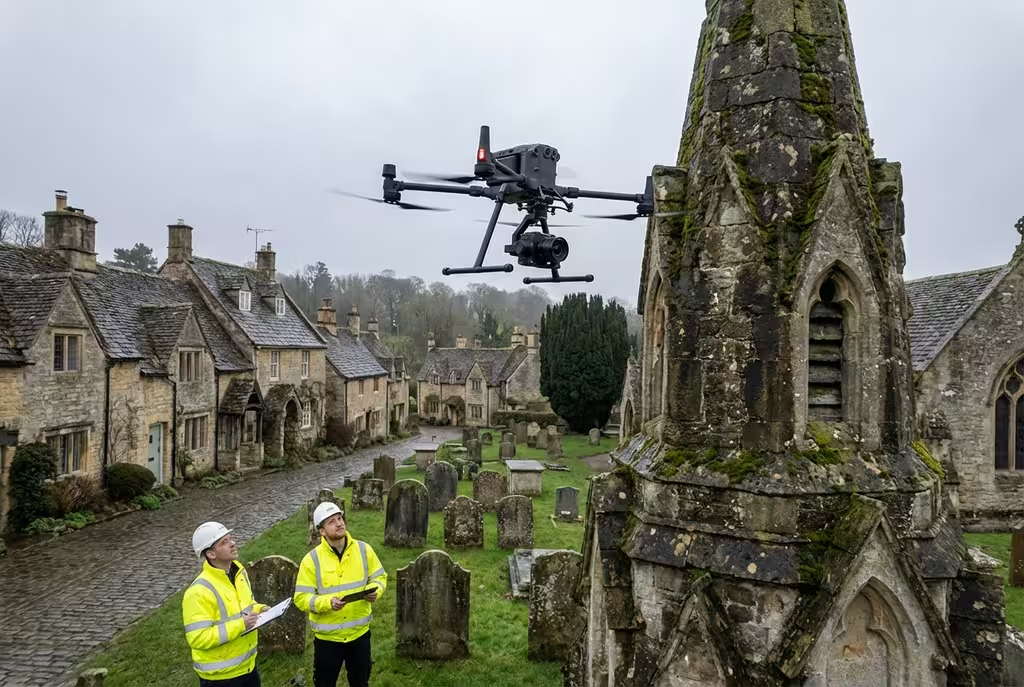
Flying drones in Edinburgh requires specialist knowledge. The city's UNESCO World Heritage status, complex urban environment, and proximity to Edinburgh Airport mean you need drone operators who understand the unique challenges.
Based in nearby Dundee, we're perfectly positioned to serve Edinburgh with rapid response times and deep local knowledge. Every Edinburgh project we deliver is fully compliant and professional.
Heritage Specialists
UNESCO World Heritage Site experience
Enterprise Equipment
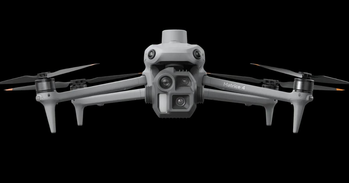
Matrice 300/350, LiDAR, multispectral
Fast Response from Dundee
60 miles from our HQ - same day available
Survey-Grade GPS
RTK/PPK positioning for ±2cm accuracy
Submit once and receive competitive quotes from independent drone pilots.
Trusted by leading organisations:
200+
Edinburgh Projects
Edinburgh Coverage
Hire Drone Pilot provides professional aerial survey solutions across all of Edinburgh and the Lothians. From historic Old Town properties to modern developments at Edinburgh Park, we have the expertise to deliver.
Based at our headquarters in Dundee, we're ideally positioned to serve Edinburgh with rapid response times. Our team has completed hundreds of projects across the capital, from the Royal Mile to Leith Docks.
±2cm
Survey Accuracy
60mi
From Dundee HQ
24hr
Response Time
Comprehensive aerial survey solutions for Edinburgh projects, delivered with precision and professionalism.
As Featured In
Our expertise in professional drone surveying has been featured across national news and industry publications. Our work has been cited in research by Harvard University and the Scottish Government.
Cited in academic research: Harvard University • Scottish Government
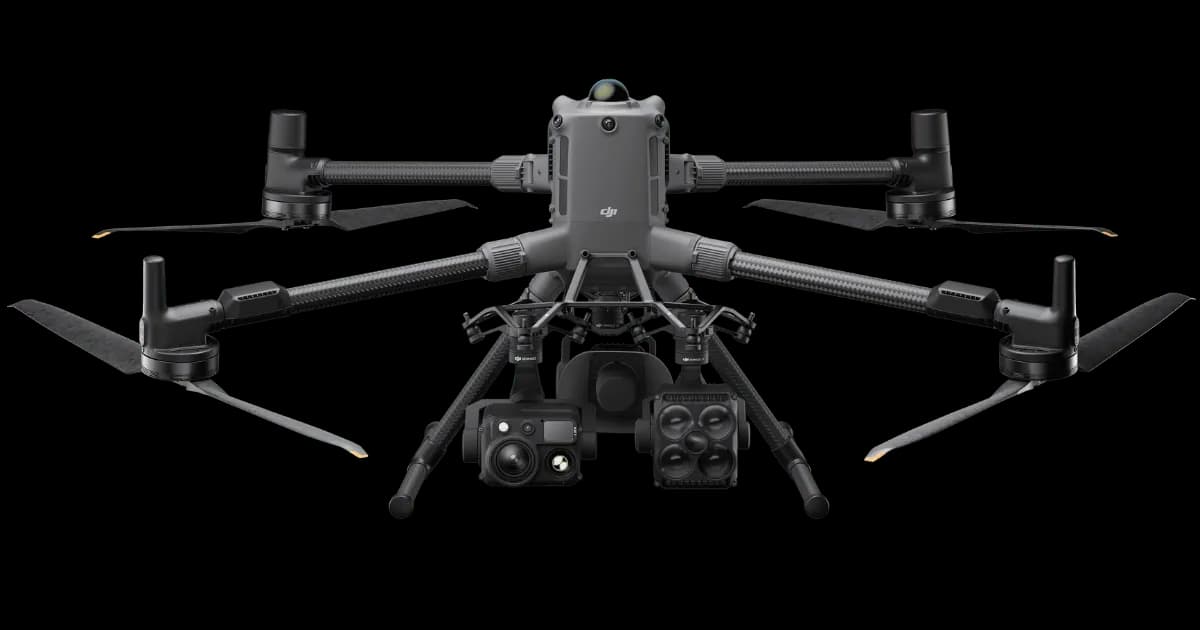
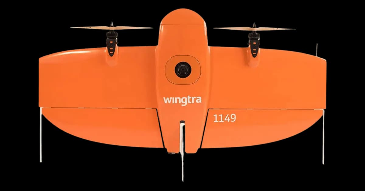
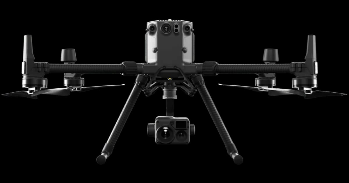
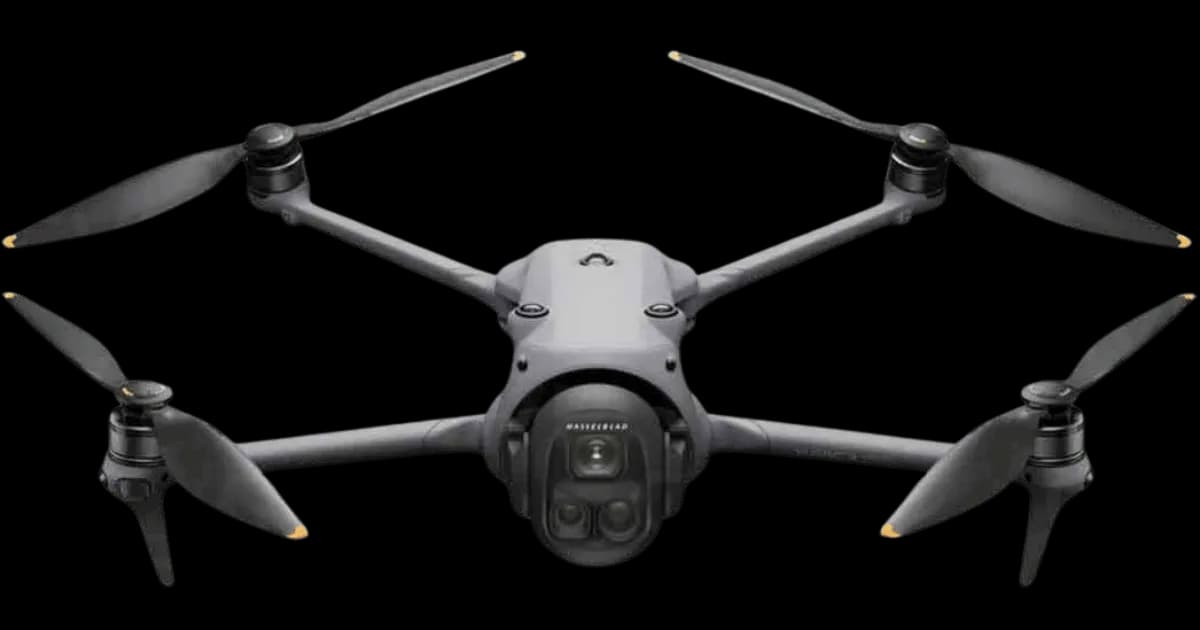
Drone Pilot Network Capabilities
From one form, access independent drone pilots equipped with high-performance platforms and specialist payloads for complex UK projects.
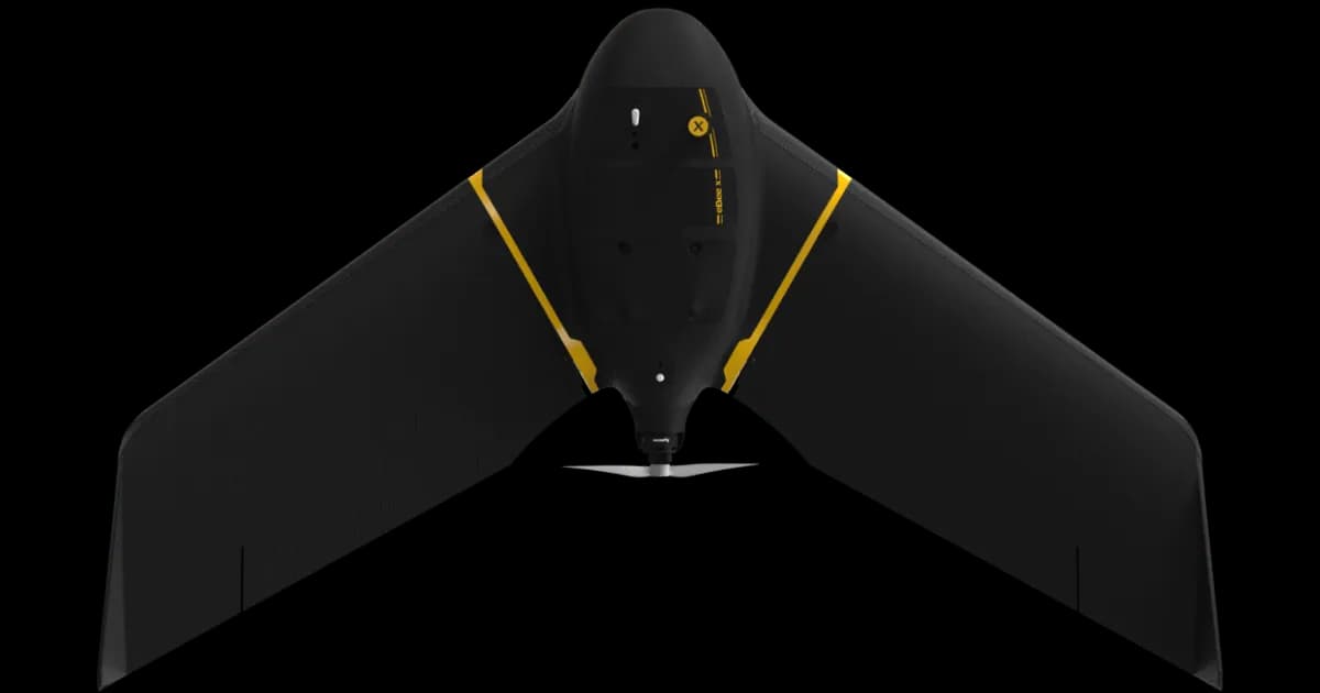
Professional fixed-wing for rapid terrain coverage
Engineered for excellence, designed for versatility
Best-in-class surveying efficiency for large projects
Professional multi-payload platform for precision surveying
Portable surveying powerhouse with RTK precision
Industry-leading inspection and mapping platform
Precision survey drone with oblique capture
1 of 7
← Swipe to explore fleet →
Why Use HireDronePilot
Post one brief and compare quotes from independent drone pilots for your project.
Compare quotes from independent drone pilots matched to your project scope, location, and timeline.
Compare direct quotes from drone pilots with transparent pricing and no platform cut added.
Share one brief and review pricing, availability, and fit in one place instead of contacting operators one by one.
Ready to compare independent drone pilot quotes?
Drone Pilot Reviews
Don't just take our word for it. Here's what drone pilots in our UK network say about getting work through the platform.
“I get relevant commercial briefs with clear scopes, so quoting is fast and accurate. It has helped me win consistent survey work without chasing low-quality leads.”
Adam Carter
Drone Pilot
“Since joining the platform, I have filled gaps in my schedule with quality roof and inspection jobs. The enquiry details are much better than generic lead forms.”
Sophie Bennett
Drone Pilot
“HireDronePilot makes it easier to focus on delivery. I can review project briefs quickly, submit competitive quotes, and pick up work in new regions.”
Daniel Khan
Drone Pilot
From initial consultation to final delivery, our streamlined process ensures efficient and accurate results for your Edinburgh project.
We discuss your Edinburgh project requirements and objectives to determine the best survey approach. Our experts will recommend the optimal drone technology and data outputs for your specific needs.
We discuss your Edinburgh project requirements and objectives to determine the best survey approach. Our experts will recommend the optimal drone technology and data outputs for your specific needs.
Our team plans the flight path, obtains Edinburgh airspace permissions, and prepares all necessary equipment. We handle all CAA regulations and site-specific risk assessments for your project.
Our team plans the flight path, obtains Edinburgh airspace permissions, and prepares all necessary equipment. We handle all CAA regulations and site-specific risk assessments for your project.
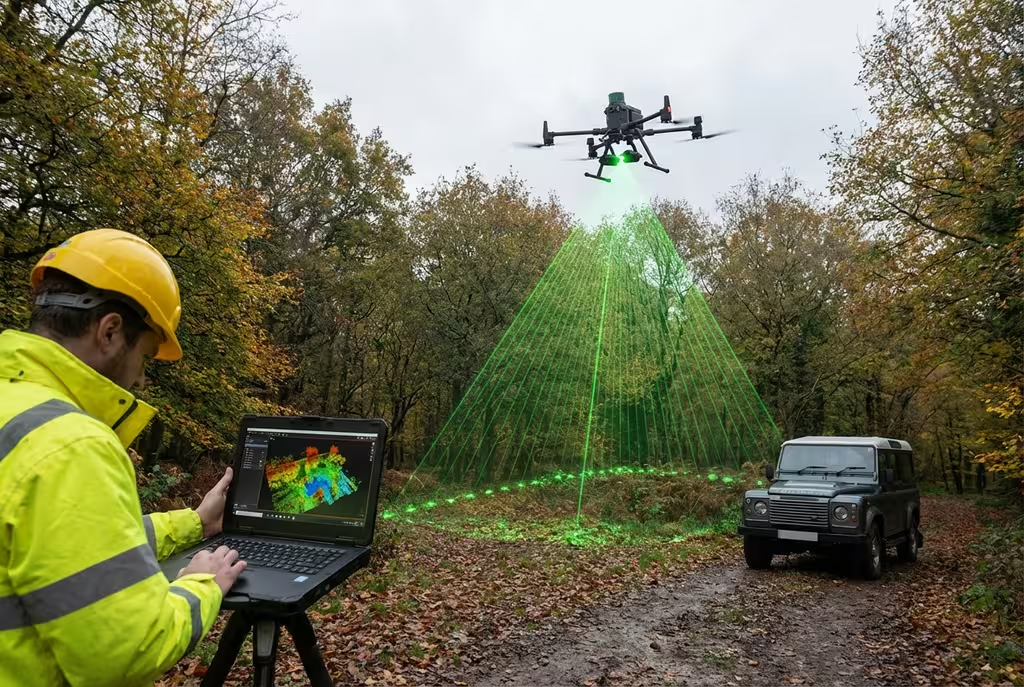
Our CAA-authorised independent drone pilots capture high-quality aerial data across Edinburgh using professional drone equipment. Survey-grade accuracy is achieved through RTK GPS and ground control points.
Our CAA-authorised independent drone pilots capture high-quality aerial data across Edinburgh using professional drone equipment. Survey-grade accuracy is achieved through RTK GPS and ground control points.
Raw data is processed using industry-leading software to create accurate deliverables. Photogrammetry, LiDAR processing, and quality checks ensure precision results.
Raw data is processed using industry-leading software to create accurate deliverables. Photogrammetry, LiDAR processing, and quality checks ensure precision results.
You receive comprehensive reports, maps, and models in your preferred formats. We provide full support to help you integrate the data into your existing workflows.
You receive comprehensive reports, maps, and models in your preferred formats. We provide full support to help you integrate the data into your existing workflows.
Ready to start your Edinburgh project?
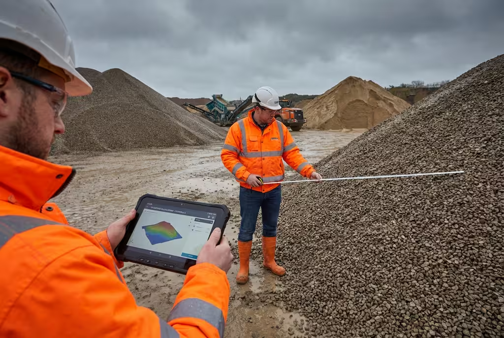
We deliver tailored drone survey solutions across Edinburgh's key industries.
Charlotte Square, George Street, financial district surveys
Edinburgh Festival, Royal Mile, event venue mapping
UNESCO World Heritage Site, Old Town, listed buildings
St Peter Quarter, Haymarket, major development projects
Office buildings, retail spaces, property surveys
Property marketing, roof surveys, boundary mapping
Get a free, no-obligation quote for your Edinburgh drone survey. Our team responds within 5 mins on average.
See how drone survey technology compares to conventional survey methods for Edinburgh projects.
We provide professional drone survey services across all of Edinburgh and the Lothians. No location is too challenging.
Trusted & Certified
Maintaining the highest standards of safety, quality, and compliance for all Edinburgh drone operations.
Public Liability Cover
Comprehensive public liability insurance providing complete peace of mind for all Edinburgh drone operations.
CAA Approved
Fully approved for commercial drone operations in Edinburgh's airspace with all necessary permissions.
PI Insurance
Full professional indemnity coverage protecting your Edinburgh project investments and deliverables.
Our Certifications & Memberships


Find answers to common questions about our drone survey services in Edinburgh.
Yes, we hold the necessary CAA permissions and can obtain clearances for flights in Edinburgh's airspace, including near Edinburgh Airport. We handle all the complex airspace permissions, including flights over the UNESCO World Heritage Site with appropriate approvals.
Edinburgh drone survey costs vary based on site size, complexity, airspace requirements, and deliverables needed. As a guide, small site surveys start from around £500, while larger commercial projects are priced per hectare. Contact us for a free, no-obligation quote tailored to your specific Edinburgh project.
Being based in nearby Dundee (just 60 miles away), we can typically mobilise for Edinburgh projects within 24 hours. Our Scottish headquarters means fast response times and local expertise for all Edinburgh projects.
Yes, our team has extensive experience surveying listed buildings and properties within Edinburgh's UNESCO World Heritage Site. We understand the sensitivities involved and work closely with Historic Environment Scotland when required.
We've completed numerous projects across Edinburgh including construction monitoring at St Peter Quarter, heritage surveys in the Old Town, roof inspections for commercial properties, and topographic surveys for planning applications throughout the Lothians.
Our Edinburgh drone surveys achieve accuracies of ±2-5cm when using ground control points (GCPs). For projects requiring higher precision, we can achieve sub-centimeter accuracy using RTK-enabled drones and post-processing techniques. All surveys meet RICS and industry standards.
We provide drone survey services across all of Edinburgh and the Lothians, including the city centre, Leith, Portobello, Corstorphine, and surrounding areas. We also cover East Lothian, West Lothian, and Midlothian.
We provide orthomosaic maps, digital elevation models (DEMs), 3D point clouds, textured 3D models, contour maps, volumetric calculations, and detailed survey reports. All deliverables are provided in industry-standard formats compatible with CAD, GIS, and BIM software.
Ready to discuss your Edinburgh drone survey requirements? Complete the form and our team will get back to you within 5 mins on average with a tailored quote for your project.
Submit once and receive competitive quotes from independent drone pilots.